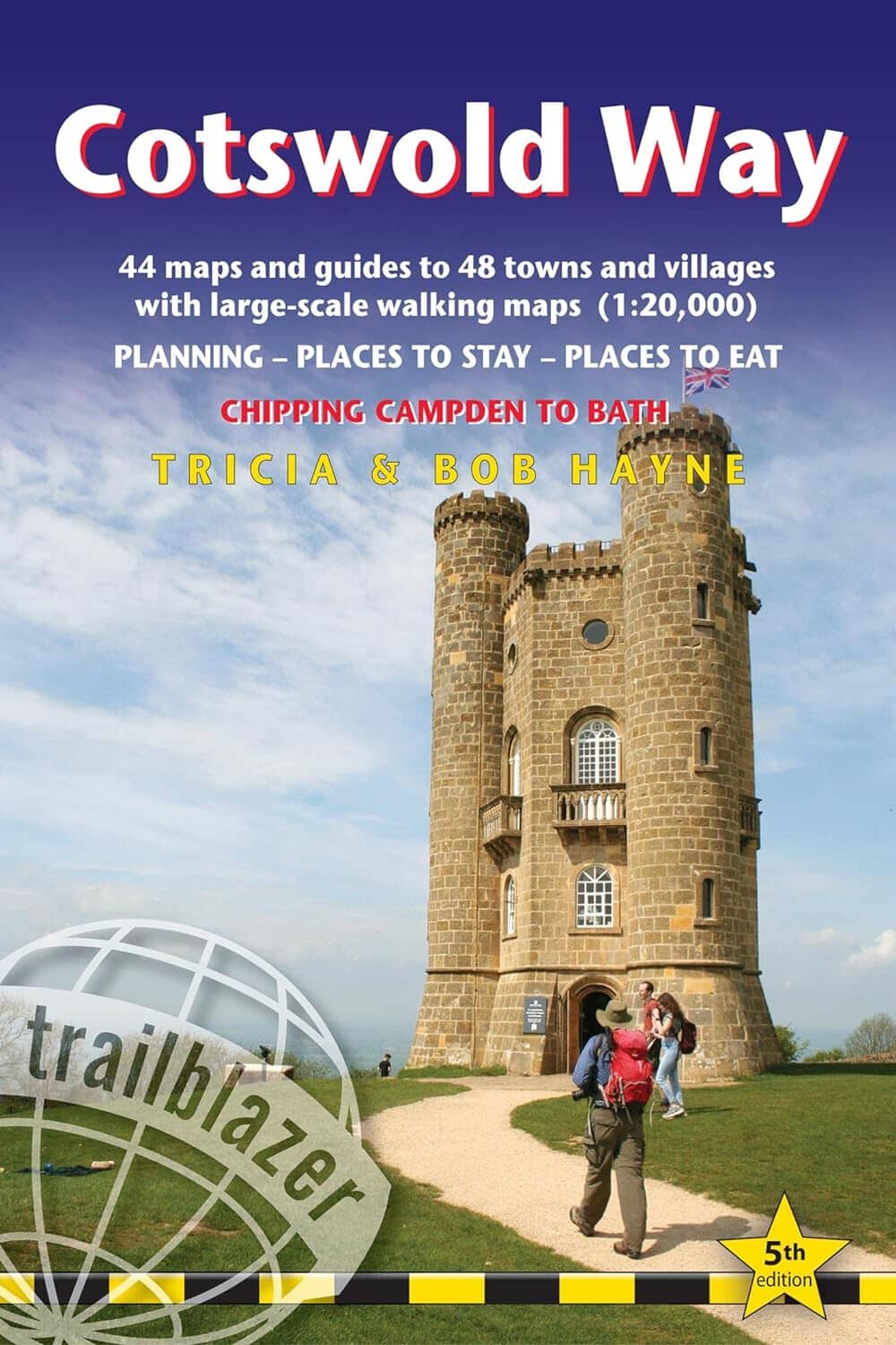
A comprehensive and practical guide to the Cotswold Way National Long Walk (163km) with maps (1:20,000) and advice. It runs from Chipping Campden to Bath and follows the magnificent Cotswold landscape. You will find all the advice for preparing your trip, accommodation and food as well as information on public transport.
Publisher description:
Trailblazer British Walking guide: Cotswold Way. All-in-one hiking route guide and large-scale walking maps (1:20,000) for the Cotswold Way, a 102-mile National Trail that runs from Chipping Campden to Bath, following the beautiful Cotswold escarpment, this is thefully revised and updated 5th edition.The trail leads through quintessentially English countryside with little villages of honey-colored stone to the popular tourist destination of Bath.
Includes:
* 44 large-scale maps at just under 1:20,000 (3 1/8 inches to 1 mile) - showing route times, places to stay, points of interest and much more and trail profiles;
* 8 town plans - Chipping Campden, Broadway, Winchcombe, Cheltenham, Painswick, Dursley, Wotton-under-Edge, and the city of Bath and 8 overview maps. walkers - whether walking the route in its entirety over seven to eight days or sampling the highlights on day walks and short breaks. Way.
guide.
* Downloadable gps waypoints.