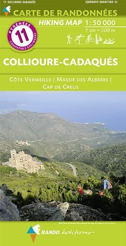
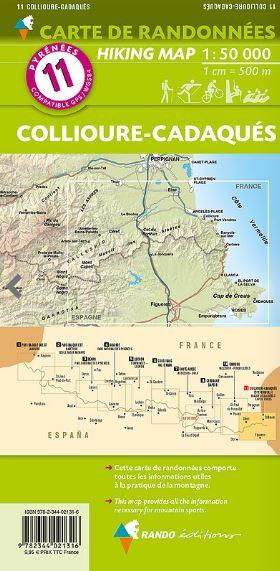
Detailed topographic map of the Collioure and Cadaès region. Hiking map Pyrenees No. 11 published by Rando Editions, which covers the Albères Massif and the Vermeille Coast (Roussillon) as well as Cap de Creus. Hiking map with level curves and useful information to the mountain practice included. Scale 1/50 000 (1 cm = 500 m).
ISBN/EAN : 9782344021316
Publication date: 2017
Scale: 1/50,000 (1cm=500m)
Printed sides: front
Folded dimensions: 22.5 x 11 x 0.5cm
Unfolded dimensions: 120 x 90cm
Language(s): French English
Weight:
80 g


