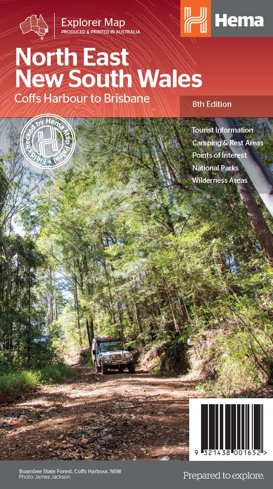
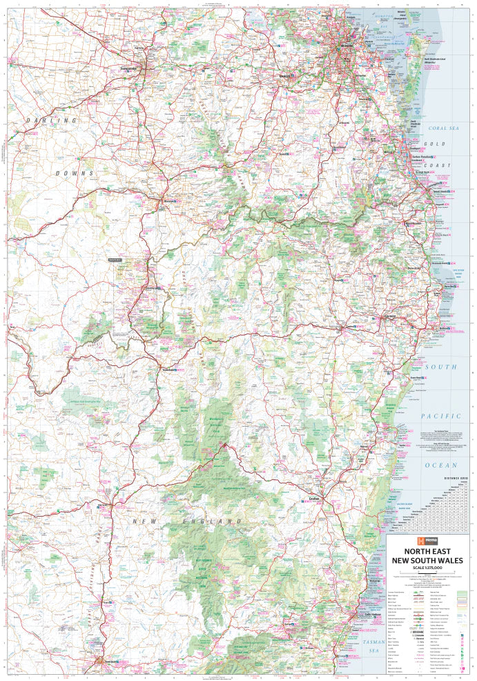
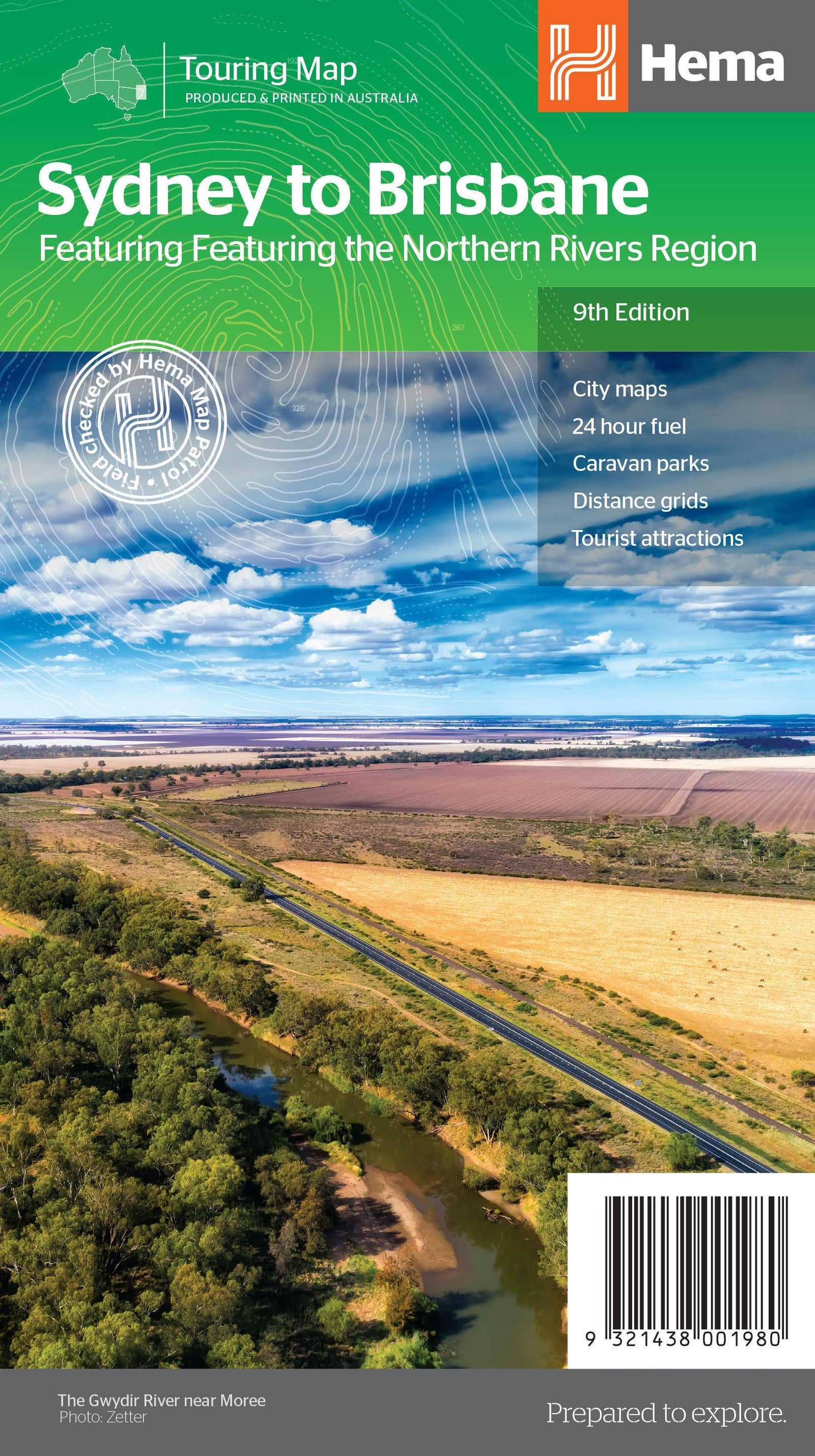
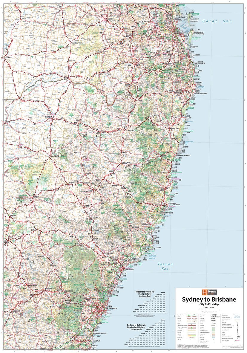
Road map - New South Wales, Northeast (Australia) | Hema Maps

Price
Regular price 1590 €
Regular price Sale price 1590 €
/
  • Shipping within 24 working hours from our warehouse in France
  • Choisissez votre mode et vos frais de livraison à l’étape de paiement, avant de valider.
  • Retours gratuits (*)
  • Stocks en temps réel
  • In stock, ready to ship
  • Backordered, shipping soon
Tax included.

Souvent achetés ensemble :

Northeastern Road map of New South Wales (Australia) published by Hema Maps. This map extends from Brisbane to Urunga (from north to south) and to Texas to the west.

It covers the Summerland Way, Bruxner Highway, Waterfall Way and Gwydir Highway, as well as the main tourist attractions along the Pacific Route and the New England route.

Distances shown on the map, tourist information (national parks, accommodation, distances etc ...). On the back, a lot of information about the tourist curiosities of the new South Galle.

Scale 1/375 000.


ISBN/EAN : 9321438001652
Publication date: 2013
Scale: 1/375,000 (1cm=3.75km)
Printed sides: both sides
Folded dimensions: 25 x 14 x 0.3cm
Unfolded dimensions: 100x70cm
Language(s): English
Weight: 80 g