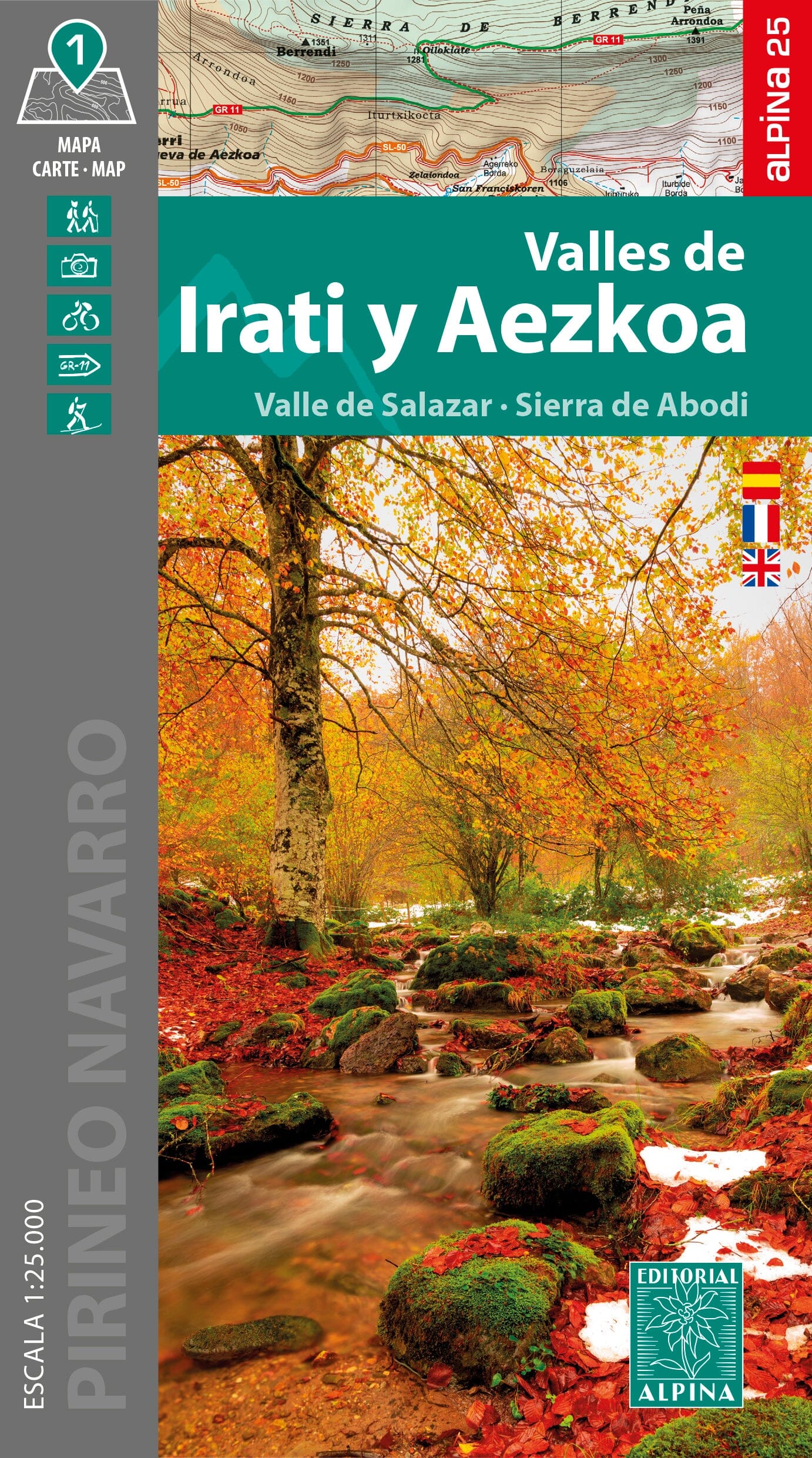
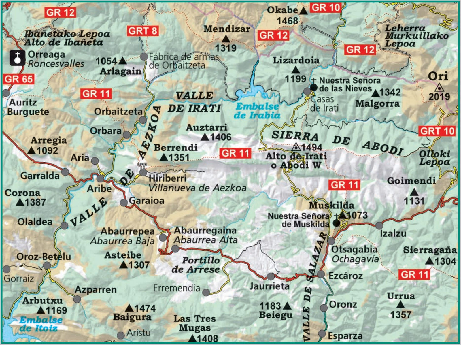
Hiking map - Irati and Aezkoa Valleys (Navarre, Pyrenees) | Alpina
- Shipping within 24 working hours from our warehouse in France
- Shipping method and fees are shown at checkout
- Free returns (*)
- Real-time stock levels
- In stock, ready to ship
Over 19,500 maps 🗺️ and travel guides, hiking maps, posters, globes, and décor items in stock!
Rated Excellent ⭐️ on Trustpilot — 9,000+ reviews from explorers and map lovers worldwide.
Explore the world, one map at a time 🗺️
Detailed topographic map of the Irati and Salazar valleys in Navarre (Pyrenees, Spain).
The Aezkoa and Salazar valleys reflect all the splendor of the Navarrese Pyrenees, with lush green landscapes and vast beech forests that culminate in the magical Irati Forest. These valleys captivate not only for their natural beauty, but also for the authentic charm of their preserved villages. Historically, Roncesvalles stands out as an emblematic starting point of the Way of St. James, steeped in legend and spirituality.
The extensive network of long-distance hiking trails (GR 11, GRT 8, GRT 9, GRT 10, GR 12, GR 65) and local trails make these valleys an ideal place for hiking in the heart of nature.
Area covered: Navarrese Pyrenees. Valleys of Irati, Aezkoa and Salazar.
Features: Topographic map at a scale of 1:25,000, with information of interest: marked trails (GR, PR, SL), paths, climbs, dolmens, waterfalls, etc.
The foldable flap includes: • Practical information · Hiking • Shelters · Must-see sites
ISBN/EAN : 9788470111808
Publication date: 2025
Scale: 1/25,000 (1cm=250m)
Printed sides: front
Folded dimensions: 21.1 x 11.6 x 0.8cm
Unfolded dimensions: 123 x 84cm
Language(s): French, English, Castilian
Weight:
200 g
The exclusive newsletter for travel and discovery enthusiasts!