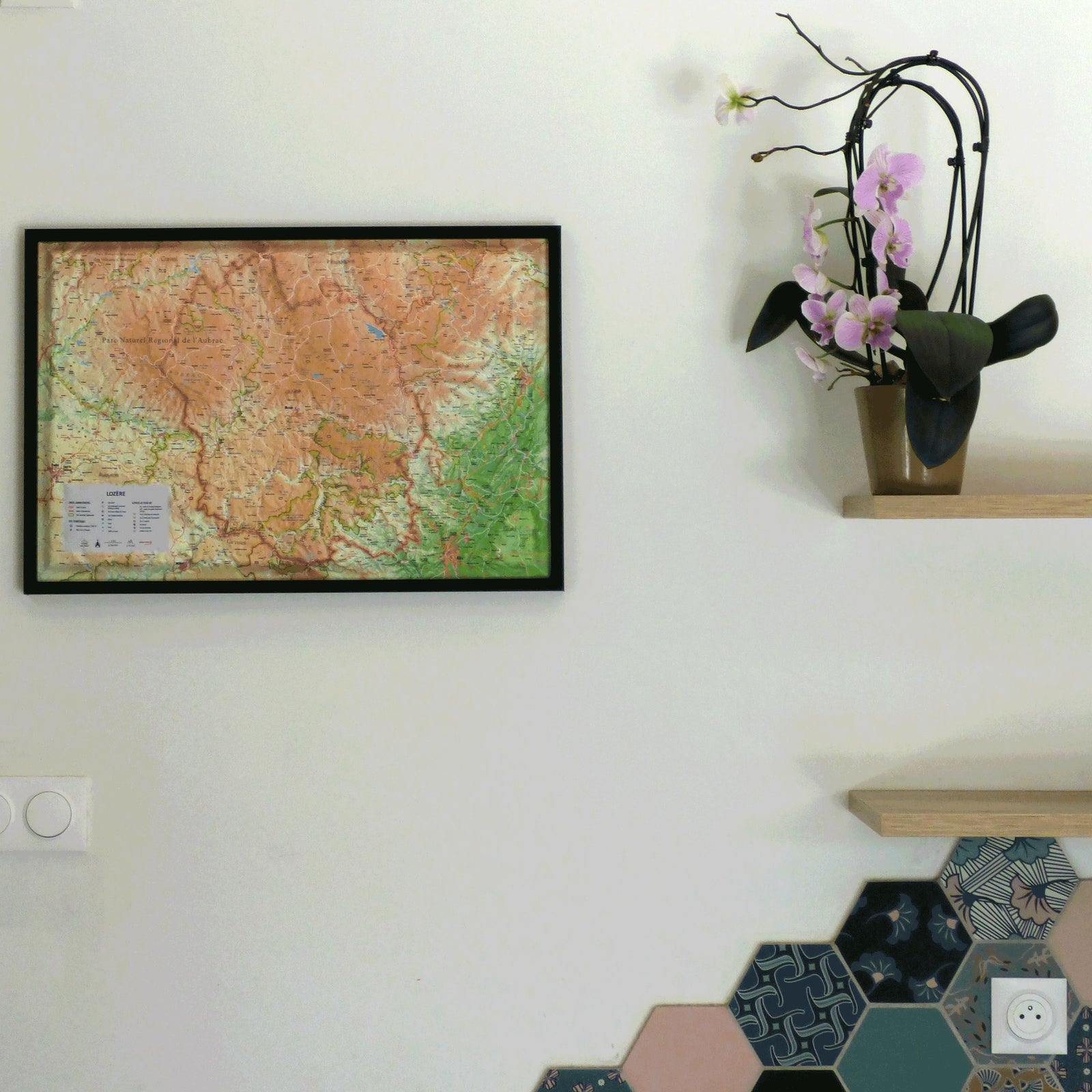
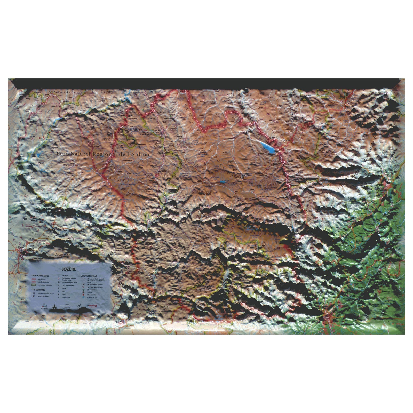
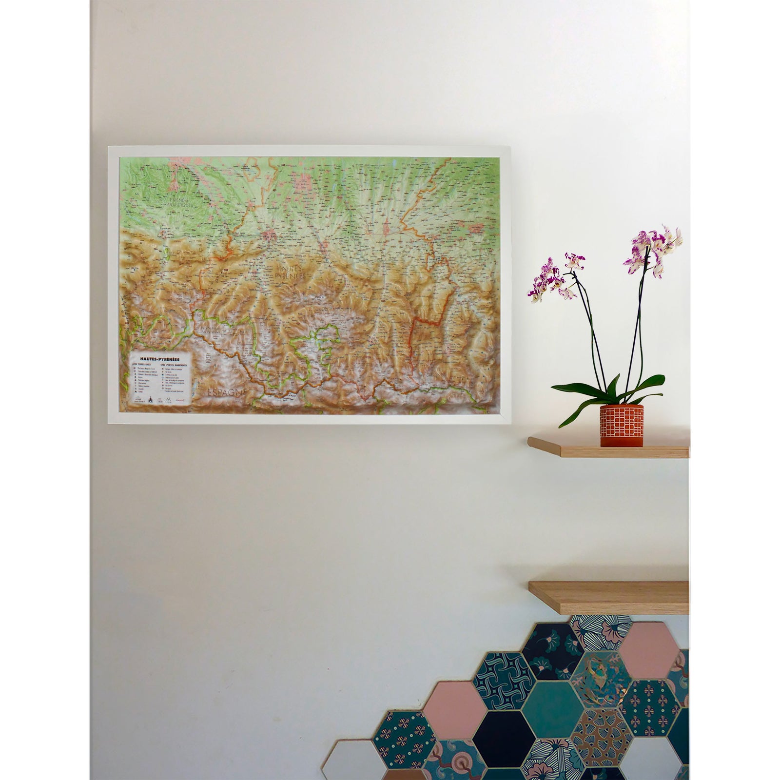
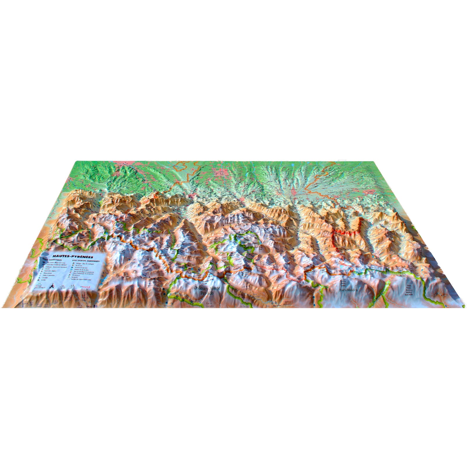
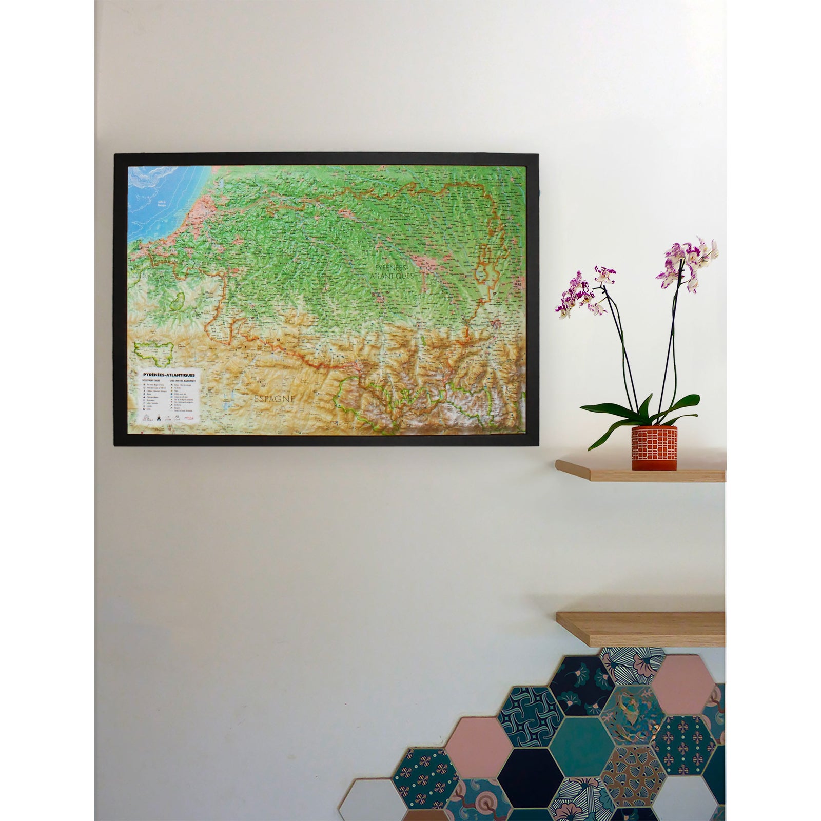
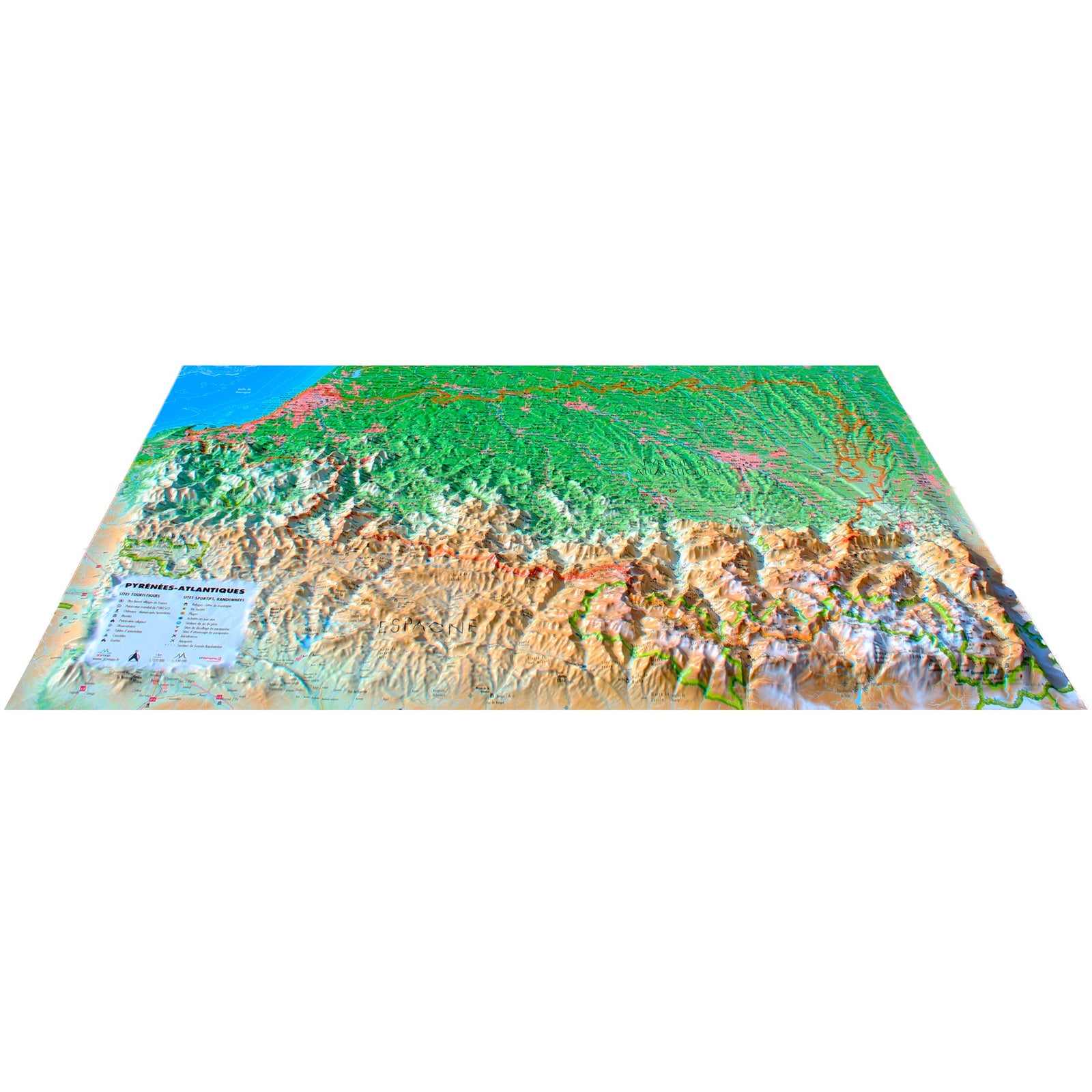
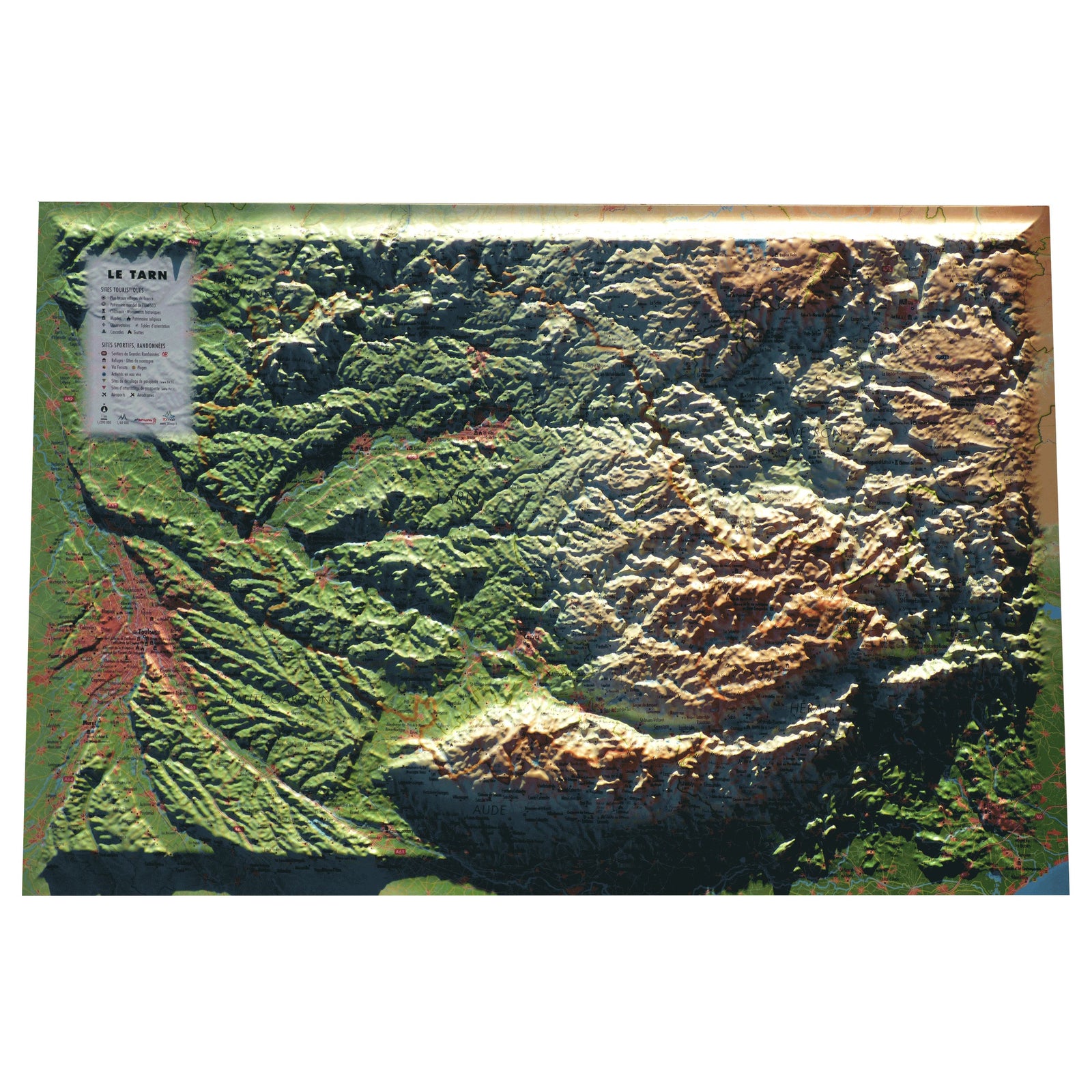
Relief wall map - Lozère - 61 cm x 41 cm | 3D Map
- Shipping within 24 working hours from our warehouse in France
- Shipping method and fees are shown at checkout
- Real-time inventory
- Low stock - 2 items left
Over 19,500 maps 🗺️ and travel guides, hiking maps, posters, globes, and décor items in stock!
Rated Excellent ⭐️ on Trustpilot — 9,000+ reviews from explorers and map lovers worldwide.
Explore the world, one map at a time 🗺️
Relief wall map of Lozère published by 3D Map.
A finishing frame is also available as an option: We highly recommend it to make hanging easier and to enhance the appearance of your map.
Information included on the map:
• Hydrological, natural and hypsometric data – Administrative data
• City of art and history, UNESCO World Heritage, Classified site, Heritage site, protected historic monument, Most Coffee table village in France, Site of tourist interest, Museum, Gorge, Cave, Chasm or Aven
• GR: Long-distance hiking trail, GRP: Country long-distance hiking trails, Climbing site, White water activities, Via ferrata, White water activity, Canyoning site, Paragliding sites (www.ffvl.fr ) - Takeoffs - Landings, Airports, Aerodromes
• Planimetric scale: 1: 260,000 & Altimeter scale: 1: 75,000
ISBN / EAN : 9791097206529
Date de publication : 2024
Echelle : 1/260,000 (1cm=2.6km)
Dimensions déplié(e) : 61cm x 41cm
Langue : French
Poids :
136 g
The exclusive newsletter for travel and discovery enthusiasts!