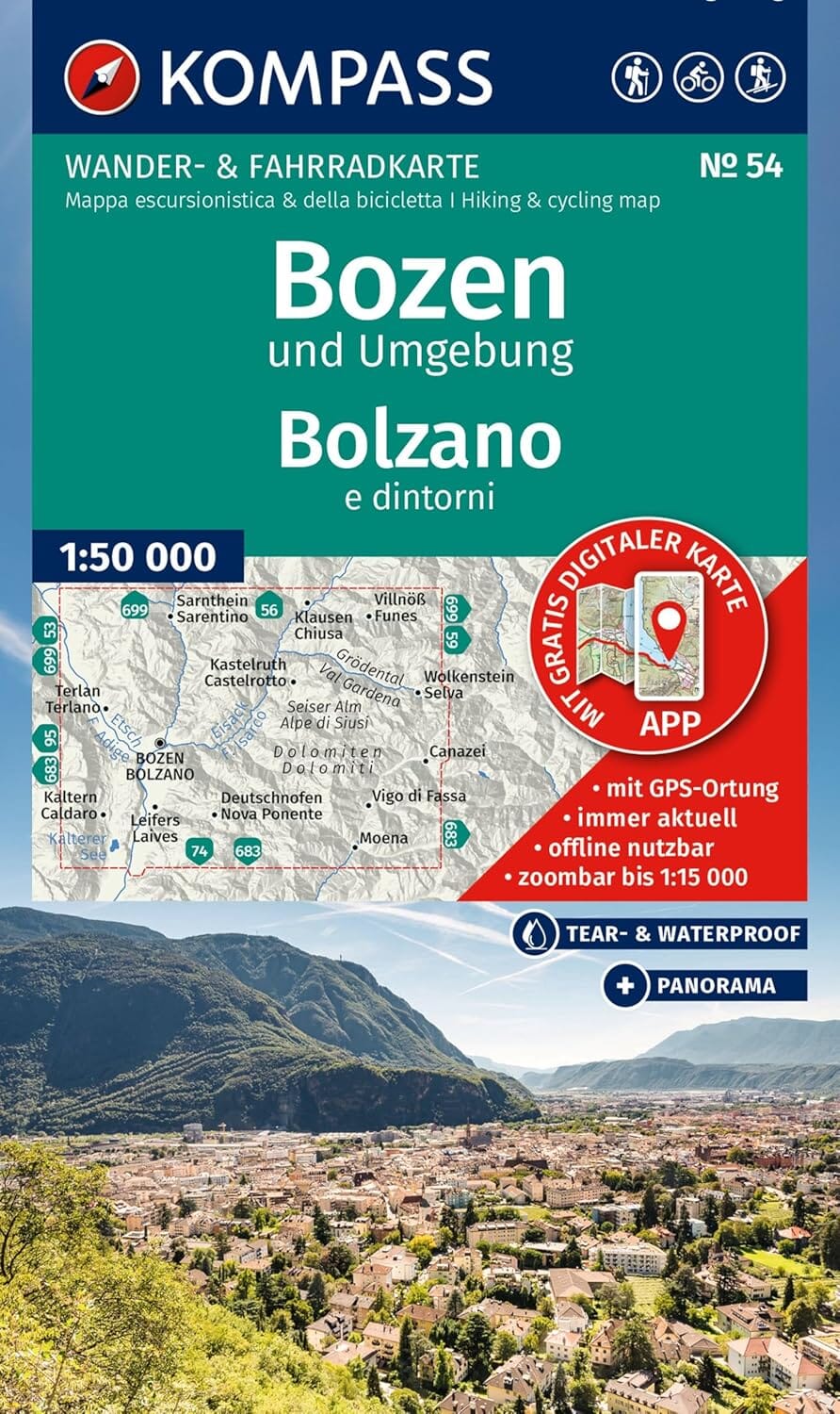
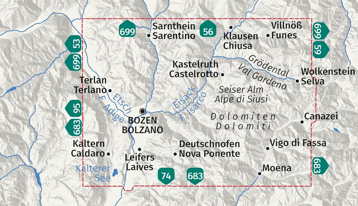
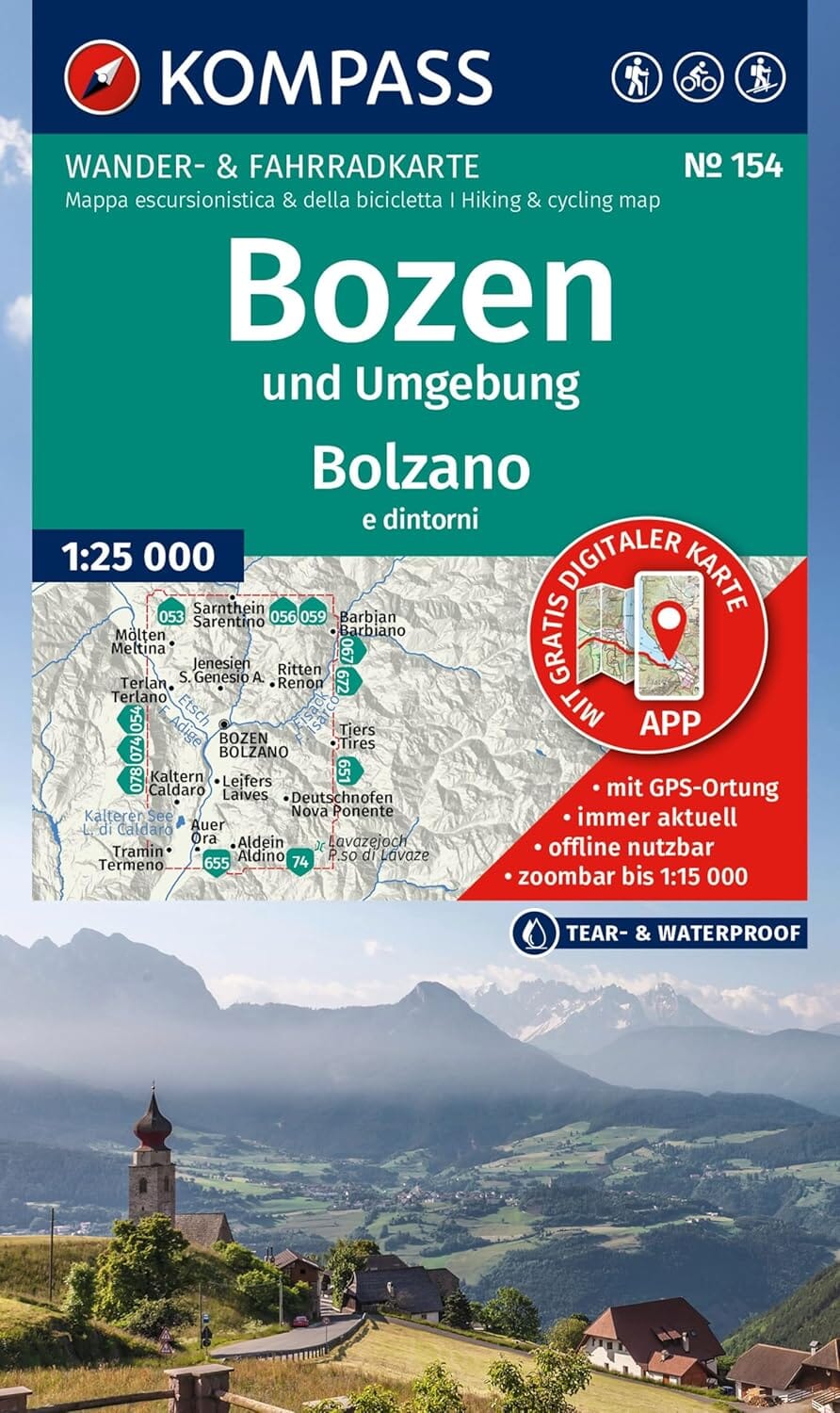
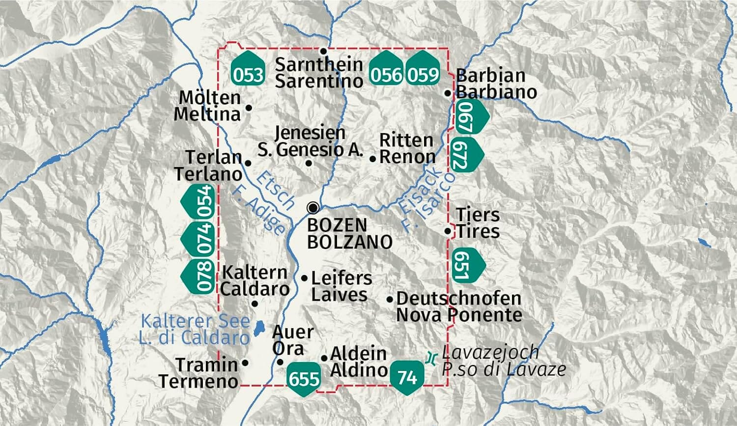
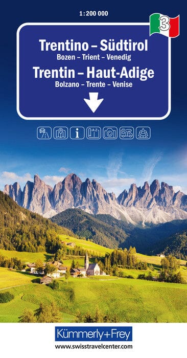
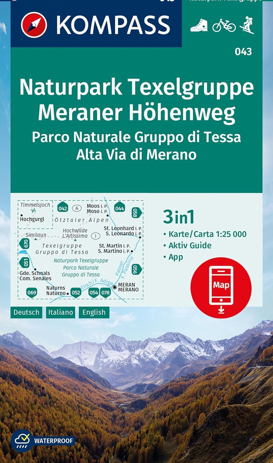
Hiking map – Bolzano and surroundings / Bozen e dintorni
Hiking, biking, skiing, nature – Scale 1:50,000 | Kompass
Explore the mountains, forests and valleys around Bolzano (Bozen) with this Kompass hiking and outdoor activities map, ideal for planning your hiking, mountain biking, cross-country skiing or via ferrata outings.
🗺️ Map Features:
-
Scale 1:50,000 : 1 cm on the map = 500 m in reality
-
Highly readable topographic map, with contour lines, vegetation, rock representation and relief shading
-
Official hiking trails with names and numbers (including long-distance routes)
-
Cycle paths, mountain bike trails, via ferrata, cross-country skiing and ski touring circuits
-
Practical information: hostels, shelters, parking, bus/train stops, springs, swimming spots, etc.
📲 Additional benefits:
-
Map printed on water and tear resistant paper – perfect in all weathers
-
Digital version included via the Kompass-Wanderkarten app (offline viewing + zoom levels)
-
Hand-drawn panorama on the back: a clear and aesthetic overview of the relief
📌 Whether you are a hiker, cyclist or winter sports enthusiast, this comprehensive and intuitive map will accompany you on all your adventures around Bolzano .