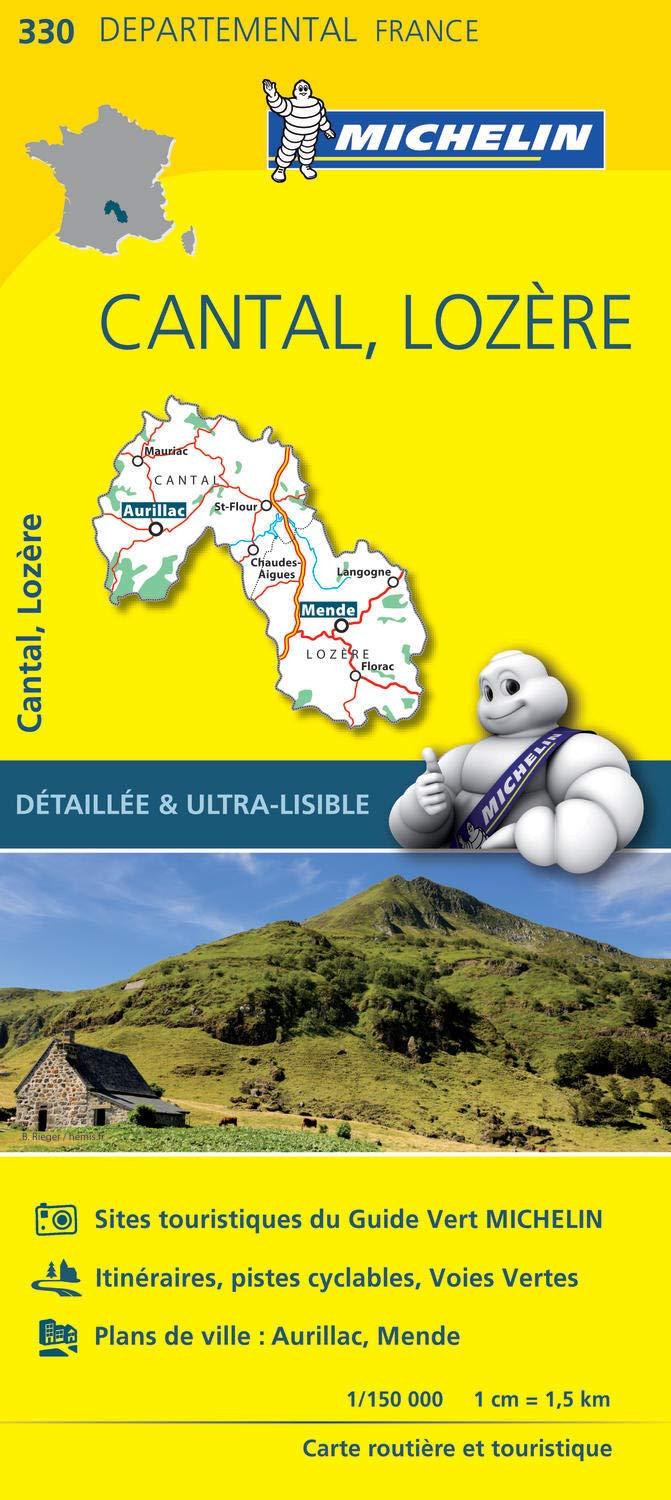
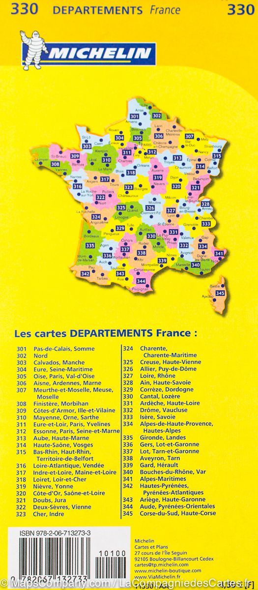
The indispensable hiking map! These topographic maps of a very high accuracy contain all existing details in the field: communication pathways to the slightest path, constructions to the hangar, wood, isolated tree, river, source ... without forgetting the representation of the relief by level curves. p>
Covered communes strong> span> span>: Saint - Flour, Murat, Neussargues in pinatelle, Paulhac, Valuéjols, Coltines, Ussel, Laveisnenet, Saint - Poncy, La Chapelle - Laurent, Tivesi, Lastic, Montchamp, Saint Georges, Old Pess, Coren, Ruynes - en - Margeride, Andela, Saint - Mary - le - Plain, Rézentries, Vabres p>
places to discover strong> span> span>: Volcano region of Auvergne Volcanoes, Chapelas, Puy de Barre, Montjournal, Organs, Gorges de l 'Ander, St - Antoine, Château de Varillettes, Tour de Merdogne, Waterfall of Babory, Wildlife House, Phallian Menhir Sit Pierre Plantade, Vauclair. P>