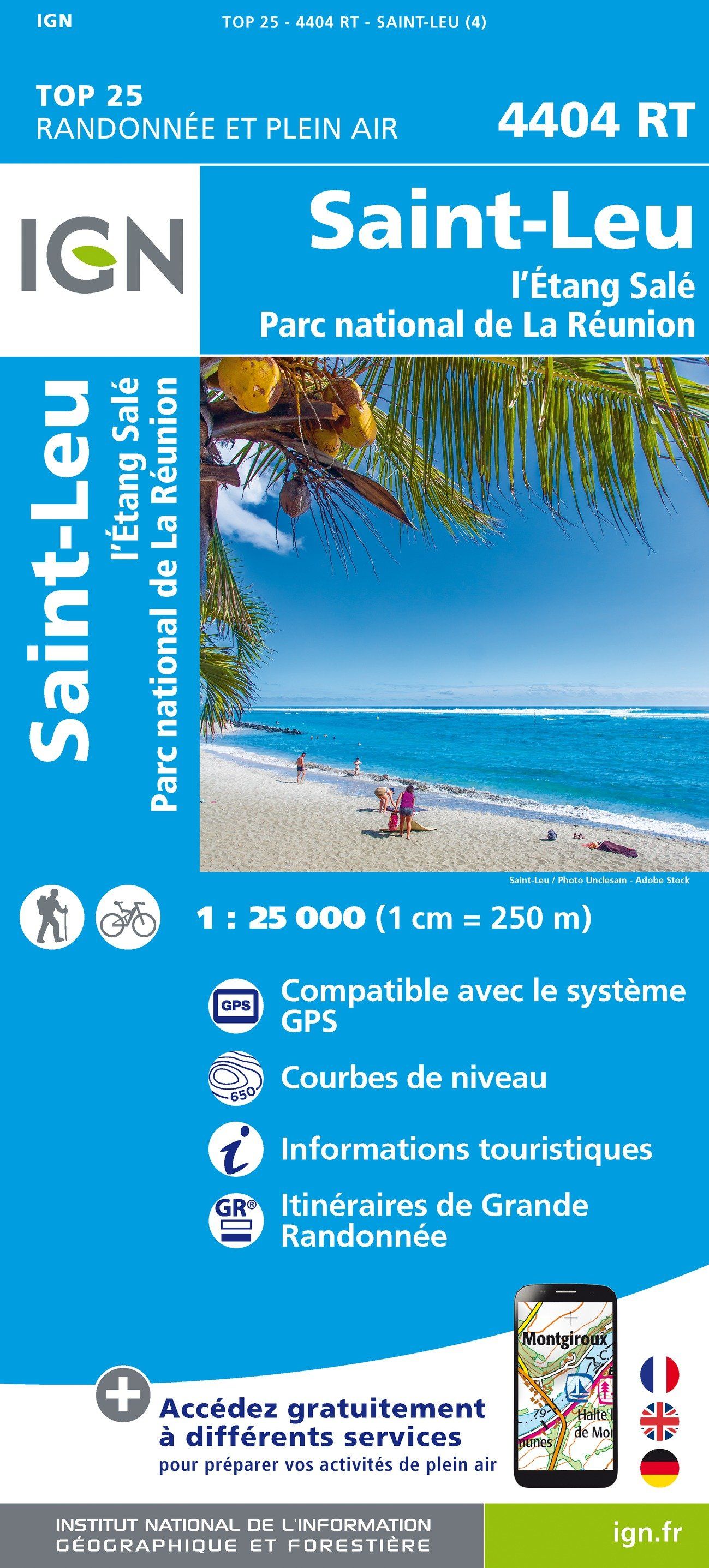
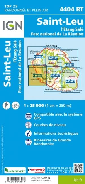
TOP 25 Map No. 4404 RT - St Leu, l'Etang Salé (Reunion Island, Southwest) | IGN

Price
Regular price 1410 €
Regular price Sale price 1410 €
/
  • Shipping within 24 working hours from our warehouse in France
  • Choose your delivery method and cost at checkout, before confirming your order.
  • Free returns (*)
  • Real-time inventory
  • Low stock - 2 items left
  • Backordered, shipping soon
Tax included.

Often purchased together:

Top 25 map of the southwestern area of ​​the island of Reunion, between Saint Leu and Salé Pond, published by IGN.

Hiking map with space curves spaced 10 meters and detailed legend (vegetation, rocks, streams etc ...)


ISBN/EAN : 9782758546979
Publication date: 2020
Scale: 1/25,000 (1cm=250m)
Printed sides: front
Folded dimensions: 23.6 x 11.2 x 0.5cm
Unfolded dimensions: 96 x 132cm
Language(s): French, English, German
Weight: 81 g