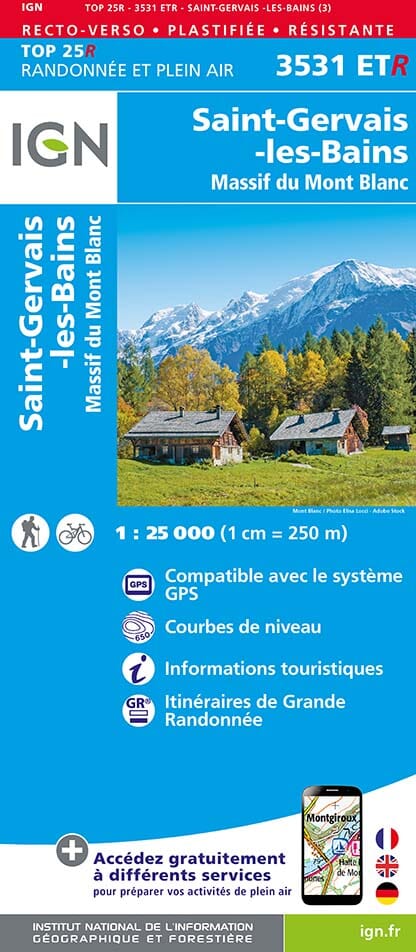
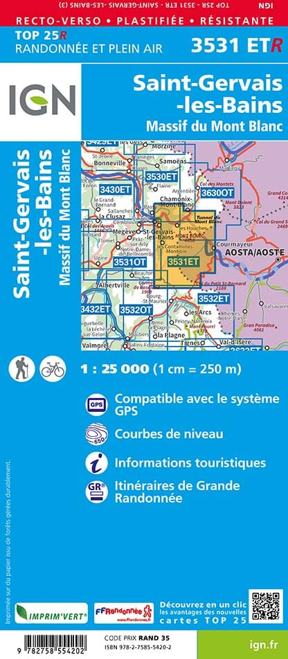
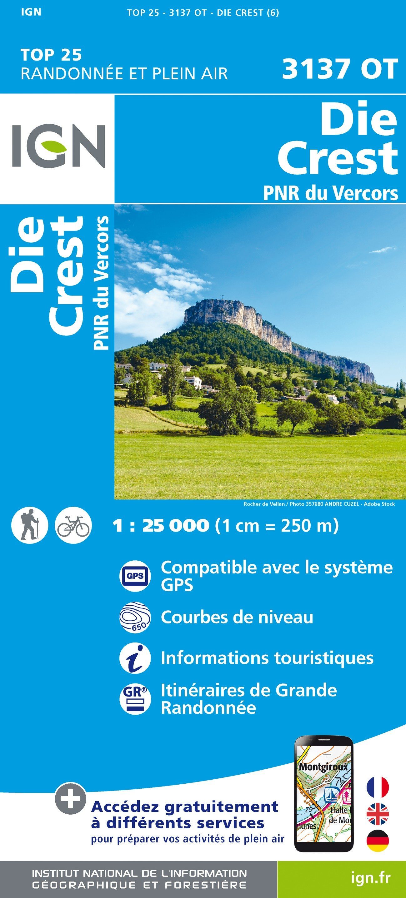
TOP 25 Map No. 3531 ETR (resistant) - St Gervais & Mont Blanc Massif | IGN
Regular price
1730 €
Regular price
Sale price
1730 €
/
- Shipping within 24 working hours from our warehouse in France
- Choose your delivery method and cost at checkout, before confirming your order.
- Free returns (*)
- Real-time inventory
- In stock, ready to ship