Road map - Eastern Canada | National Geographic
- Shipping within 24 working hours from our warehouse in France
- Shipping method and fees are shown at checkout
- Free returns (*)
- Real-time stock levels
- In stock, ready to ship
Plus de 19 500 cartes 🗺️ et guides de voyage, cartes de randonnée, posters, globes, déco en stock !
Plus de 19 500 cartes 🗺️ et guides de voyage, cartes de randonnée, posters, globes, déco en stock !
La Compagnie des Cartes devient Cartovia ✨ Notée Excellent ⭐️ sur Trustpilot (9 000+ avis).
Livraison gratuite pour toute commande > 50 € (cartes pliées et guides, France métropolitaine)
Livraison gratuite pour toute commande > 50 € (cartes pliées et guides, France métropolitaine)
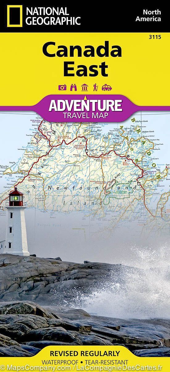
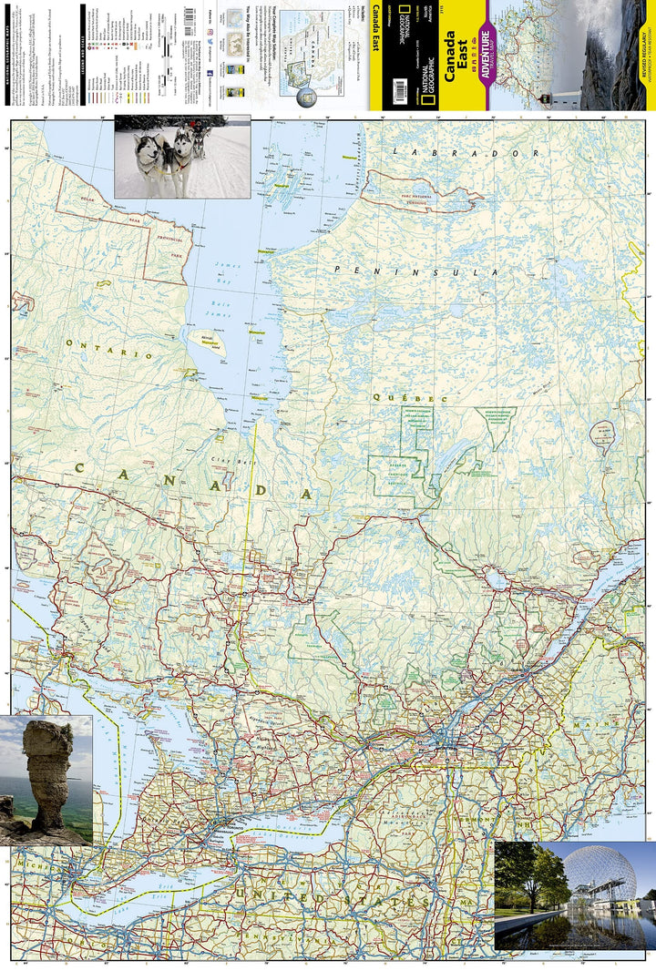
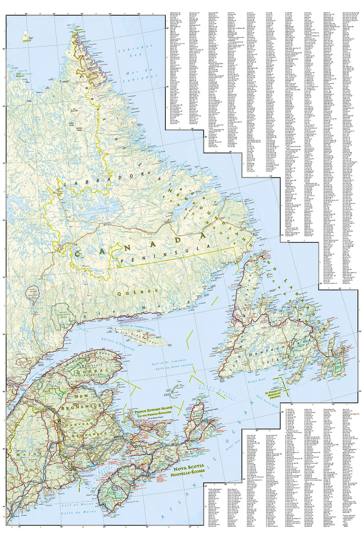
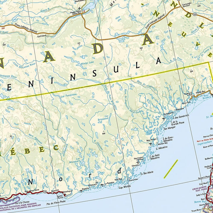
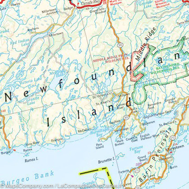
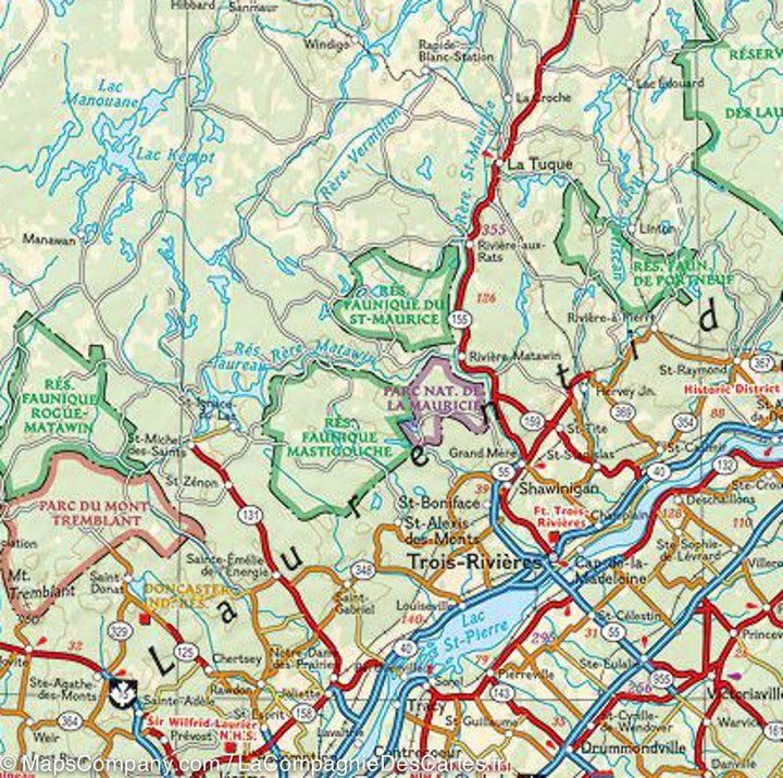
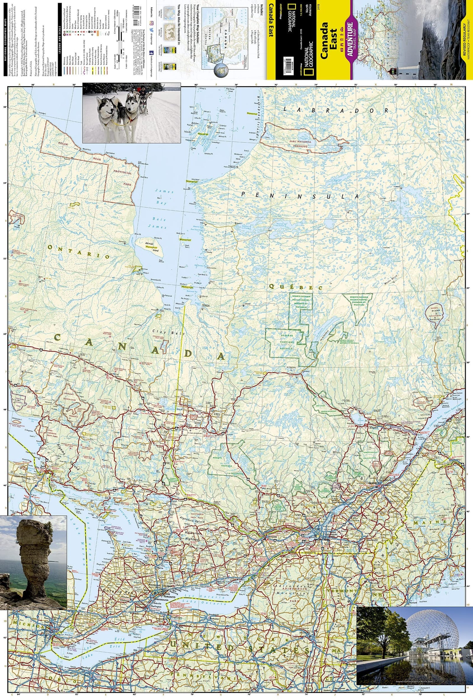
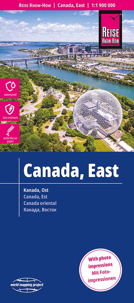
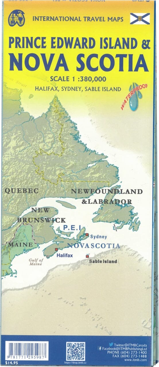
Central Canada Tourist map published by National Geographic. This map covers Quebec, the Atlantic Provinces (New Brunswick, Nova Scotia, Prince Edouard Island), Newfoundland and Labrador. Roads and protected areas (national parks, reserves ...) are indicated. Tourist attractions and photos also included. Cities index.
Detailed waterproof and tearing resistant.
Scale 1/2 100 000 (1 cm = 21 km).
ISBN/EAN : 9781566956376
Publication date: 2022
Scale: 1 / 2,100,000 (1cm = 21km)
Printed sides: both sides
Folded dimensions: 23.5 x 10.7 x 0.8cm
Unfolded dimensions: 100x70cm
Language(s): English
Weight:
89 g
We have not received this order as yet.
Excellent map. Very detailed and useful for travel. Excited to begin to use it.
Carte détaillée pour un road trip au Canada c est top...je sais déja que cet objet fera partie de mon quotidien en voyage et qu' elle vivra beaucoup de manipulations...elle saura résister à mes hésitations qui la fera plier à mes moindres désirs..sans s endommager.
Just what we wanted
Nice map with a lot of interesting information
L'infolettre exclusive des passionnés de voyage et de découverte !
