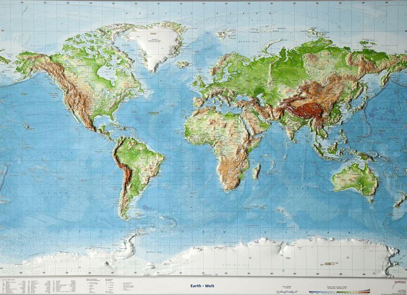
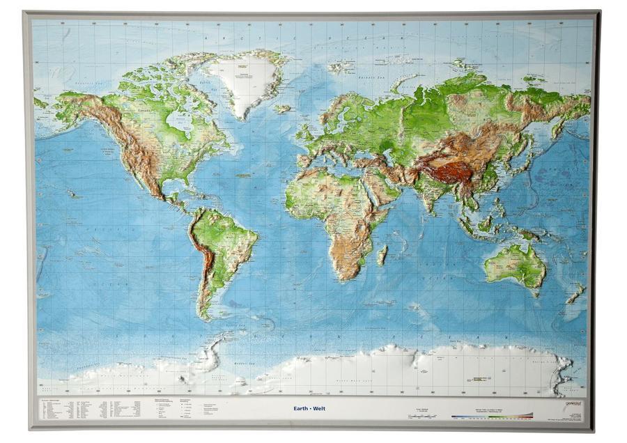
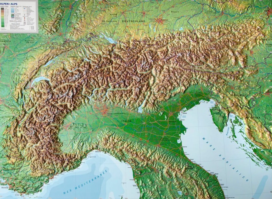
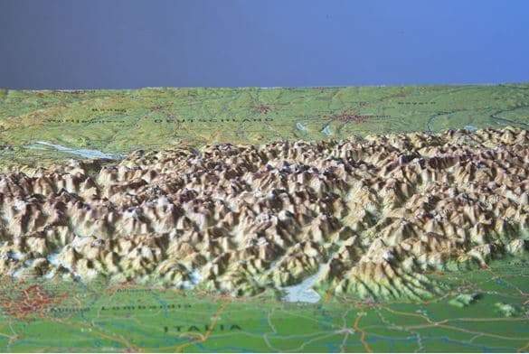
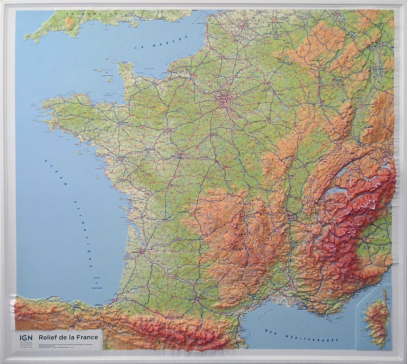
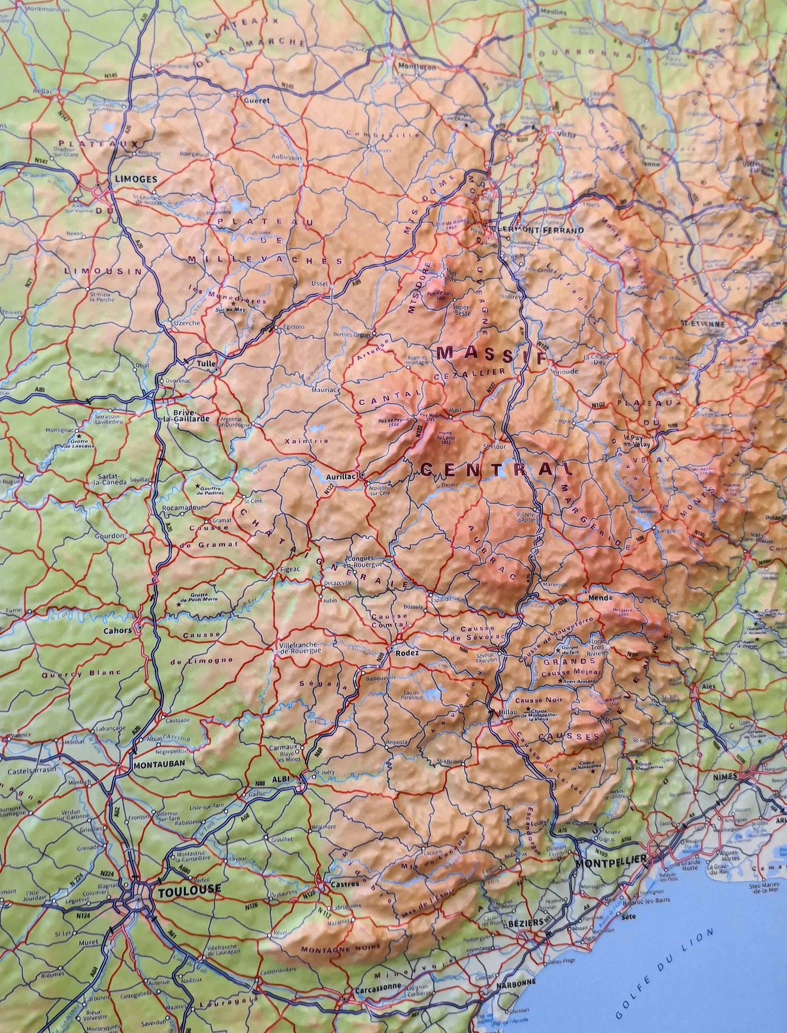
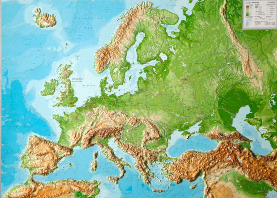
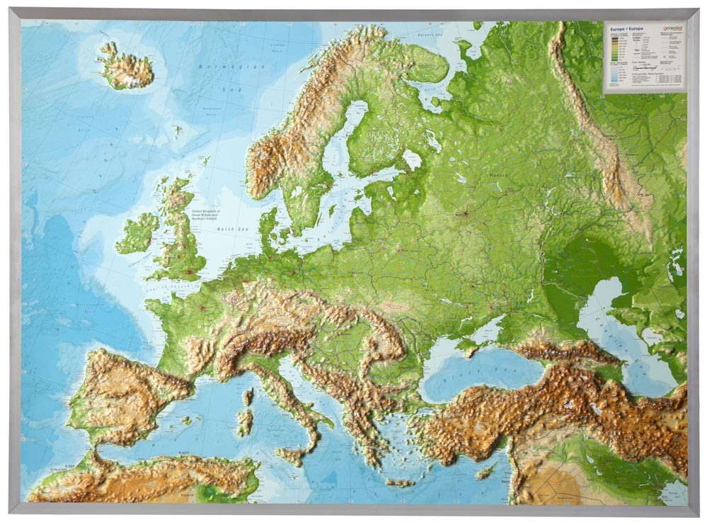
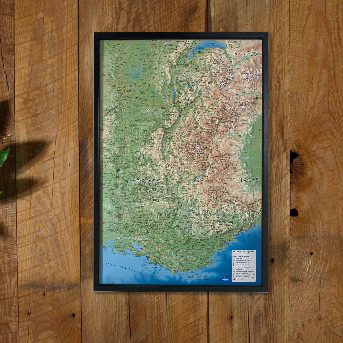
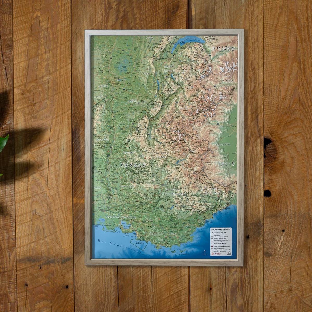
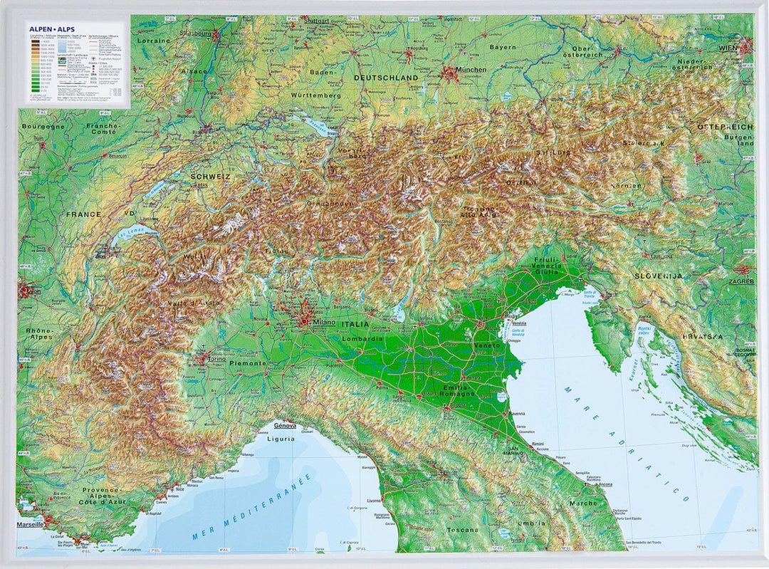
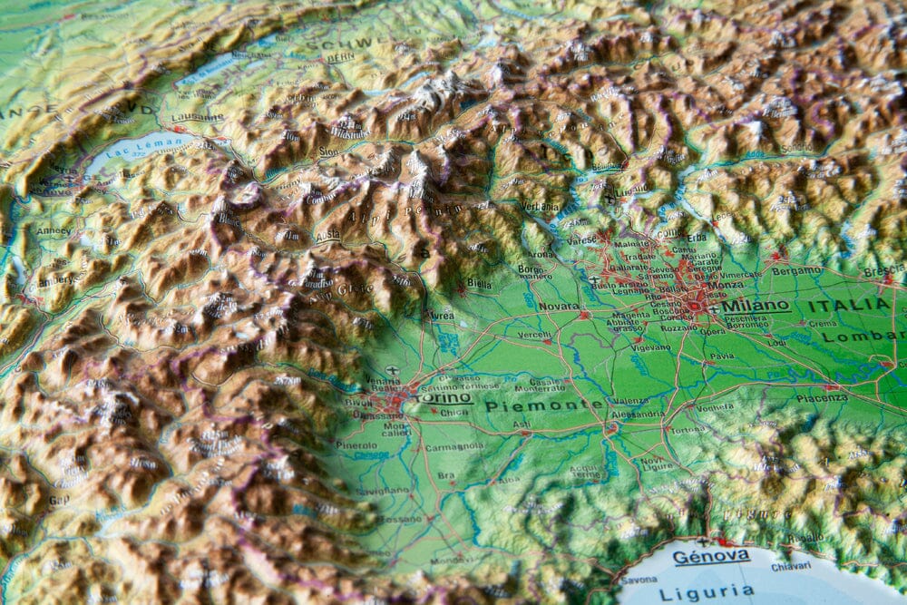
Relief wall map - Alps (in English) - 39 x 29 cm | Georelief
- Shipping within 7 to 10 working days from our warehouse in France
- Shipping method and fees are shown at checkout
Over 19,500 maps 🗺️ and travel guides, hiking maps, posters, globes, and décor items in stock!
La Compagnie des Cartes devient Cartovia ✨ Notée Excellent ⭐️ sur Trustpilot (9 000+ avis).
MapsCompany becomes Cartovia ✨ Rated Excellent ⭐️ on Trustpilot (9,000+ reviews).
Livraison gratuite pour toute commande > 50 € (cartes pliées et guides, France métropolitaine)
Relief map of the Alps published by Georelief. The 3D technique used creates a detailed, high-quality and visually appealing relief thanks to colorful shading nuances.
Detailed information: 3D relief of the landscape, hydrographic network, indication of cities, highways, main roads, names of mountains, contour lines and airports.
ISBN / EAN : 4280000002204
Date de publication : 2025
Echelle : 1/2,400,000 (1cm=24km)
Impression: front
Dimensions déplié(e) : 39 x 29 cm
Langue : English
Poids :
100 g
The exclusive newsletter for travel and discovery enthusiasts!