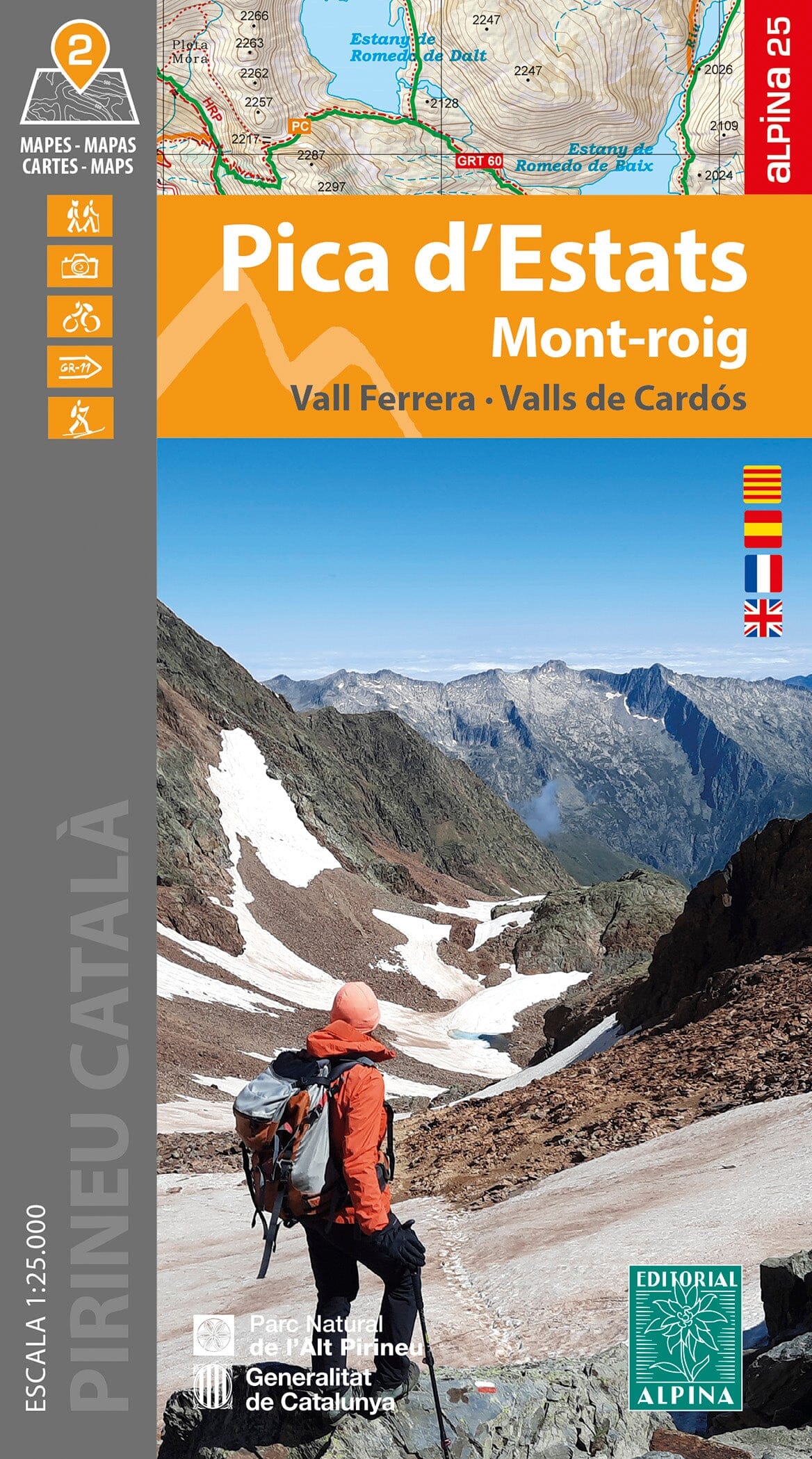
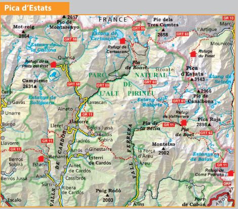
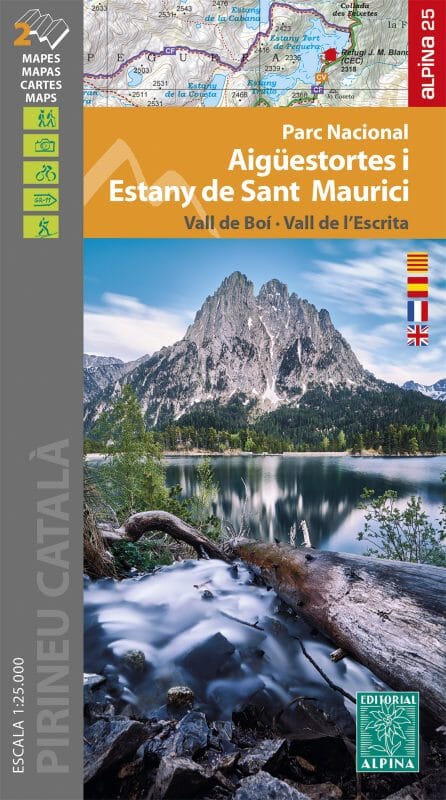
Set of 2 hiking maps - Pic Estats & Mont-Roig (Catalan Pyrenees) | Alpina
- Shipping within 24 working hours from our warehouse in France
- Shipping method and fees are shown at checkout
- Free returns (*)
- Real-time stock levels
- In stock, ready to ship
Over 19,500 maps 🗺️ and travel guides, hiking maps, posters, globes, and décor items in stock!
Rated Excellent ⭐️ on Trustpilot — 9,000+ reviews from explorers and map lovers worldwide.
Explore the world, one map at a time 🗺️
lot of two detailed hiking maps of PIC Estats and Mont - Roig. span> p>
These topographic map include information of interest for hikers: shelters, marked trails (GR, PR, local trails), mountain trails, etc. span> p>
Detailed maps, published by Editorial Alpina, are in color with the level curves. span> span> Map sector: b> Catalan Pyrenees. Pallars Sobirà. Area Vall Ferrera, Valls de Mapós, Pica Estats and Mont - Roig. P>
Additional information: b>
p>
ISBN/EAN : 9788470111266
Publication date: 2024
Scale: 1/25,000 (1cm=250m)
Printed sides: front
Folded dimensions: 21 x 11.5cm
Unfolded dimensions: 84 x 60cm
Language(s): French, English, Castilian, Catalan
Weight:
170 g
envoi rapide et conforme
Les cartes sont arrivées dans les délais annoncés et en très bon état.
The exclusive newsletter for travel and discovery enthusiasts!