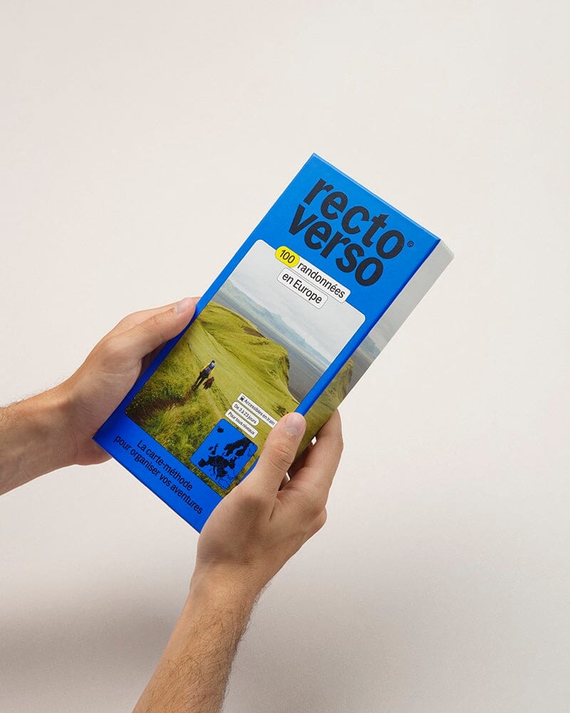
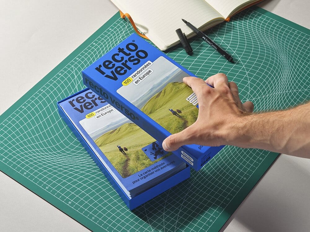
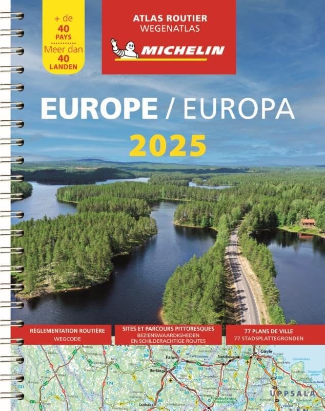
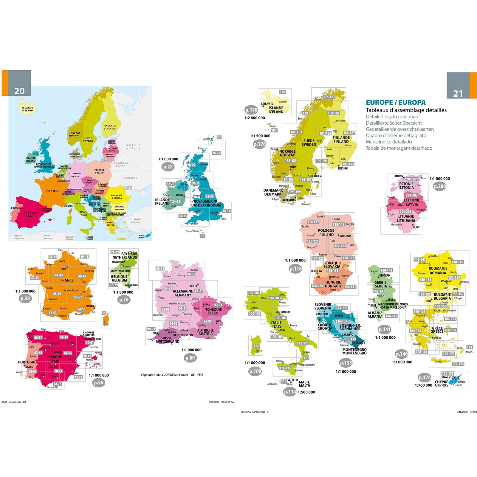
Hiking guide - Europe's High Points | Cicerone
- Shipping within 24 working hours from our warehouse in France
- Choisissez votre mode et vos frais de livraison à l’étape de paiement, avant de valider.
- Retours gratuits (*)
- Stocks en temps réel
Plus de 19 500 cartes 🗺️ et guides de voyage, cartes de randonnée, posters, globes, déco en stock !
La Compagnie des Cartes devient Cartovia ✨ Notée Excellent ⭐️ sur Trustpilot (9 000+ avis).
Livraison gratuite pour toute commande > 50 € (cartes pliées et guides, France métropolitaine)
Pocket Topoguide (English) of the Cicerone Editor Strong> Span> with detailed sheets to discover the peaks of Europe. Strong> p>
Description provided by the publisher:
A Guide to Reaching The Summit of Every Country in Europe - Driving, Walking and Climbing Routes to The Tops of 50 Countries in Europe. Detailed Route Descriptions, Sketch Maps - Advice On Transport, Seasons, Grading and Gear. From Afternoon Strolls in Malta to Three - Day Mountaineering Ascences on Classic Alpine Routes Such As Mont Blanc.
Difficulty: From Simple Sightseeing (EG Vatican City) to Serious Alpine Climbs (Mont Blanc) - All Routes Clearly Graded and Equipment Required Given
Must See: For The Authors, IT Was HvannaDalshnukur in Iceland But Each Reader Will Have Their Personal Favorite. Scafell Pike (England)? Mount Elbrus (Russia)? Rysy (Poland)? P>
ISBN/EAN : 9781852845773
Publication date: 2018
Folded dimensions: 15x21cm
Language(s): English
Weight:
491 g
L'infolettre exclusive des passionnés de voyage et de découverte !