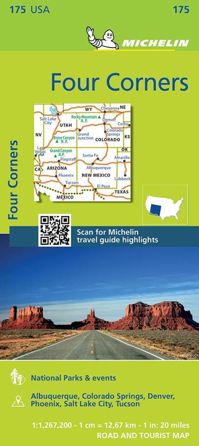
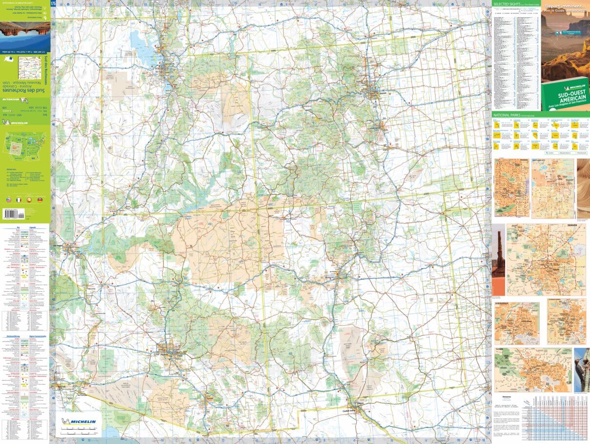
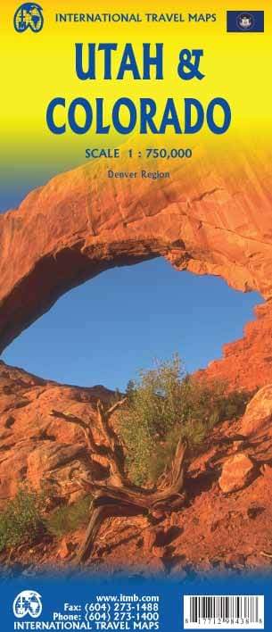
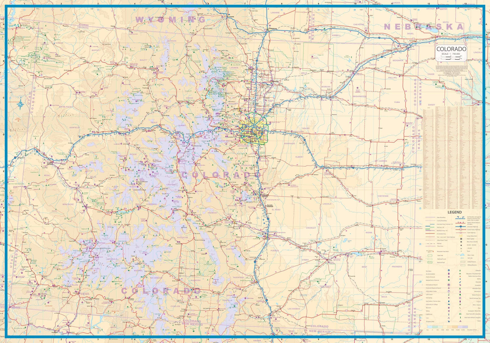
Colorado has the highest average elevation of all states in the United States. It houses 58 peaks of more than 14,000 feet, more than any other state of the United States, making it a popular place for hikers.
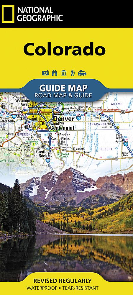
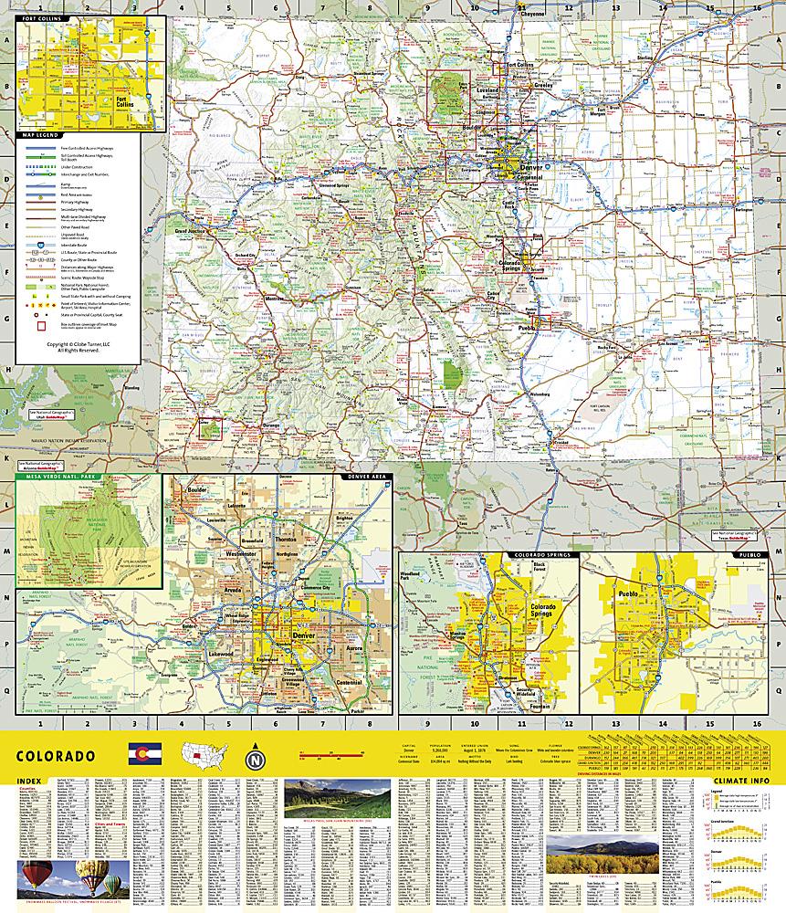
This topographic map is published by National Geographic. There are: Level curves, trekking paths, places of accommodation (campsites), bases of rangers.
Detailed waterproof and tearing resistant map.
ISBN/EAN : 9781566957557
Publication date: 2018
Scale: 1/63360 (1cm=633m)
Printed sides: both sides
Folded dimensions: 23.5 x 10.9cm
Language(s): English
Weight:
80 g


