Tourist Map No. 2 - San Pedro de Atacama (Chile) | Chiletur Copec

Price
Regular price CHF 1700
Regular price Sale price CHF 1700
/
  • Shipped within 24 to 48h from our warehouse in the USA
  • Customs duties may apply on import to your country
  • Free returns (*)
  • Real-time stock levels
  • Cartovia Guarantee – Delivery issue?
    We resend immediately upon receiving a simple photo.
  • In stock, ready to ship
  • Backordered, shipping soon
Tax included.

Frequently bought together:

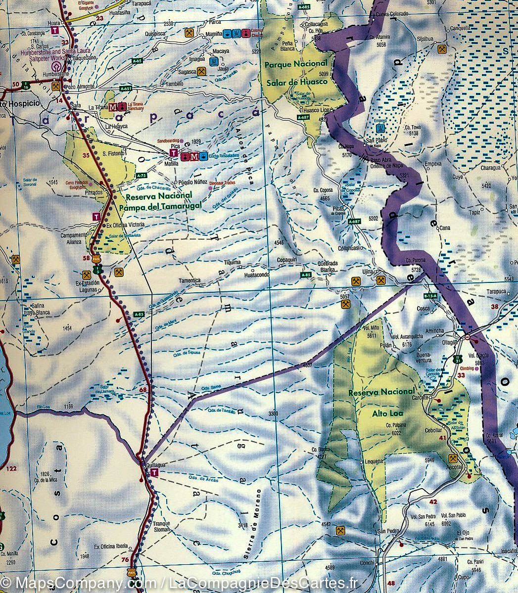
This San Pedro de Atacama and Antofagasta regional map, No. 2 in the Editorial Compass Chile series, is at a scale of 1:400,000, GPS-compatible, waterproof and tear-resistant.

It covers approximately 530 km from Calama to Caldera and uses a satellite-image base with shading and elevation colour coding.

  • Los Flamencos National Reserve
  • Llullaillaco, Pan de Azúcar and Nevado Tres Cruces national parks
  • Reserva Nacional de Fauna Andina Eduardo Avaroa in Bolivia
  • Paved roads, tracks and 4x4 routes
  • Border posts, fuel stations, tolls, police posts, railways and airports
  • Place index, distance table and latitude/longitude grid at 15’ intervals
  • UNESCO sites, beaches, hiking areas and hot springs

Printed on lightweight, waterproof and tear-resistant synthetic paper.


ISBN/EAN : 9789566403081
Publication date: 2025
Scale: 1/400,000 (1 cm = 4 km)
Folded dimensions: 9.45 x 3.94"
Unfolded dimensions: 100x70cm
Language(s): English Spanish
Weight: 113 g