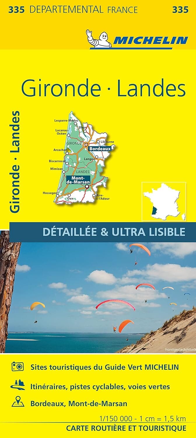
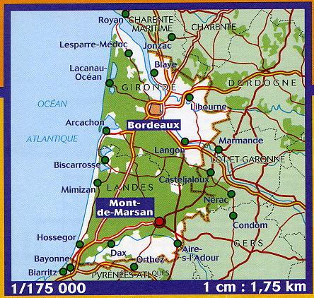
TOP 25 topographic map No. 1340ET of the Mimizan region published by IGN.
Hiking map with contour lines spaced 10 meters apart and detailed legend (vegetation, rocks, waterways, etc.).
Indication of hiking trails. Scale 1/25,000 (1 cm = 250 m).
Municipalities covered: Saint-Julien-en-Born, Pontenx-les-Forges, Sainte-Eulalie-en-Born, Aureilhan, Mézos, Bias, Saint-Paul-en-Bor, Mimizan
Places to discover: Aureilhan Pond, St-Julien-en-Born State Forest, Ste-Eulalie State Forest, Mimizan State Forest, Lit-et-Mixe State Forest, Former Ste-Marie Priory, St-Jean


