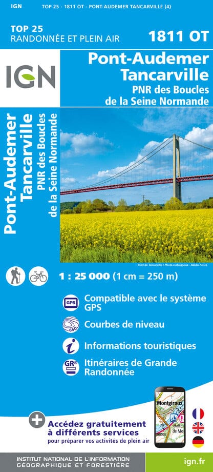
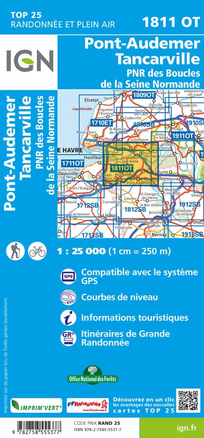
TOP 25 Map No. 1811 OT - Pont-Audemer, Tancarville & PNR of the Loops of the Seine Normande | IGN
Regular price
CHF 1400
Regular price
Sale price
CHF 1400
/
- Shipped within 24 to 48h from our warehouse in France
- Customs duties may apply on import to your country
- Free returns (*)
- Real-time stock levels
-
Cartovia Guarantee – Delivery issue?
We resend immediately upon receiving a simple photo.
- Low stock - 2 items left