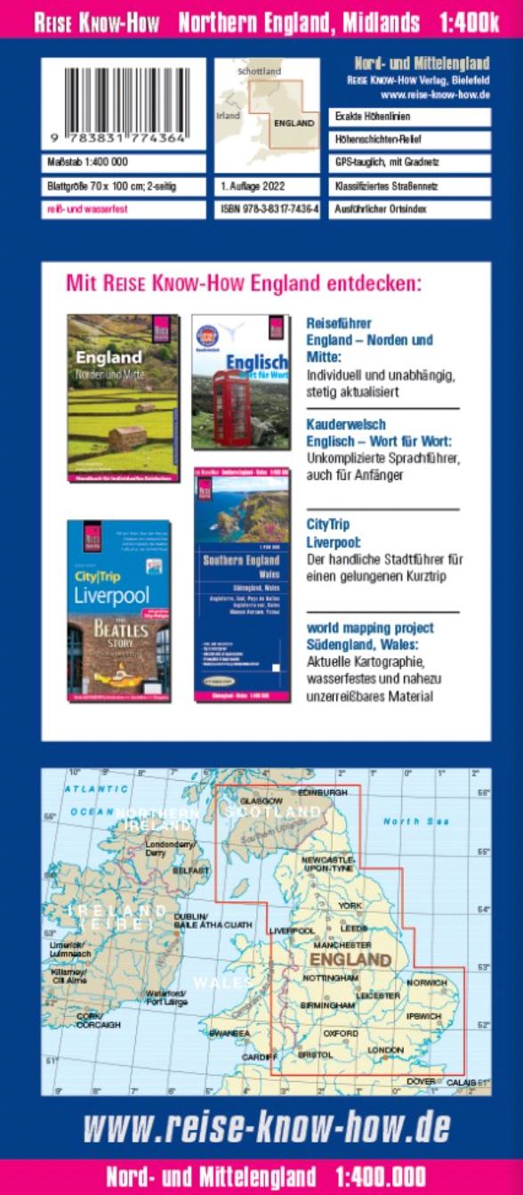
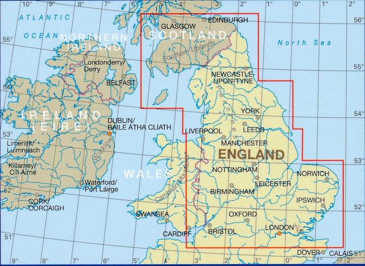
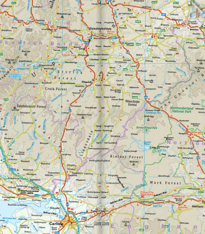
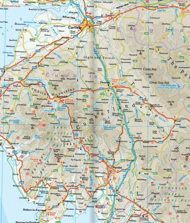
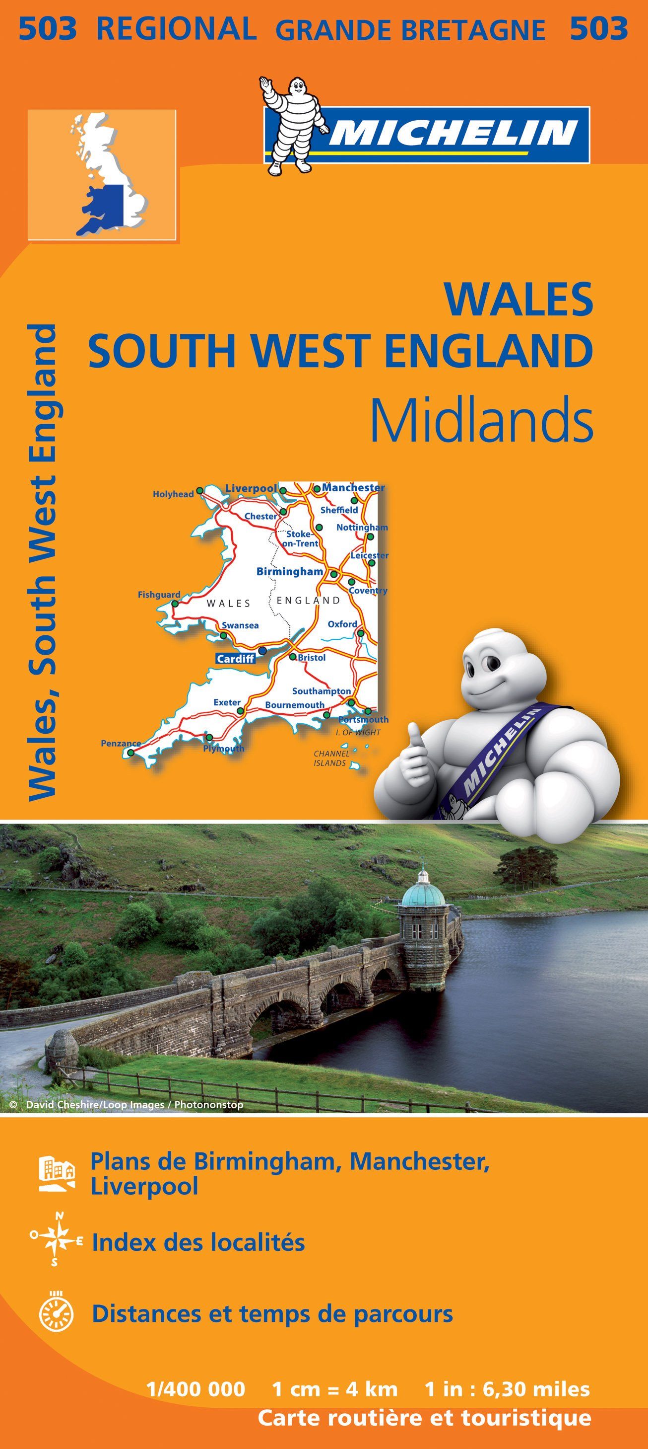
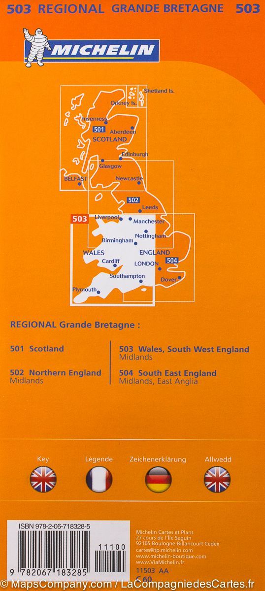
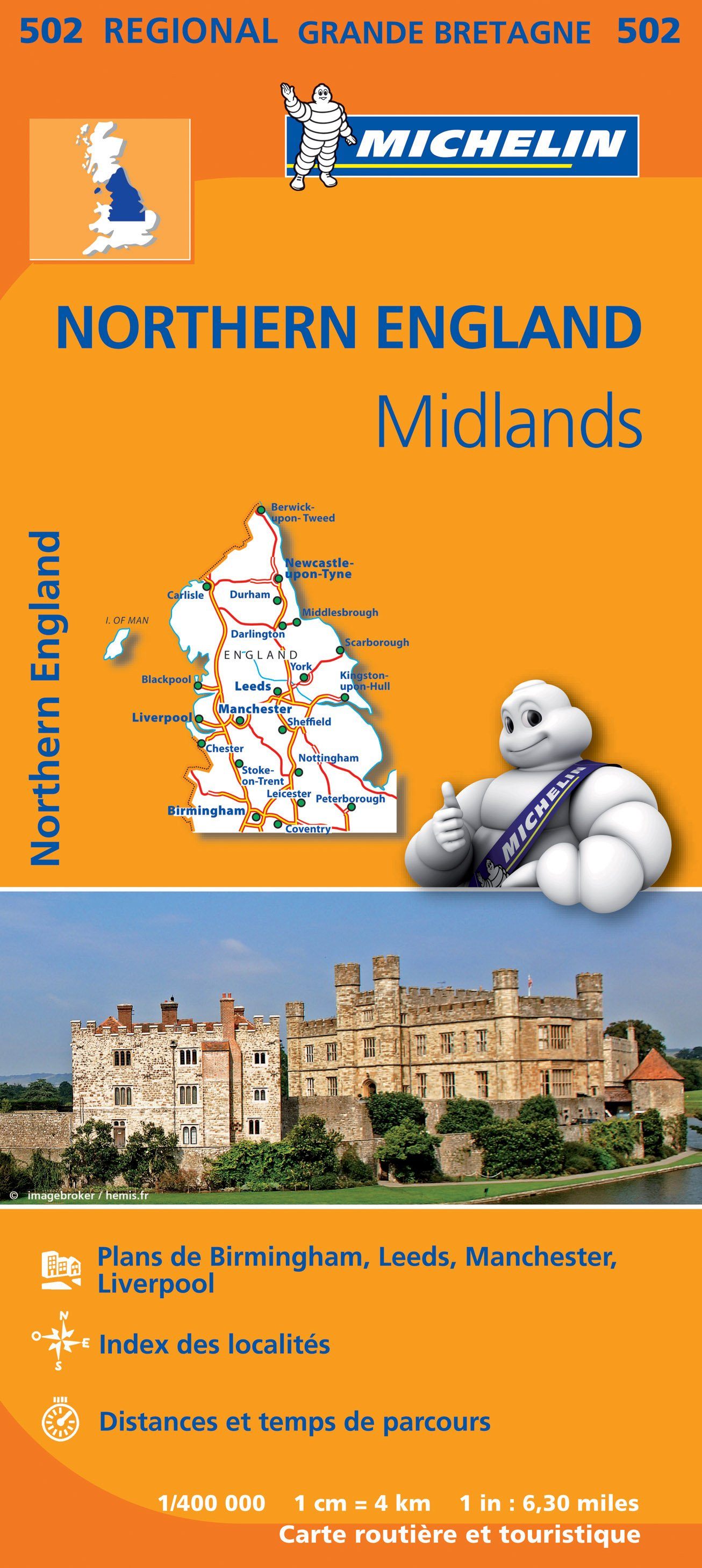
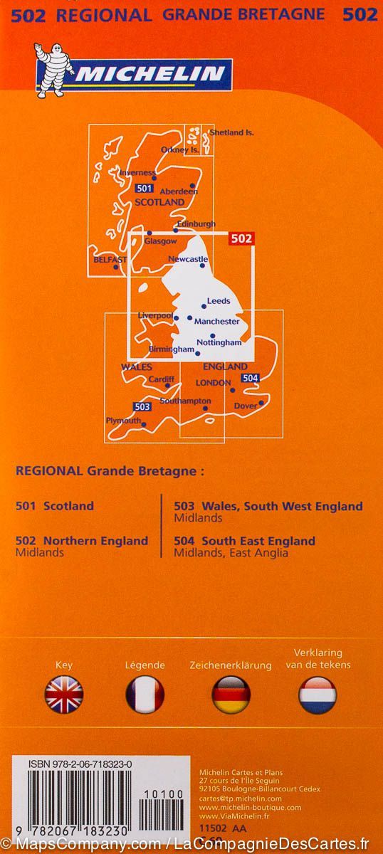
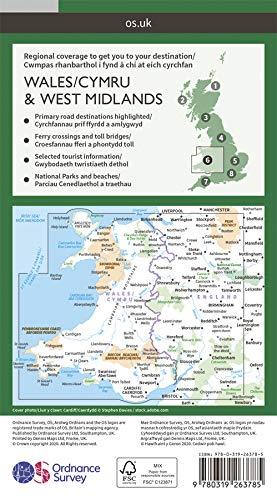
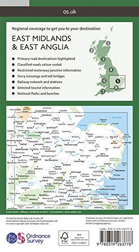
North Road map and the center of England published by Reise Know How. Relief mapping. Distances indicated in miles on the main and secondary axes. Indication of points of interest, national parks and protected areas, railway lines and maritime links.
Scale 1: 400,000 (1 cm = 4 km).
This detailed map of England is indich and waterproof.
ISBN/EAN : 9783831774364
Publication date: 2022
Scale: 1/400,000 (1cm=4km)
Printed sides: both sides
Folded dimensions: 26 x 11.5 x 0.8cm
Unfolded dimensions: 100x70cm
Language(s): French, German, English, Spanish, Russian
Weight:
78 g


