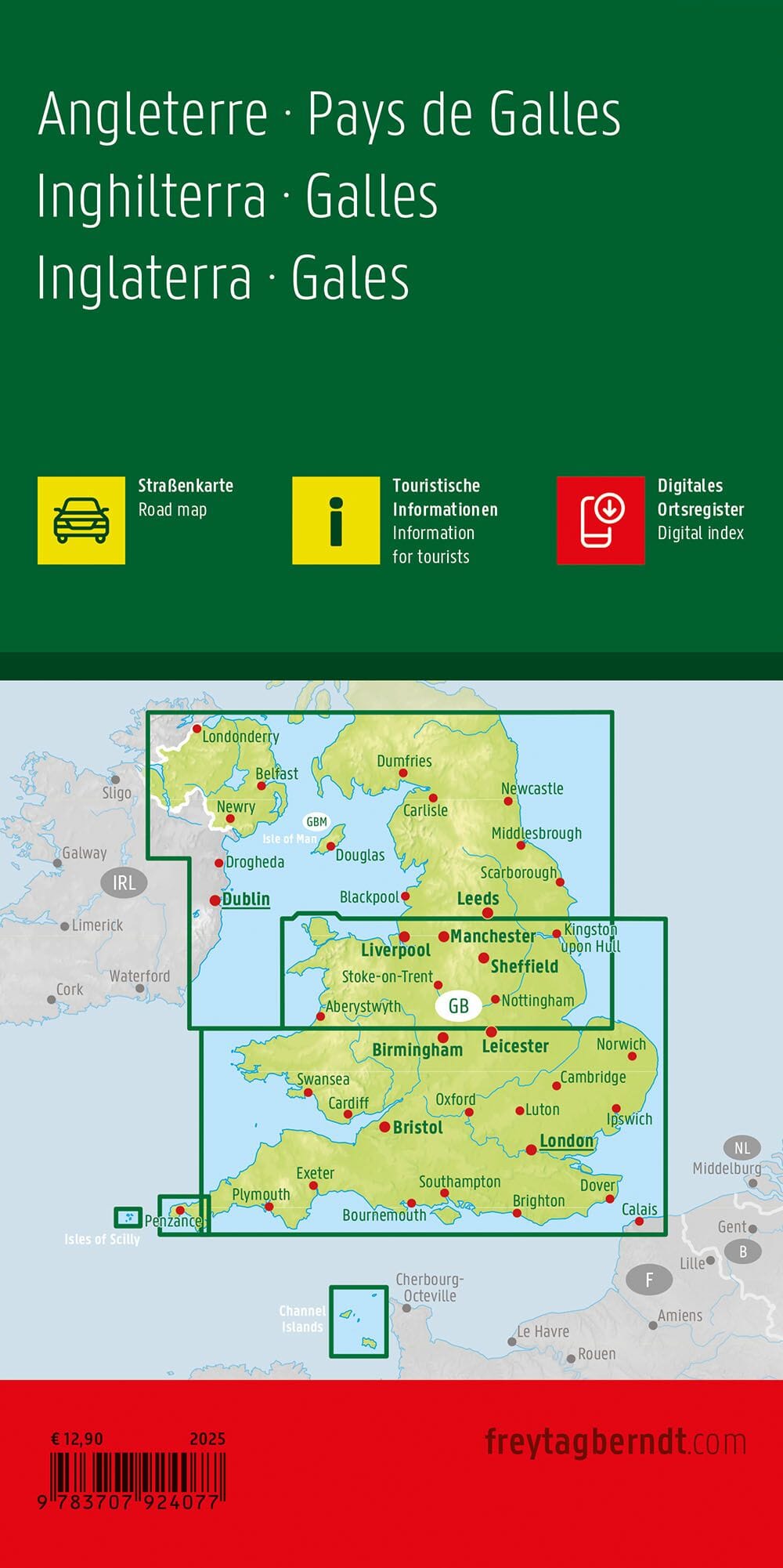
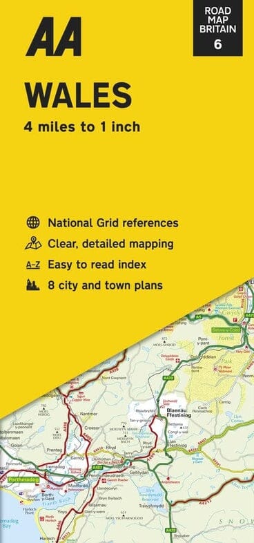
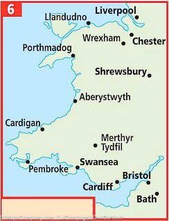
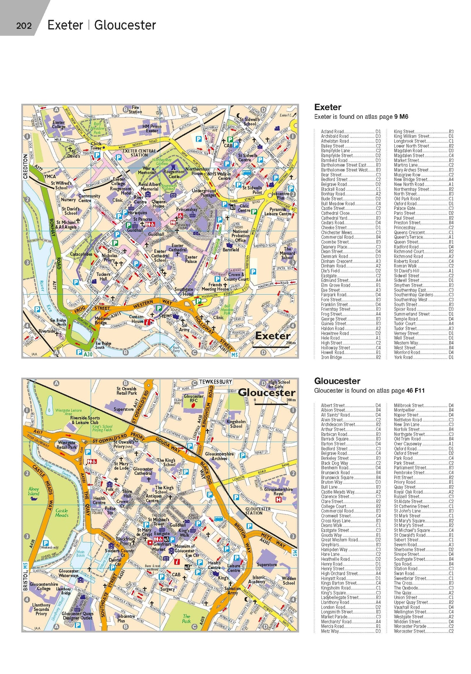
The perfect companion for your journey across Southern England and Wales—by car, motorcycle, bike, or on foot. Tear- and waterproof, this map is built for rugged outdoor use.
✔ Polyart® paper: durable, waterproof, writable with pencil or highlighter
✔ Classified road network with distance markers
✔ Key tourist attractions marked
✔ GPS-precise with UTM grid and latitude/longitude
✔ Complete index of towns and villages
✔ 5-language legend: EN, DE, FR, ES, RU
✔ Colored elevation layers and contour lines for easy reading
✔ Compact, foldable format with removable cover
Glare-free and weatherproof, this reliable map is perfect for flexible and independent travel.


