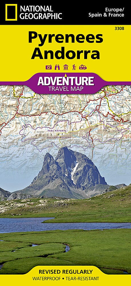
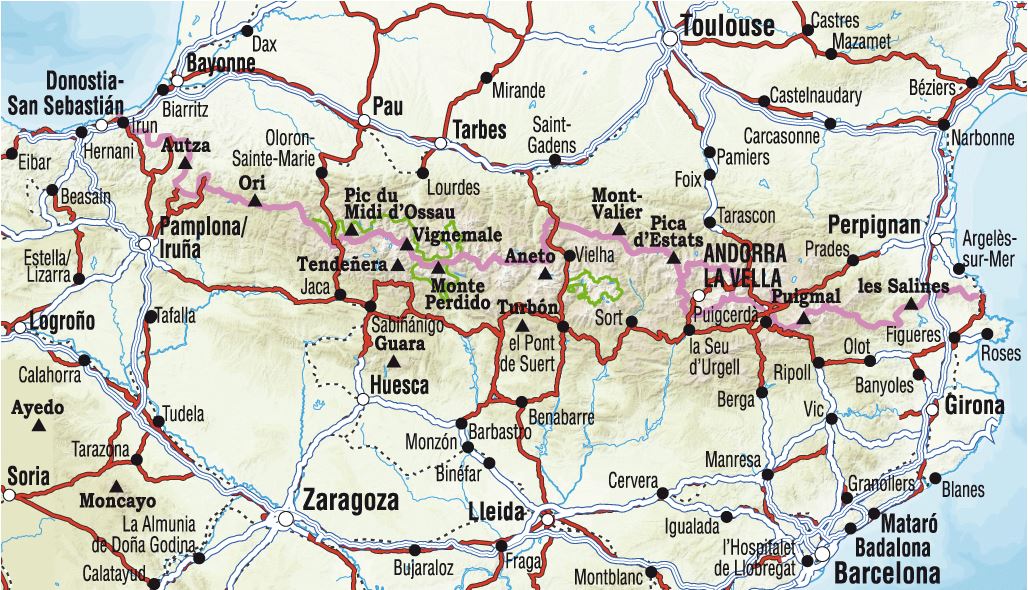
Travel map - Pyrenees & Andorra | National Geographic

Price
Regular price CHF 1600
Regular price Sale price CHF 1600
/
  • Shipping within 24 working hours from our warehouse in France
  • Choose your delivery method and cost at checkout, before confirming your order.
  • Free returns (*)
  • Real-time inventory
  • In stock, ready to ship
  • Backordered, shipping soon
Tax included.

Often purchased together:

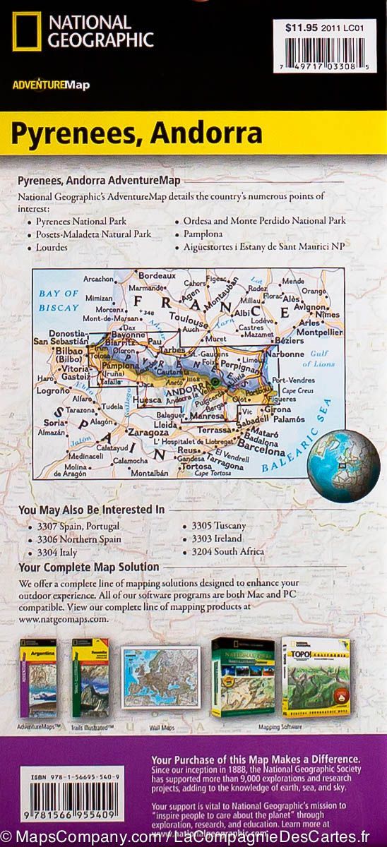
Highly detailed map of the Pyrenees (including Andorra) published by National Geographic. Tourist indications and national parks, relief mapping (with level curves), Detailed roads with distances and cities index included.

Detailed waterproof and tearing resistant.


ISBN/EAN : 9781566955409
Publication date: 2022
Scale: 1/275,000 (1cm=2.75km)
Printed sides: both sides
Folded dimensions: 23.5 x 10.7 x 0.8cm
Unfolded dimensions: 96 x 65cm
Language(s): English
Weight: 89 g