Carte murale (en anglais) - Grande Bretagne & Irlande (administrative) - 84 x 119 cm | Maps International carte murale roulée (en tube) Maps International

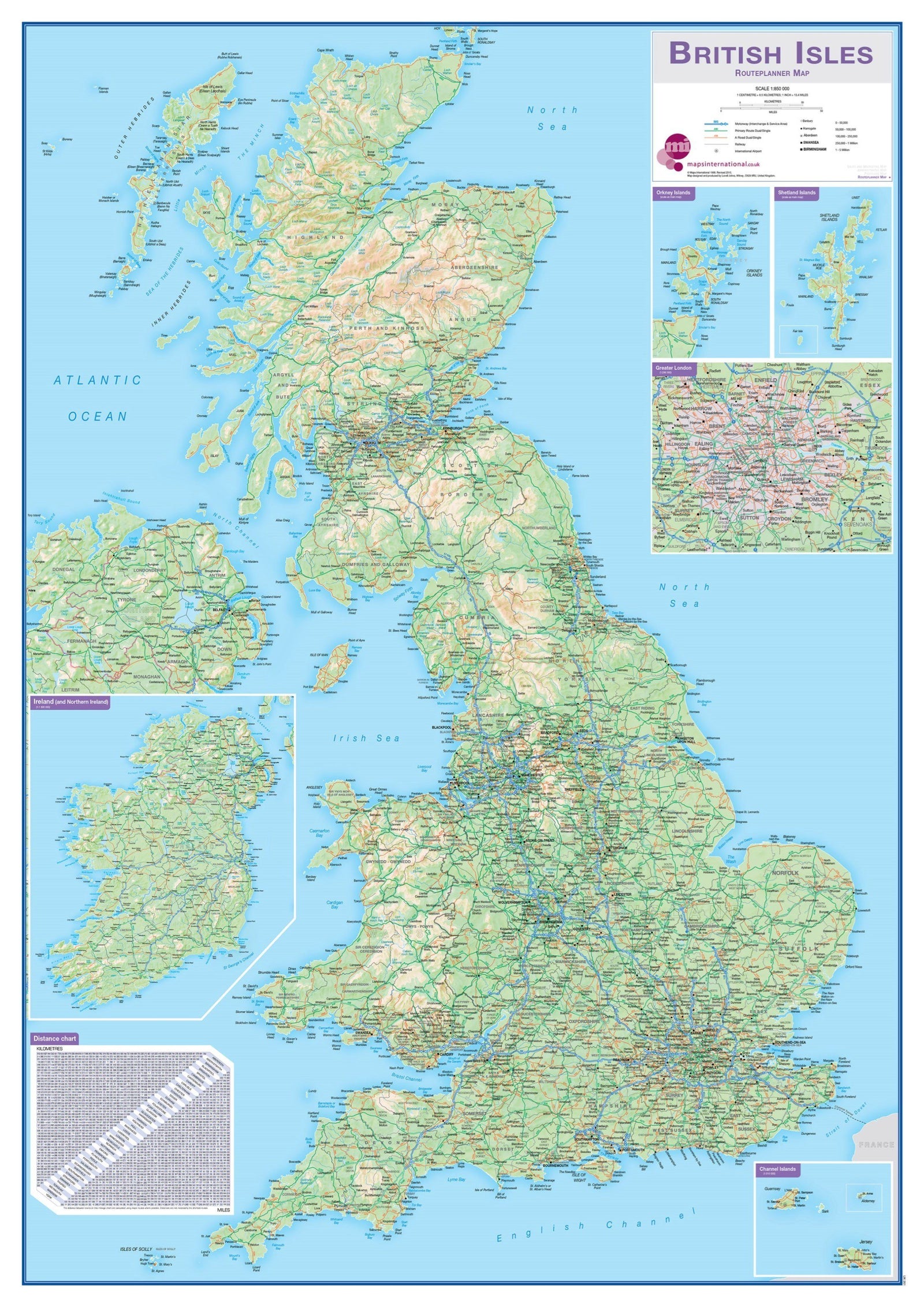
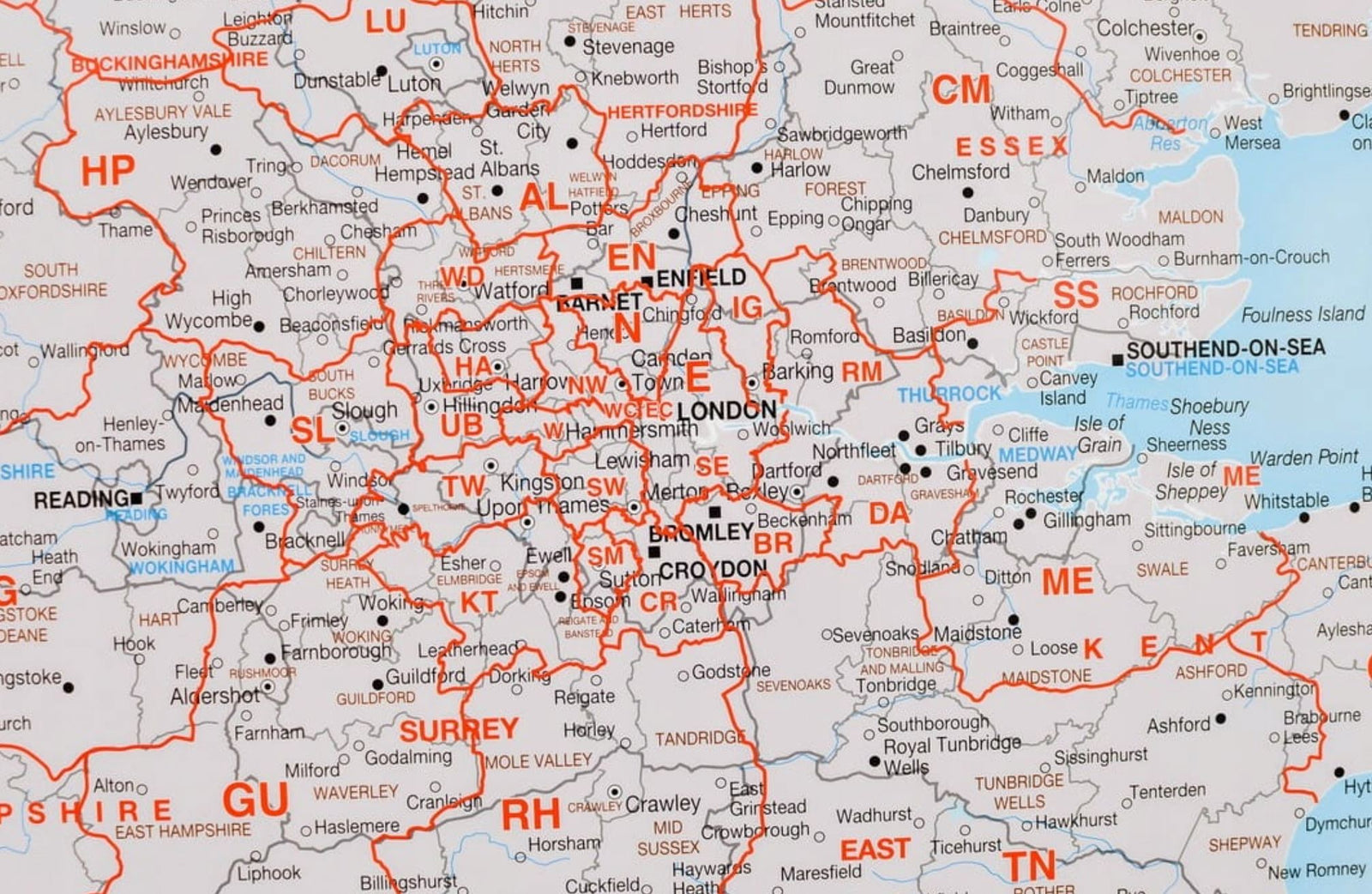
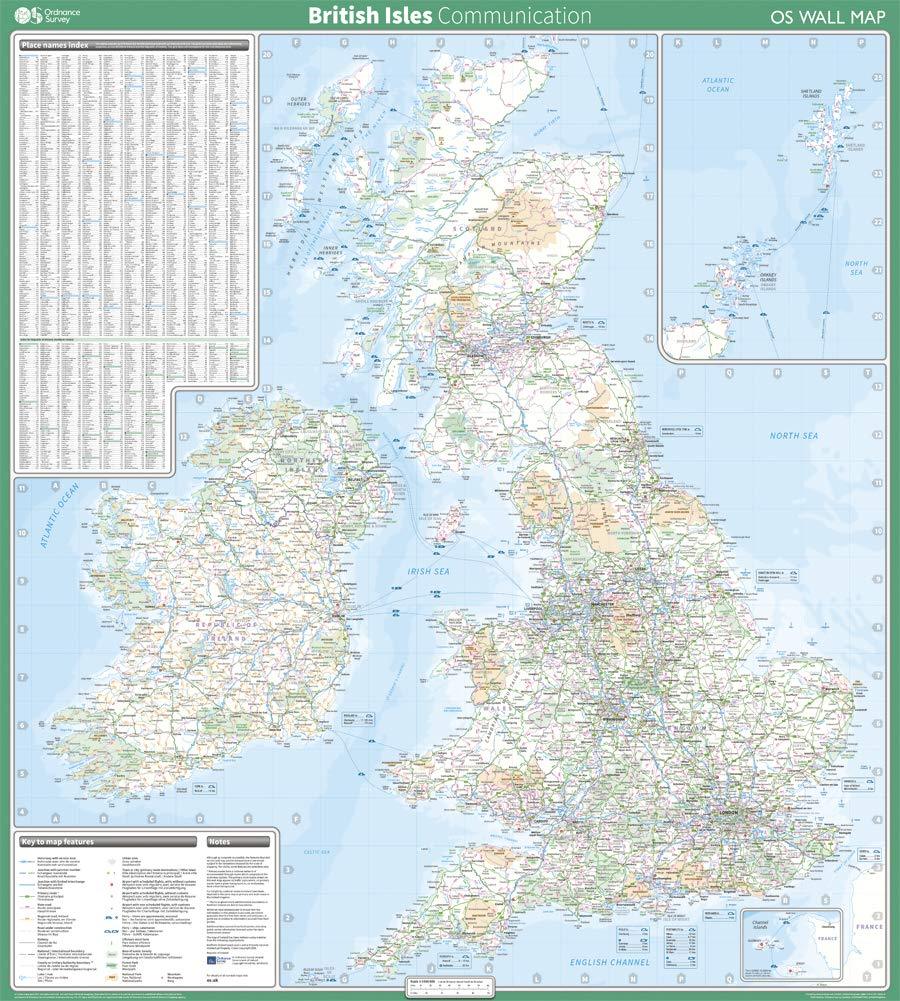
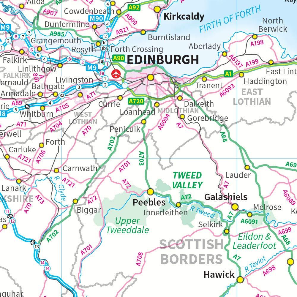
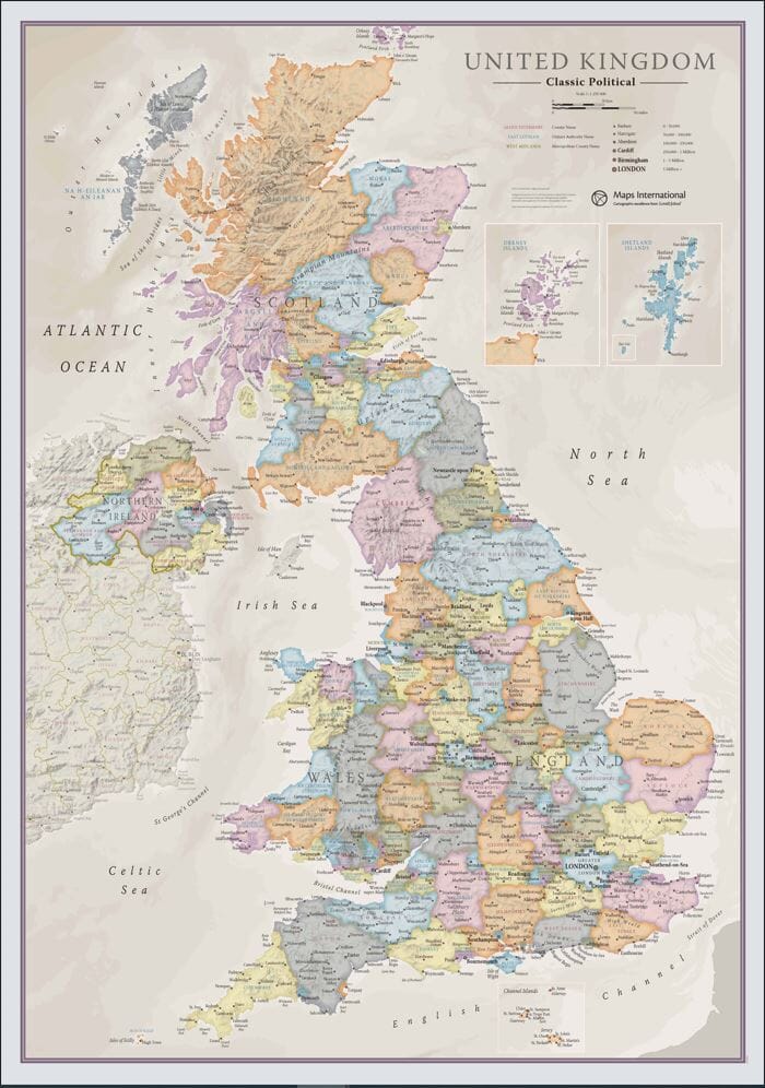
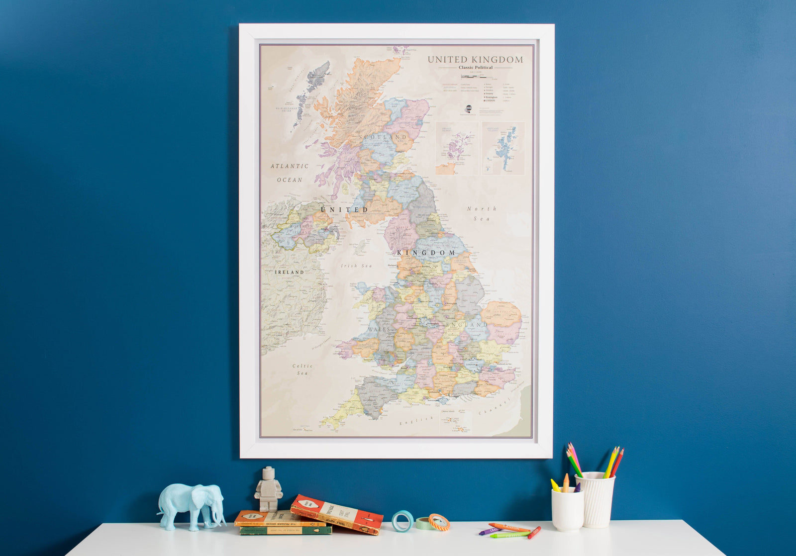
Wall map - Great Britain & Ireland (Administrative) - 84 x 119 cm | Maps International

Finishing
Price
Regular price CHF 5300
Regular price CHF 6400 Sale price CHF 5300
/
  • Shipped within 24 to 48h from our warehouse in France
  • Customs duties may apply on import to your country
  • Real-time inventory
  • Cartovia Guarantee – Delivery issue?
    We resend immediately upon receiving a simple photo.
  • Low stock - 2 items left
  • Backordered, shipping soon
Tax included.

Often purchased together:

Administrative Wall map of Great Britain and Ireland (in English).

Displays counties of different colors. The boroughs and districts are also indicated on this map as well as towns and villages. Contains a small map of the British Islands Postal Code zones as well as details about the population.
84 x 119 cm .

Customer Reviews

Based on 1 review
100%
(1)
0%
(0)
0%
(0)
0%
(0)
0%
(0)
H
Hélène D. (Mesvres, FR)
Carte GB

Une très belle carte, d'une dimension tout à fait convenable pour élaborer des cours et montrer aux élèves. Les couleurs sont belles et séparent bien les différentes entités administratives présentes.