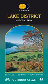
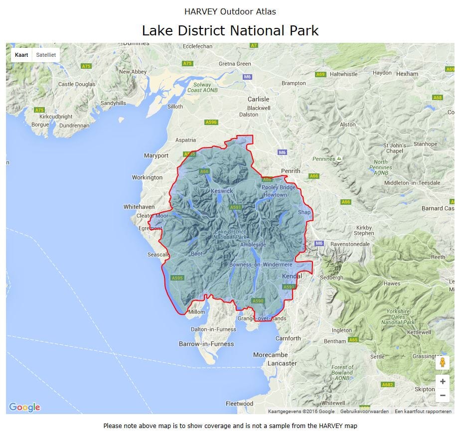
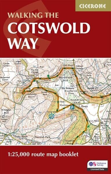
Carte de randonnée éditée par Harvey Maps idéale pour découvrir les sentiers nationaux de Grande Bretagne.
Description originale de l'éditeur :
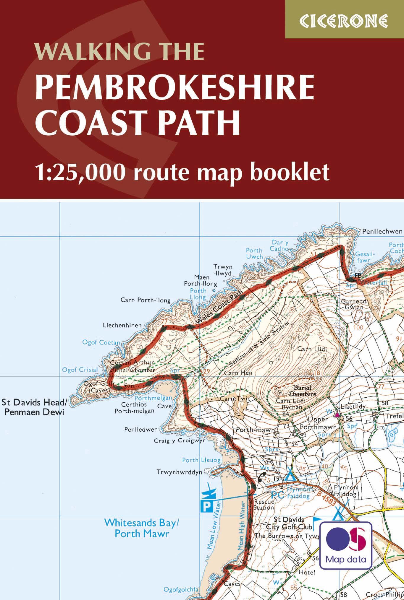
The Wales Coast Path is a 1400km (870 miles) long distance trail that follows, or runs close to, the entire coastline of Wales. It is an incredibly varied trail that offers rugged and unspoilt walking, colourful seaside villages, industrial archaeology, clifftops, beaches and unique heritage sites.
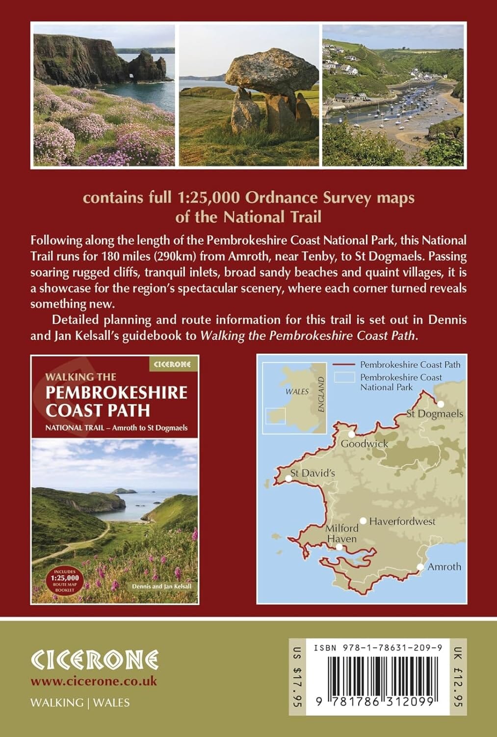
Map 3 covers the Path from Cardigan to Llanelli, and includes the whole of the Pembrokeshire Coast Path National Trail (St Dogmaels to Amroth).
The Pembrokeshire Coast Path remains a National Trail in its own right, and this map covers the entirety of this route as well as the Wales Coast Path further east to Llanelli. You will walk through some of the most beautiful parts of Wales, encountering stunning clifftop scenery, sandy beaches and rugged coastline.ed


