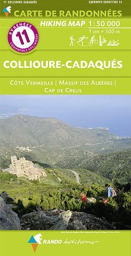
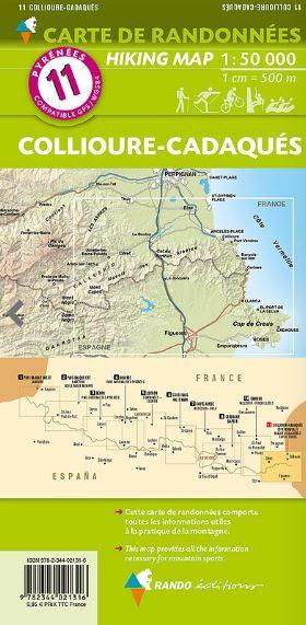
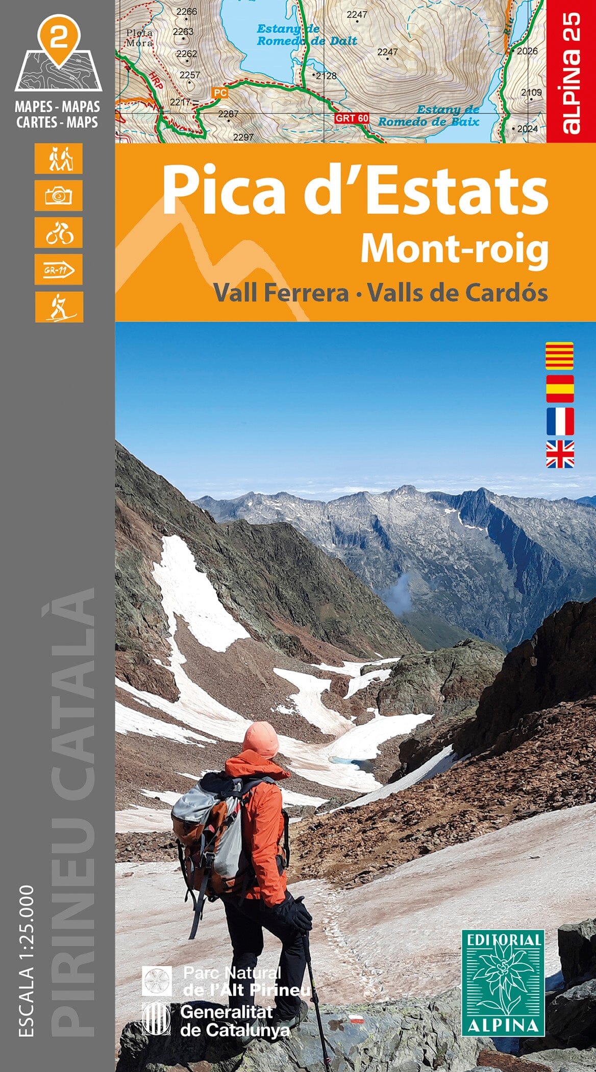
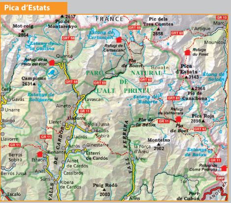
Set of 2 detailed topographic maps of the Valley of Llémena, Serra de Winestres, Muntanya Rocacorba.
Area covered: Llémena Valley. Catalan Transversal Mountain Range (Gironès, Garrotxa and Pla de l'Estany).
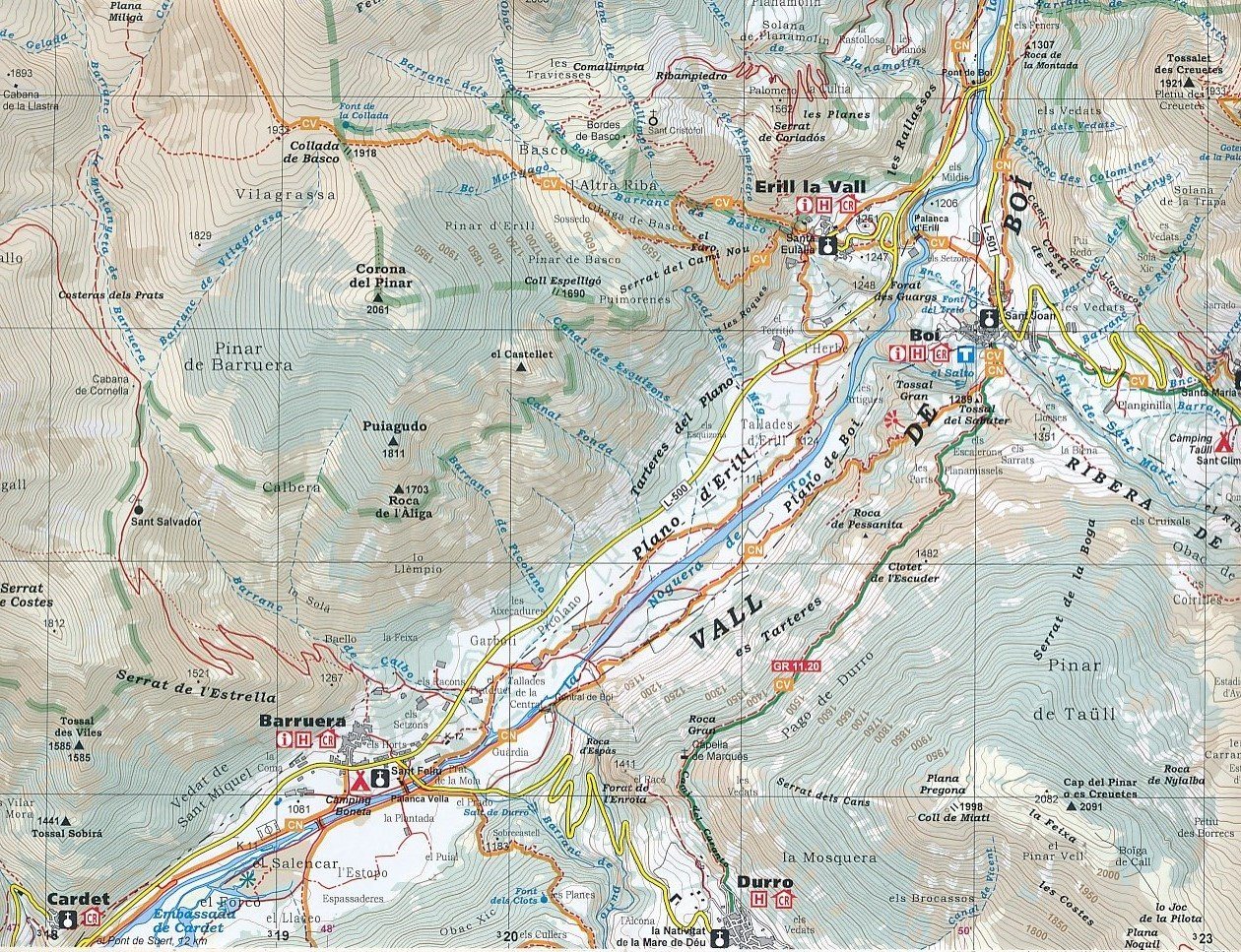
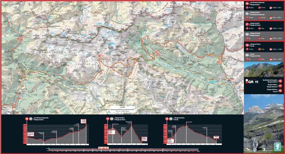
Map features: three topographic maps at scale 1/25,000 (Llémena Valley) and 1/15,000 (Rocacorba and Serra de Winestres).
Information of interest for hikers: marked trails (PR's, GR's, Itinerànnia trail network), trails, elements of natural and ethnological interest...
The foldable flap includes:
• Must-miss sites
• Hiking
• General information


