Set of 2 hiking maps - Sierra and Canyons of Guara (Aragon, Spain) | Editorial Alpina

Price
Regular price CHF 1600
Regular price Sale price CHF 1600
/
  • Shipping within 24 working hours from our warehouse in France
  • Choose your delivery method and cost at checkout, before confirming your order.
  • Free returns (*)
  • Real-time inventory
  • In stock, ready to ship
  • Backordered, shipping soon
Tax included.

Often purchased together:

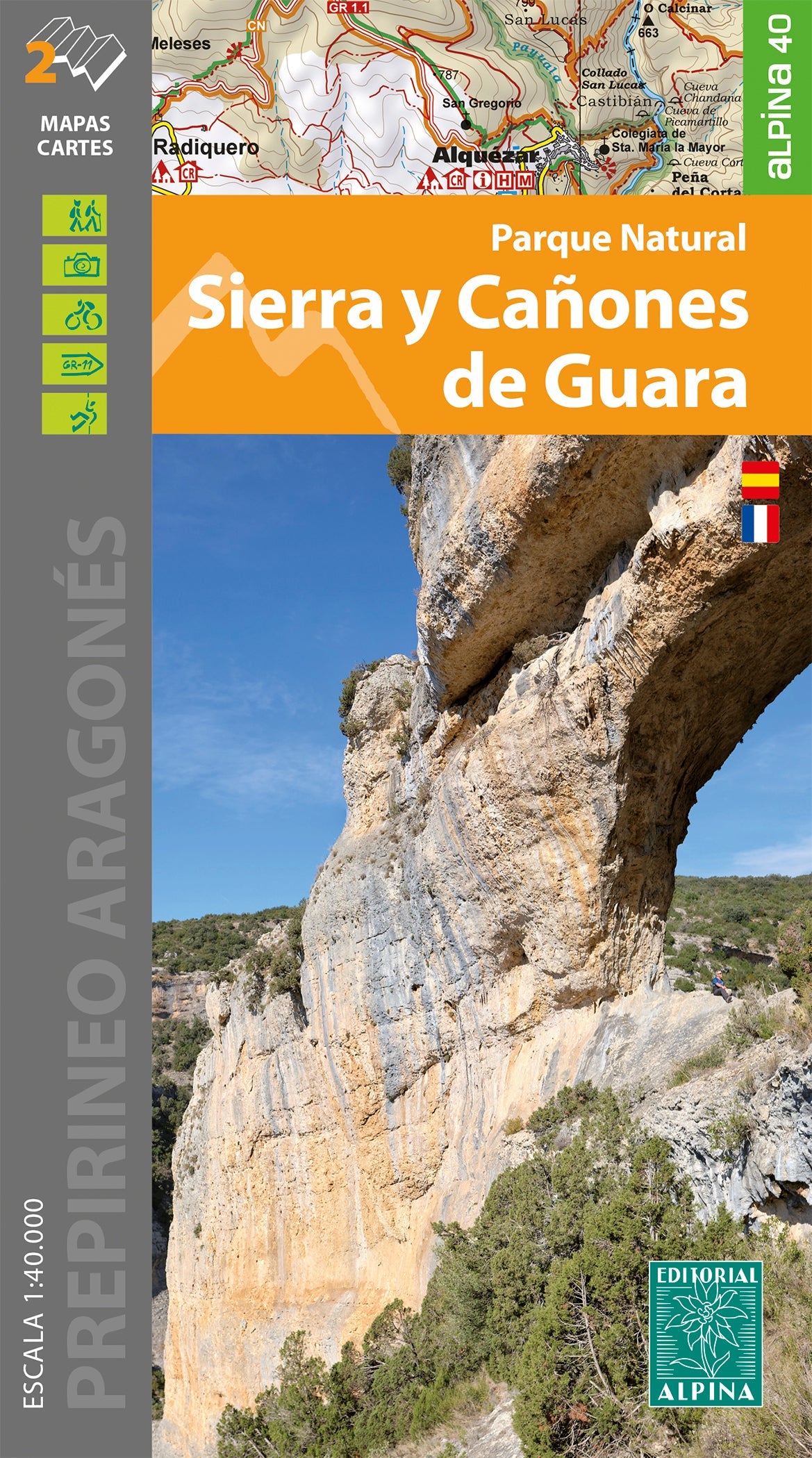
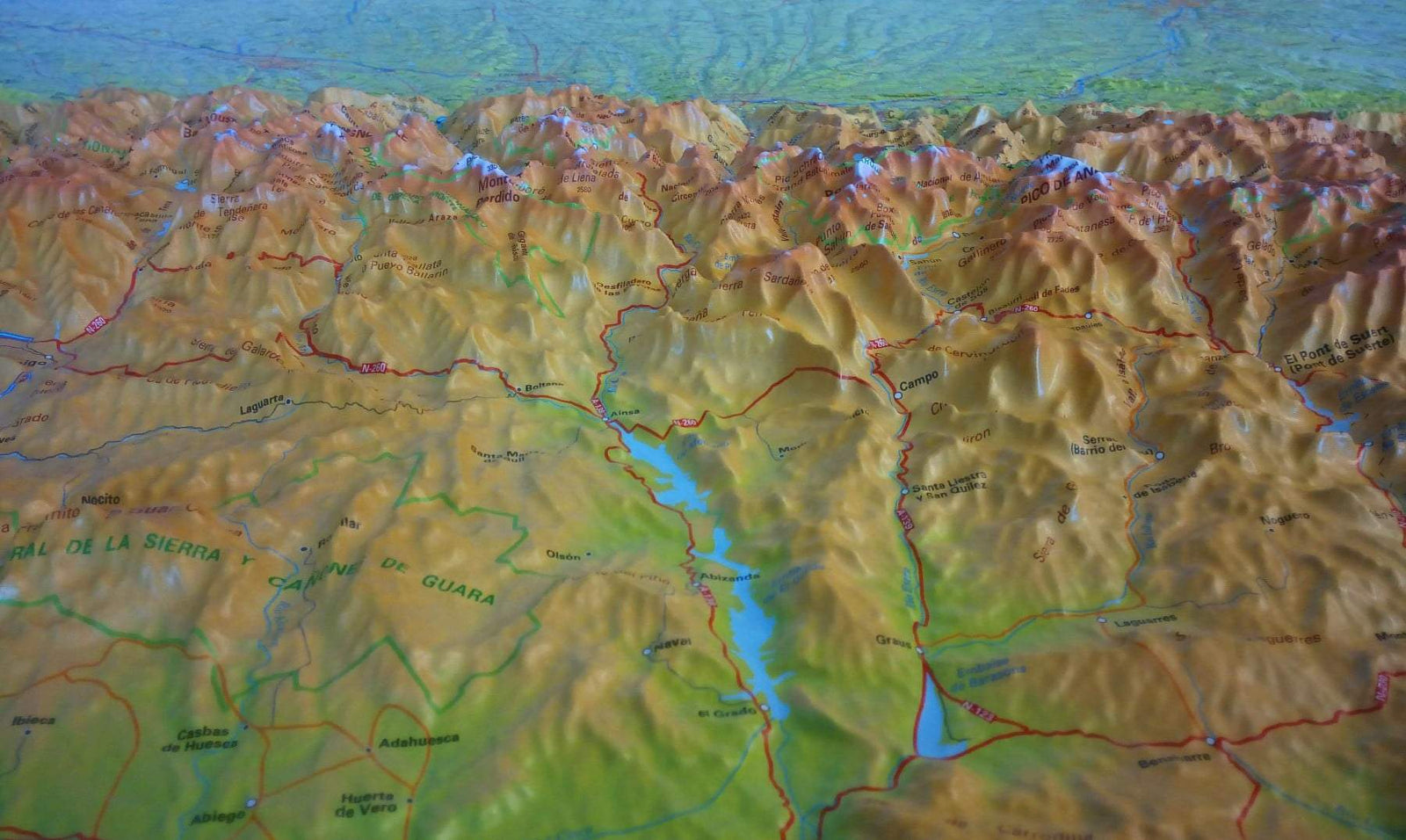
Set of 2 topographic maps of the Sierra and canyons of Guara (Aragon) at a scale of 1/40,000 (1 cm = 400 m).

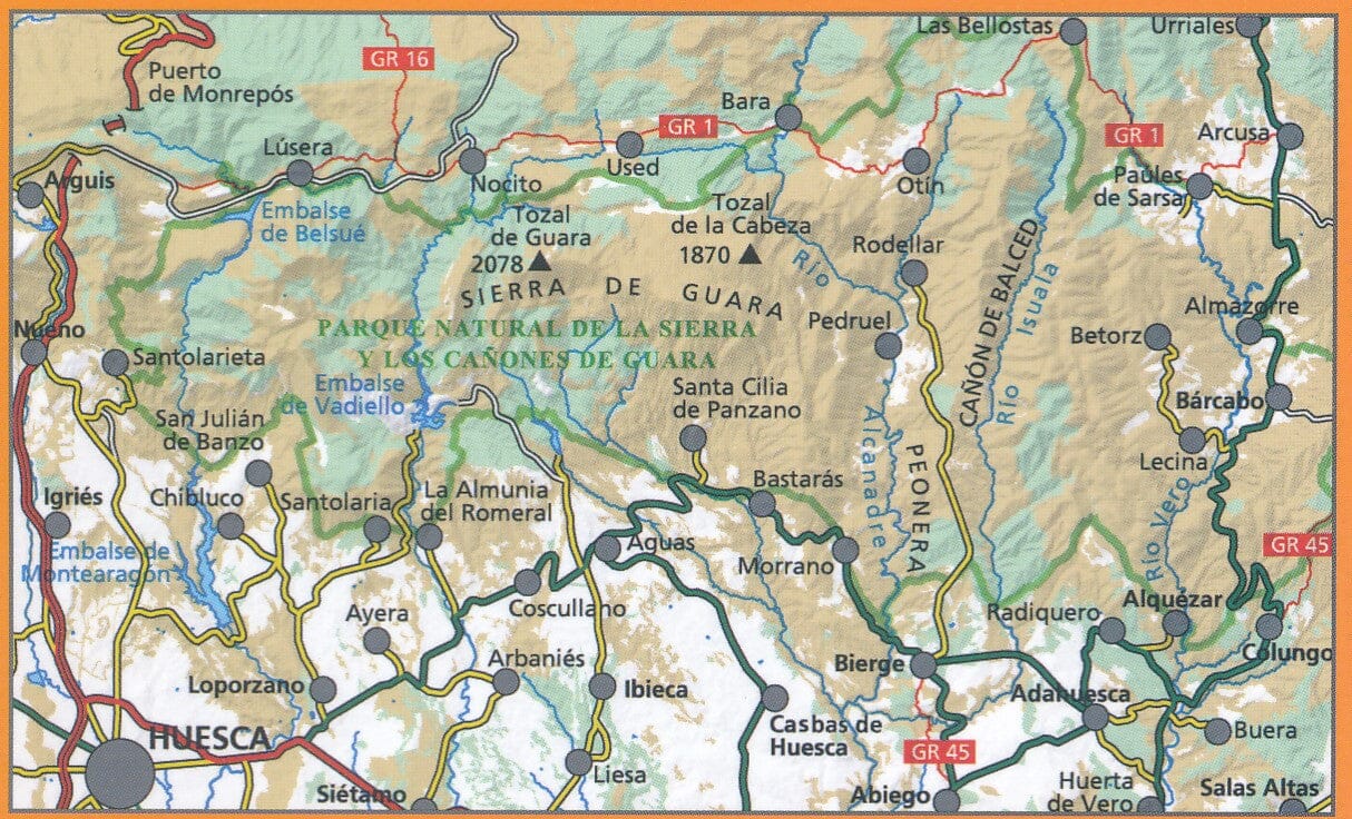
Map sector: Aragonese Pre-Pyrenees. Sierra de Guara. Regions of Alto Gállego, Hoya de Huesca, Sobrarbe and Somontano de Barbastro.

Information of interest to hikers: marked trails (GR's, PR's and SL), natural park routes, climbs, main ravines, etc.

Elements of natural interest: mills, archaeological remains, historical trails, fountains, caves etc.

The cards are delivered in a folder including:

• Top 12: points of interest
• Park routes
• Coordinates of the ravines
• Information about the natural park


ISBN/EAN : 9788480909280
Publication date: 2022
Scale: 1/40,000 (1cm=400m)
Printed sides: front
Folded dimensions: 21 x 12.5 x 1cm
Unfolded dimensions: 120 x 68cm
Language(s): French Spanish
Weight: 218 g