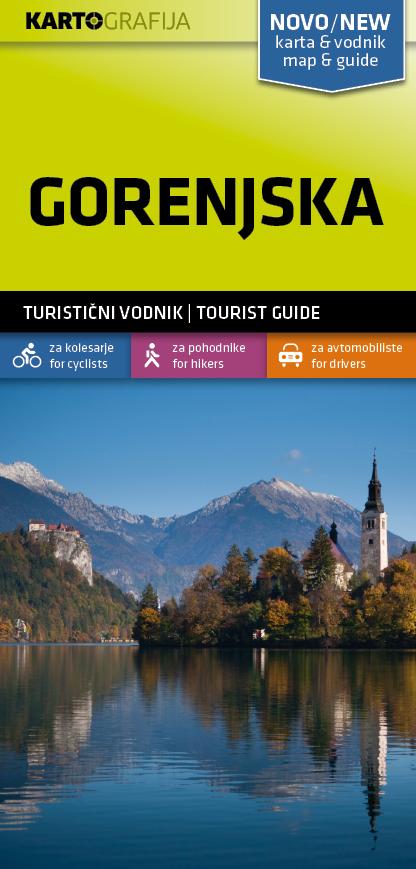
Hiking map - Gorenjska (Slovenia) | Kartografija

Price
Regular price CHF 1500
Regular price Sale price CHF 1500
/
  • Shipped within 24 to 48h from our warehouse in France
  • Customs duties may apply on import to your country
  • Free returns (*)
  • Real-time stock levels
  • Cartovia Guarantee – Delivery issue?
    We resend immediately upon receiving a simple photo.
  • In stock, ready to ship
  • Backordered, shipping soon
Tax included.

Frequently bought together:

This tourist and excursion map of the Gorenjska region at 1:40,000 covers the area from the Soča Valley through the Julian Alps and central Gorenjska to the Kokra Valley, with Kranj to the south and the Karavanke to the north.

The map combines broad coverage with detailed tourist information, including rural tourism, museums, sports facilities, ski slopes and sightseeing, as well as hiking trails and cycle paths.

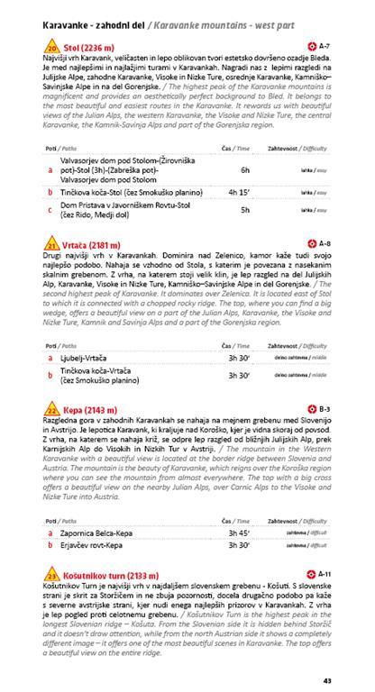
The accompanying guide provides general information about places and their tourist attractions, selected hiking trails and cycle rides, with graphic representations of distance and elevation changes.

The 64-page travel guide is bilingual, in Slovenian and English.


ISBN/EAN : 3830048522502
Publication date: 2021
Scale: 1/40,000 (1 cm = 400 m)
Printed sides: both sides
Folded dimensions: 11 x 23cm
Language(s): English, Slovenian
Weight: 80 g