The Vindelfjällen mountain map – scale 1:100,000 , published by Calazo – is designed to provide a reliable and accurate overview of the vast mountain ranges of northern Sweden . Maps at this scale have long been the standard for the entire Scandinavian mountain range; this map replicates the appearance and content of traditional mountain maps formerly produced by the Swedish cartographic administration.
At a scale of 1:100,000 , the map covers large areas and provides a comprehensive overview of mountain ranges, valleys, and plateaus. It is particularly recommended for multi-day hikes , long-distance treks , or travel over wide areas, especially by snowmobile . For those seeking greater detail, Calazo also offers mountain maps at a scale of 1:50,000 .
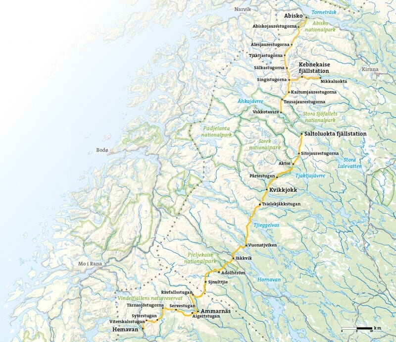
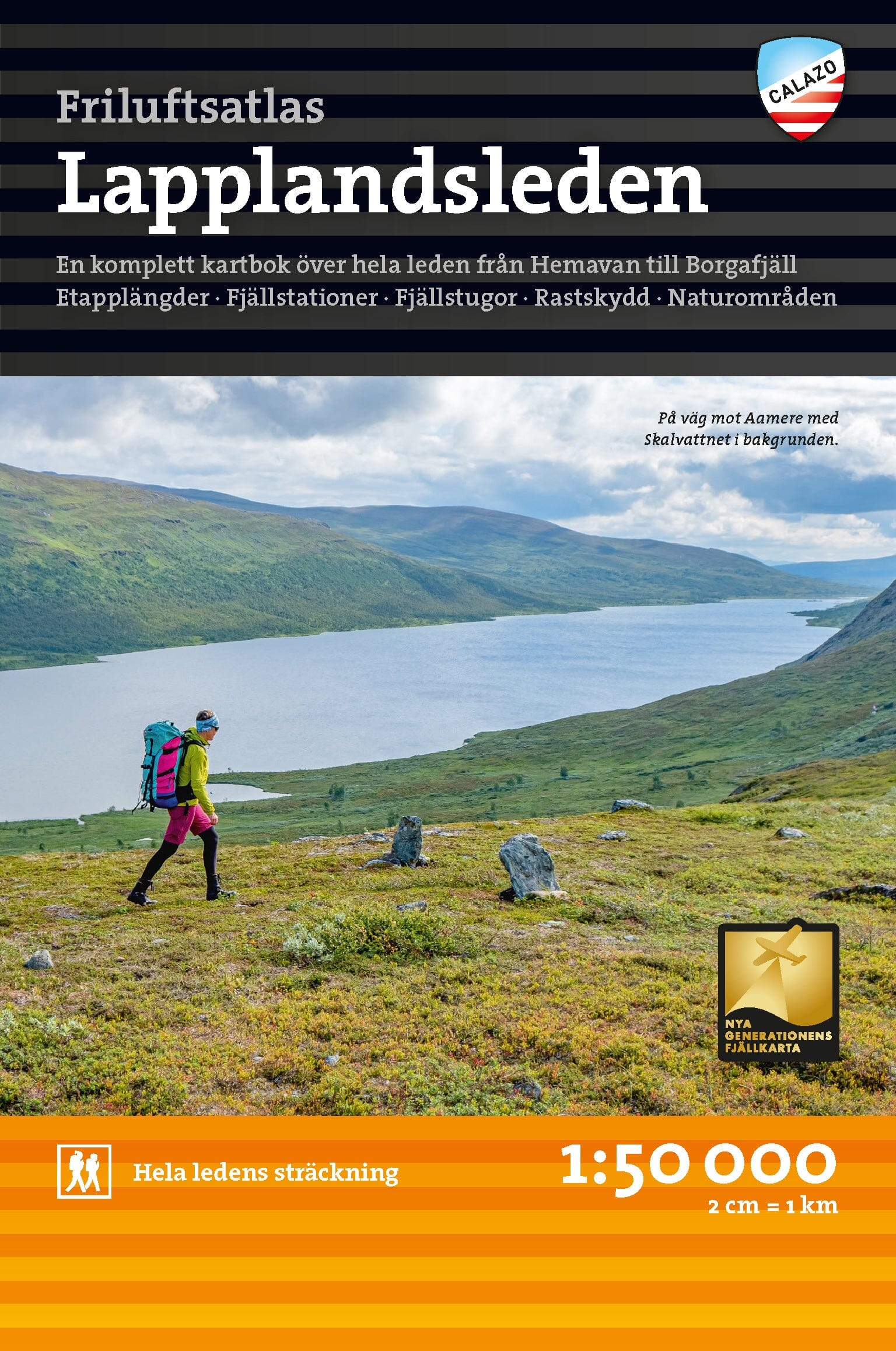
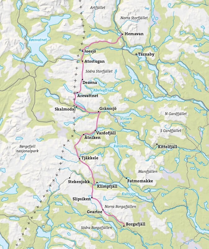
This map is ideal for exploring the wild and unspoiled nature of Vindelfjällen , from Artfjället and Hemavan in the south, along the Norwegian border , to Mávas and Junkerdal National Park in the north. It also covers the famous Kungsleden trail, on the section between Hemavan and Adolfsström , an iconic route for Nordic hikers.
Printed on Tyvek® paper , this map is completely waterproof and extremely tear-resistant . This synthetic material guarantees excellent durability: the map won't tear at the folds or fade, even after intensive use in harsh conditions. It's the perfect tool for hiking in mountainous and subarctic environments .