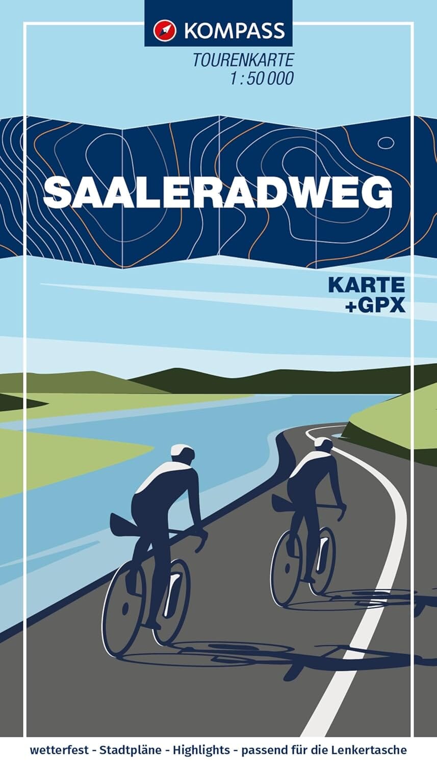
Kompass | Leporello format | Scale 1:50,000 | Waterproof and resistant
The Kompass Saaleradweg cycle map shows the entire length of this 420 km long-distance cycle route, from Münchberg (Fichtelgebirge) to Schönebeck, where the Saale joins the Elbe. Thanks to its Leporello (accordion) format, the map is easy to handle, fits in a handlebar bag and offers a continuous view of the route .
It is printed on tear-proof and waterproof paper, perfectly suited to the most demanding weather conditions (rain, snow, hail). It includes the altimetric profile, accommodation suggestions, tourist points of interest and everything you need to know about the region crossed .
About the route:
The Saaleradweg is one of the most scenic cycle routes in Germany . Over approximately 420 km, it descends gradually from its source in the Fichtelgebirge to its confluence with the Elbe, with a few isolated climbs. The route follows the meandering Saale River on well-maintained trails and passes through varied landscapes: floodplains, terraced vineyards, deep forests, majestic castles and medieval towns.
Cyclists can enjoy the cultural and natural richness of the route, passing through cities such as Hof, Jena, Naumburg (with its famous cathedral), and Halle. The Saaleradweg is ideal for a multi-day cycling tour, combining nature, heritage, and relaxation.