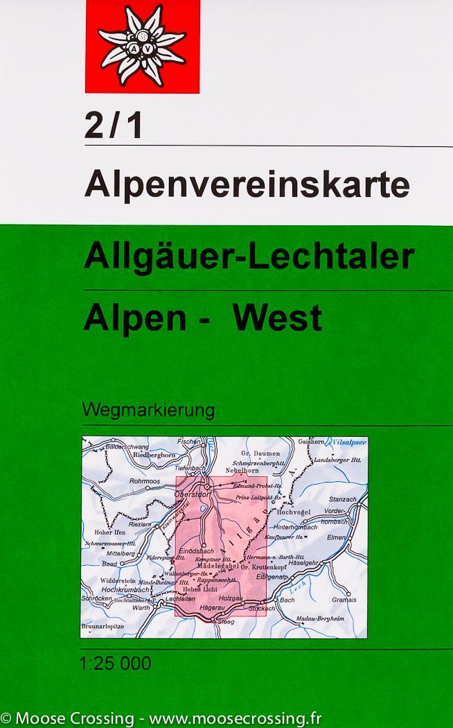
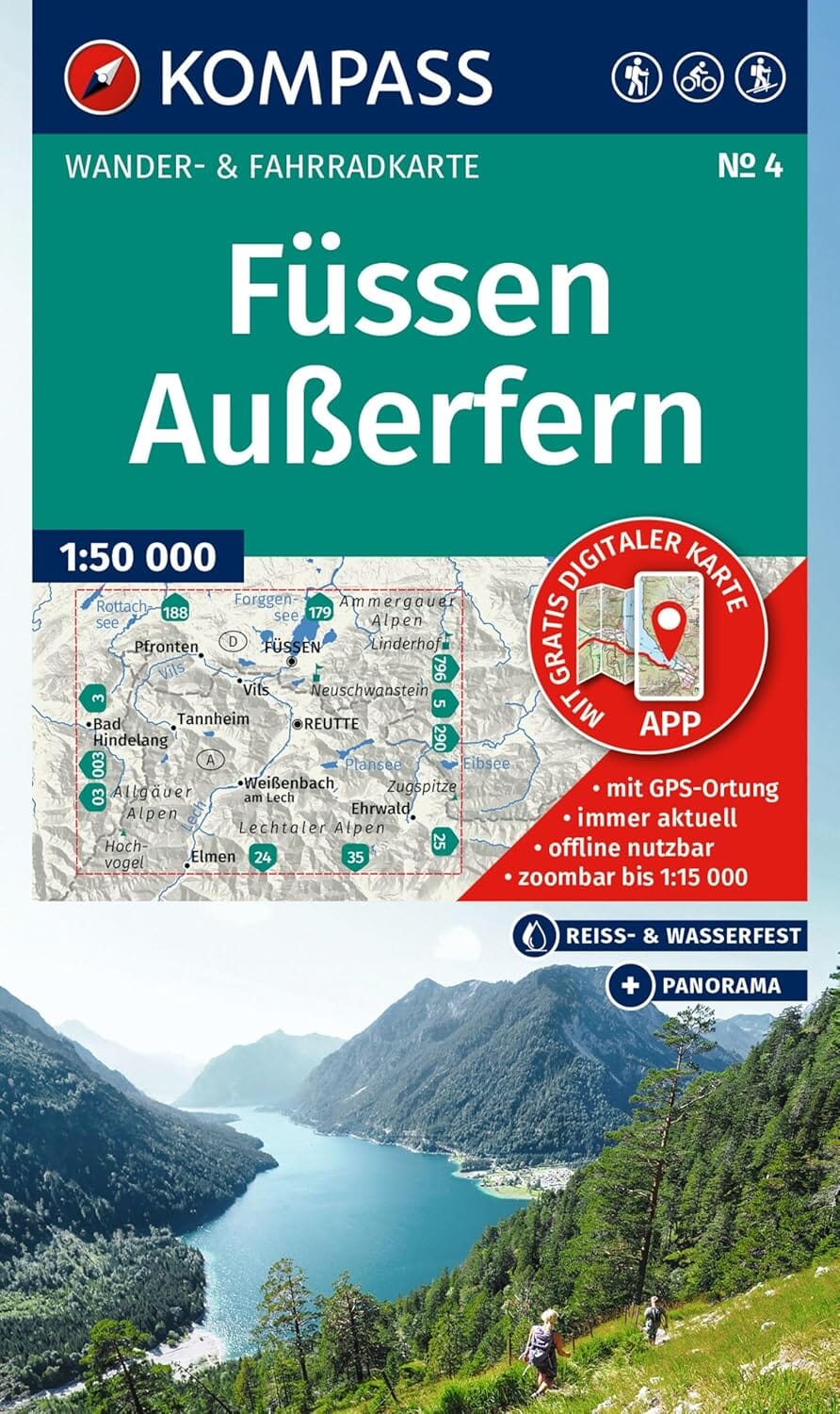
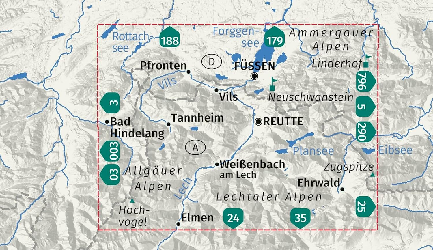
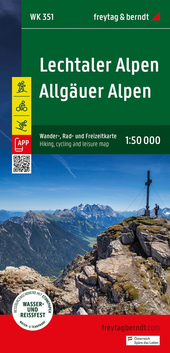
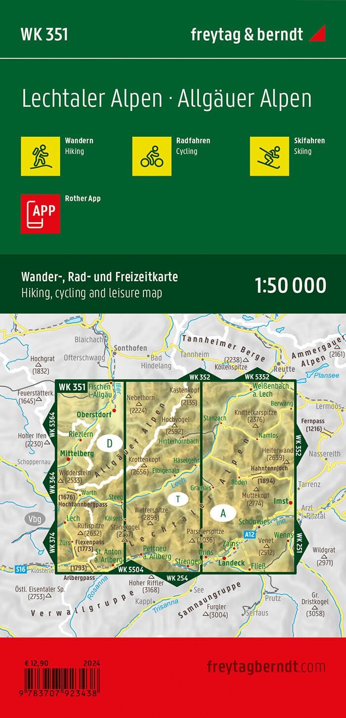
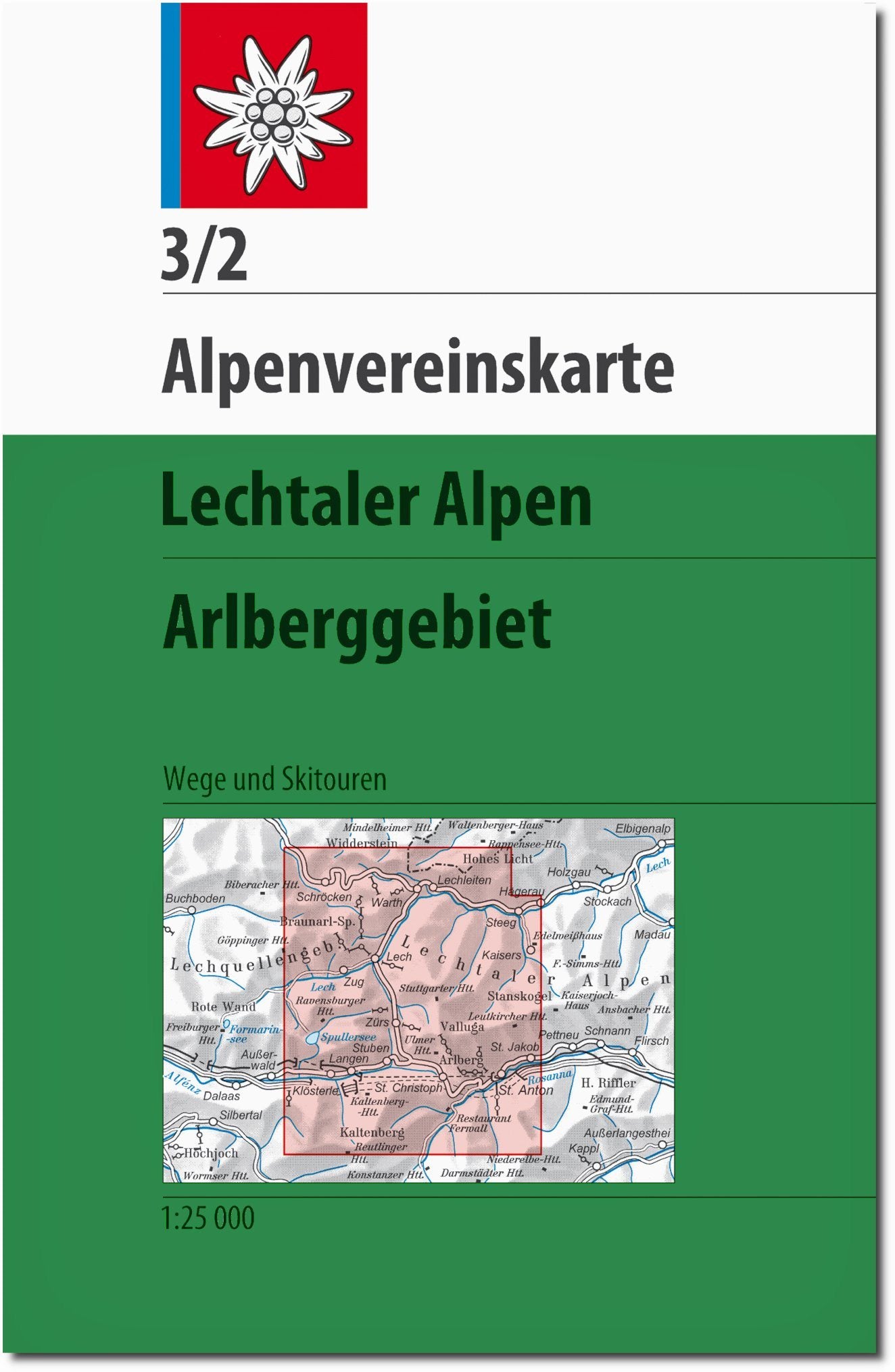
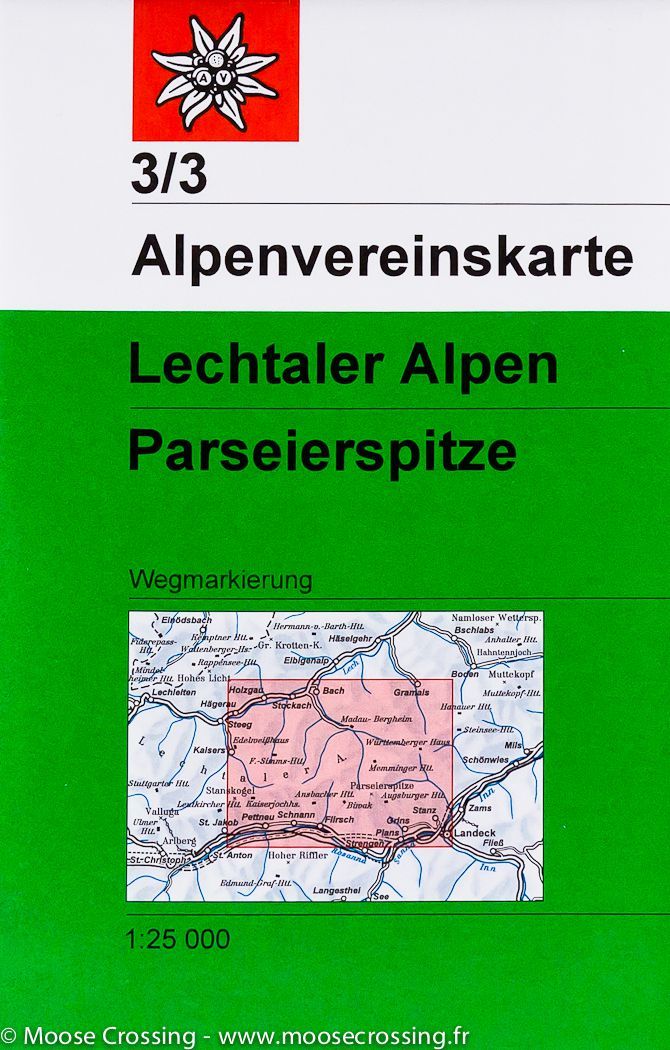
Hiking map - Allgäu & Lechtal Alps West (Germany, Austria) No. 2/1 | Alpenverein

Price
Regular price CHF 1200
Regular price Sale price CHF 1200
/
  • Ships within 24 business hours from our warehouse in France
  • Free returns (*)
  • Real-time stock levels
  • Cartovia Guarantee – Delivery issue?
    We resend immediately upon receiving a simple photo.
  • Low stock - 2 items left
  • Backordered, shipping soon
Tax included.

Frequently bought together:

Detailed topographic map published by Deutcher Alpenverein that covers the western part of Allgäu's Alps and Lechtal Alps. Contour line. The coloring of the map and graphics indicate the different types of vegetation and floor cover (rocks, scree ...). Laminated protective pocket included.


ISBN/EAN : 9783928777131
Publication date: 2019
Scale: 1/25,000 (1cm=250m)
Printed sides: front
Folded dimensions: 21 x 13 x 0.6cm
Unfolded dimensions: 84 x 68cm
Language(s): German
Weight: 72 g