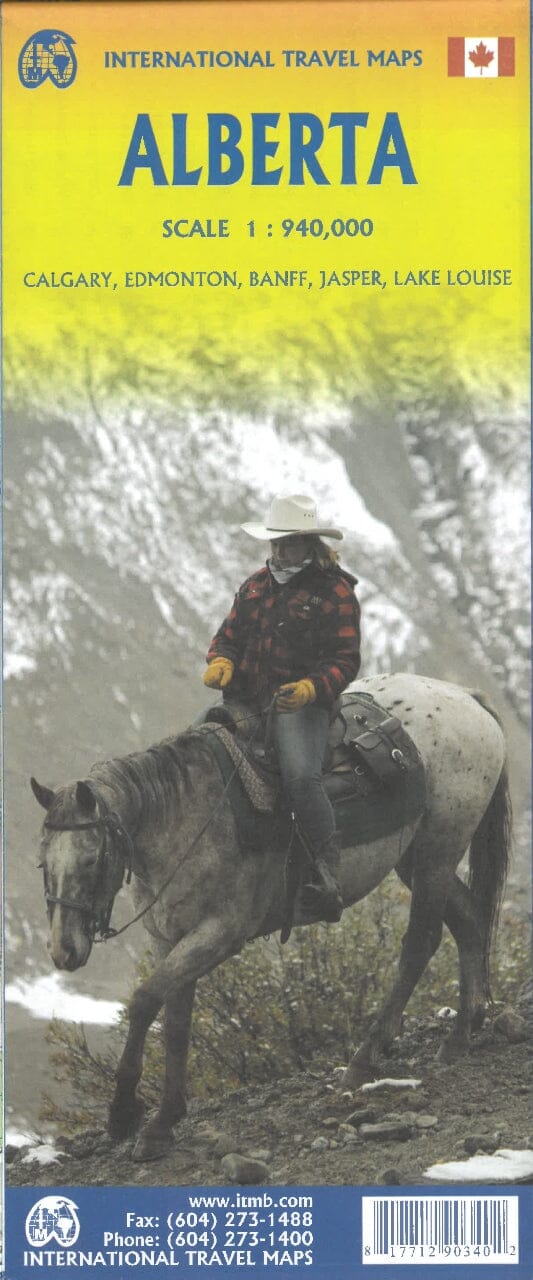
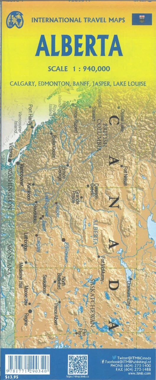
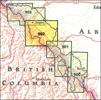
It’s the definitive auto companion for travel in this area, whether you are a resident or short-term visitor.
It’s got all the features to make even the unfamiliar areas easy to navigate.
📖 Inside this 288-page atlas, you will find:
-
Back road maps (scale 1:250,000)
-
Alberta highway map (scale 1:2,000,000)
-
Airport maps
-
Alberta distance chart
-
Feature listings:
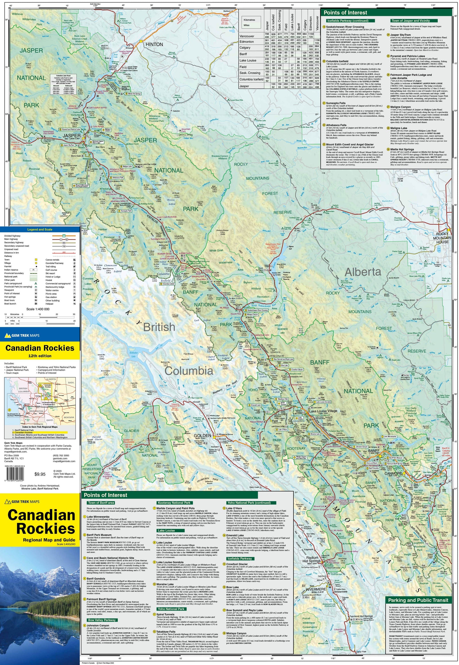
🗺️ Regional map features include:
-
Multi-lane divided highways, interchanges, exit numbers
-
Primary and secondary highways
-
Unpaved highways, Calgary City Route
-
Paved roads, unpaved roads, unimproved and seasonal roads
-
Airports, railways, ferries
-
RCMP stations, hospitals, customs, tourist information centres
-
Rest areas, ski areas, mountain biking, golf courses
-
Boat launches, marinas, points of interest
-
Whitewater rafting, horse ranches, snowmobile trails
-
Hiking trails, campgrounds, hunting and fishing lodges
-
UNESCO World Heritage sites, National Historic Sites
-
Bird watching spots, lookouts/viewpoints, hot springs
-
Provincial and national park boundaries, time zones
-
Rapids, waterfalls, beaches, peaks, glaciers
-
National and provincial parks, protected areas, bird sanctuaries
-
National Defence lands, Indian reserves
-
Population info and much more!


