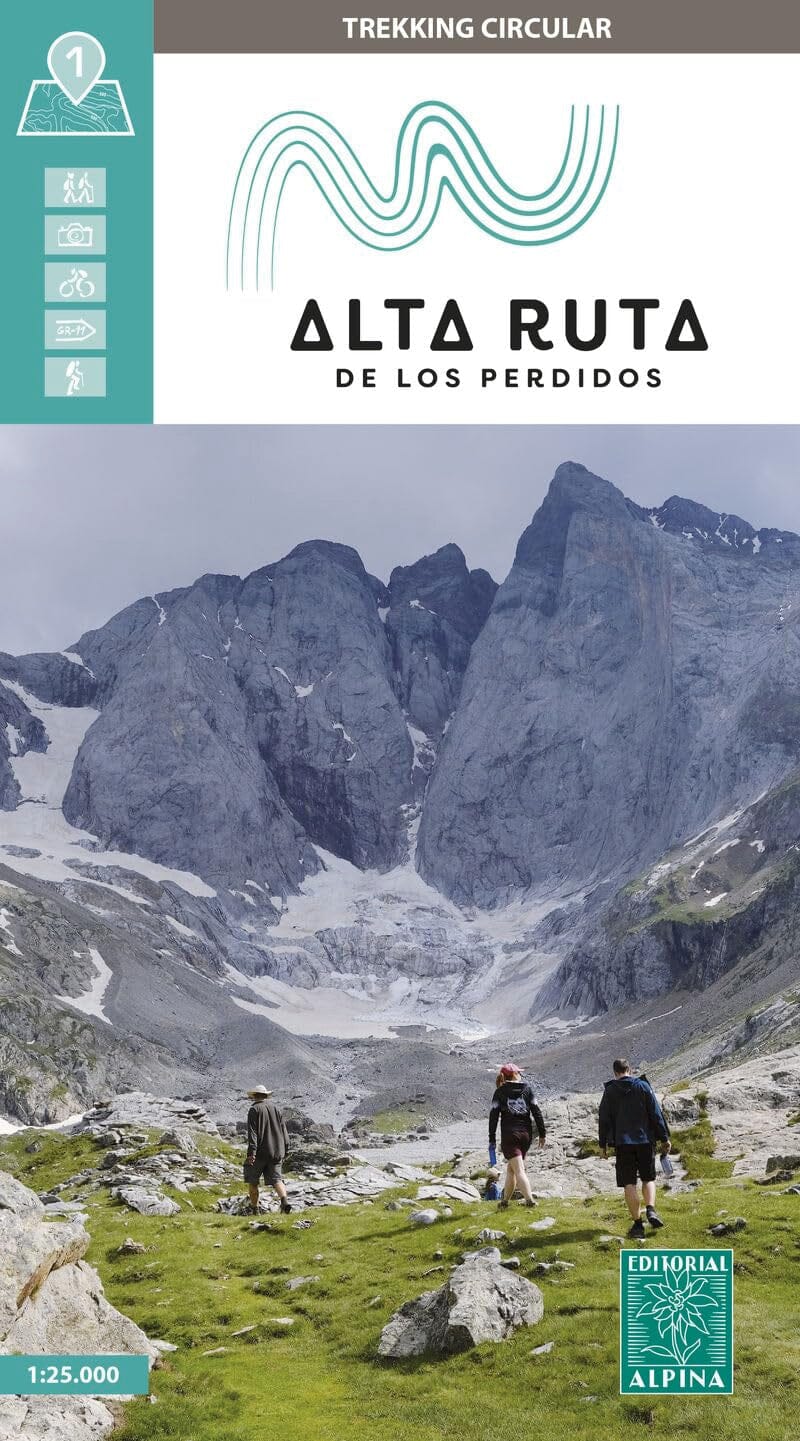
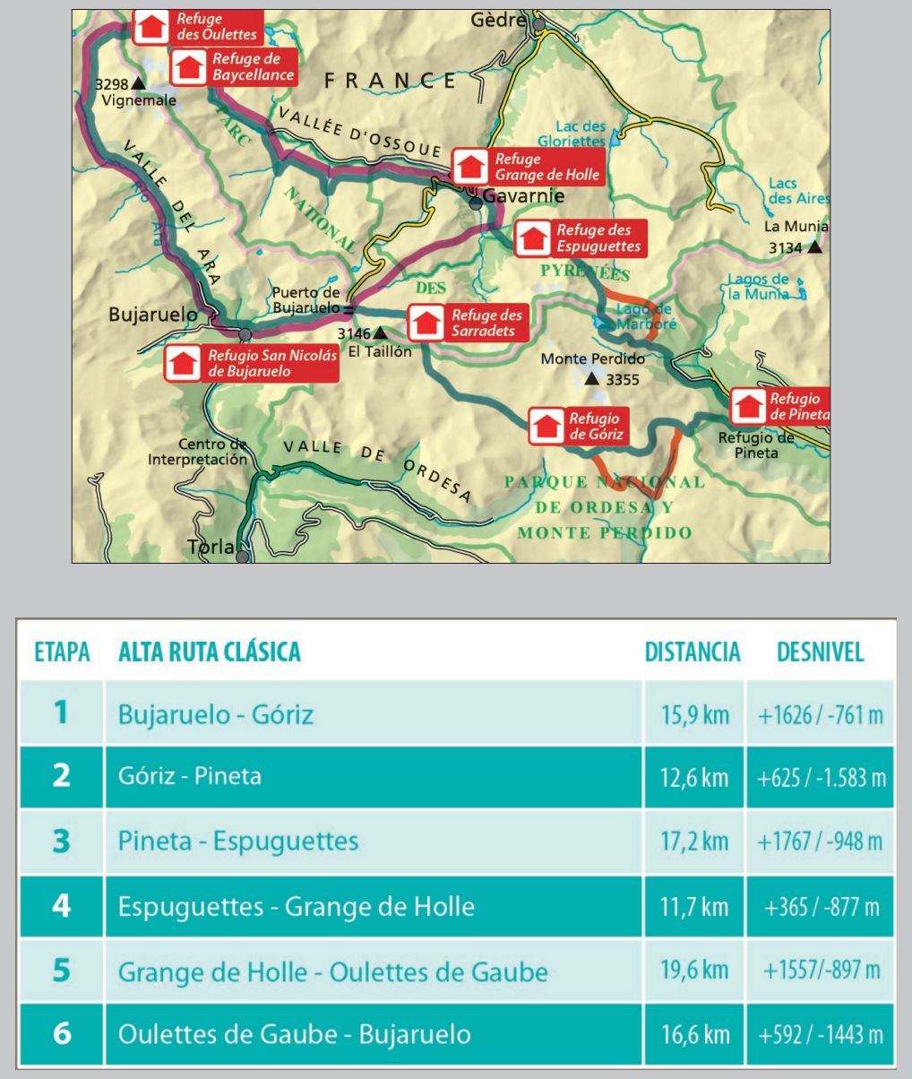
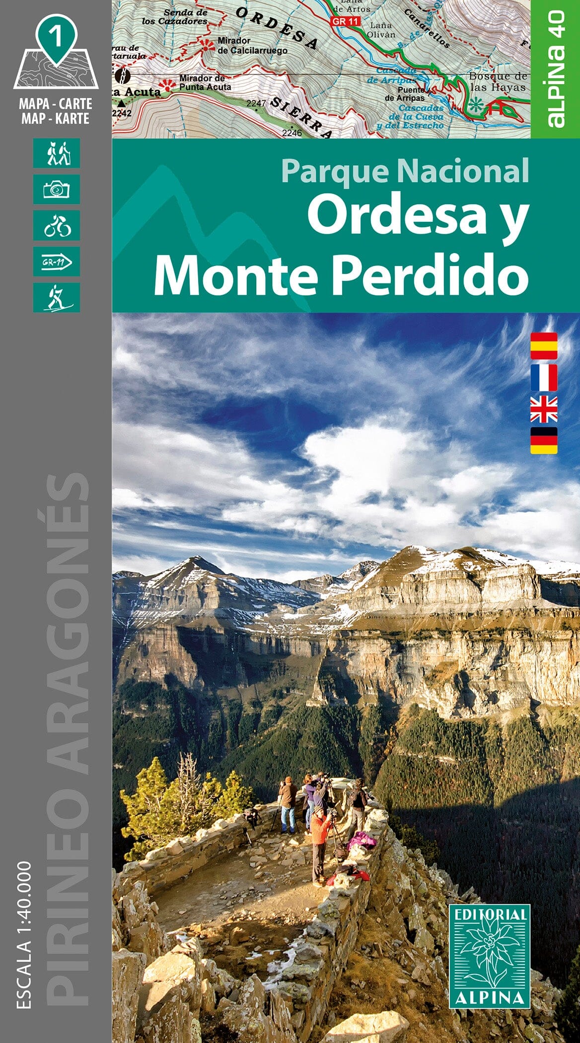
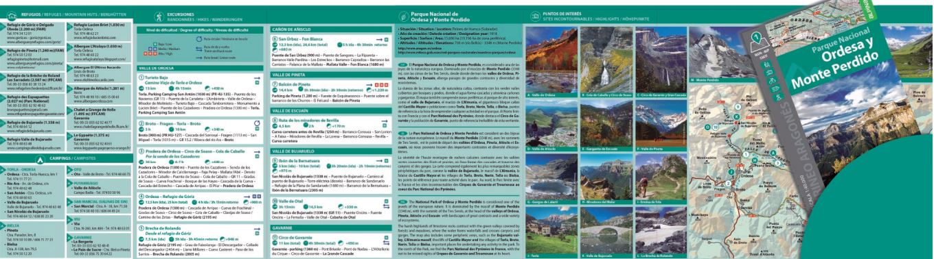
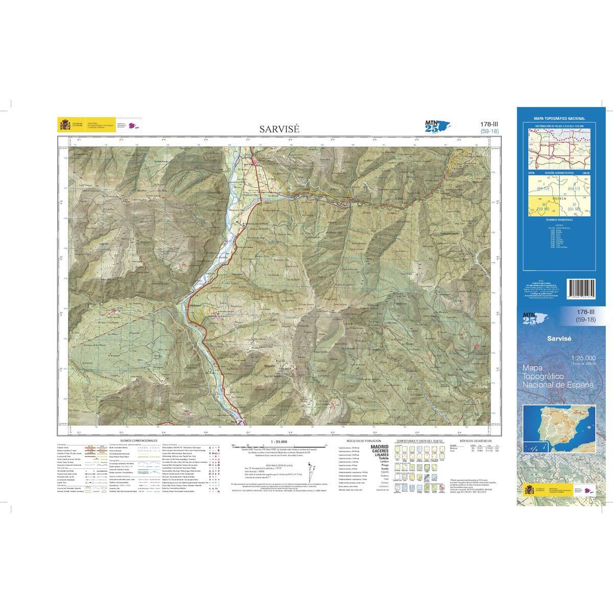
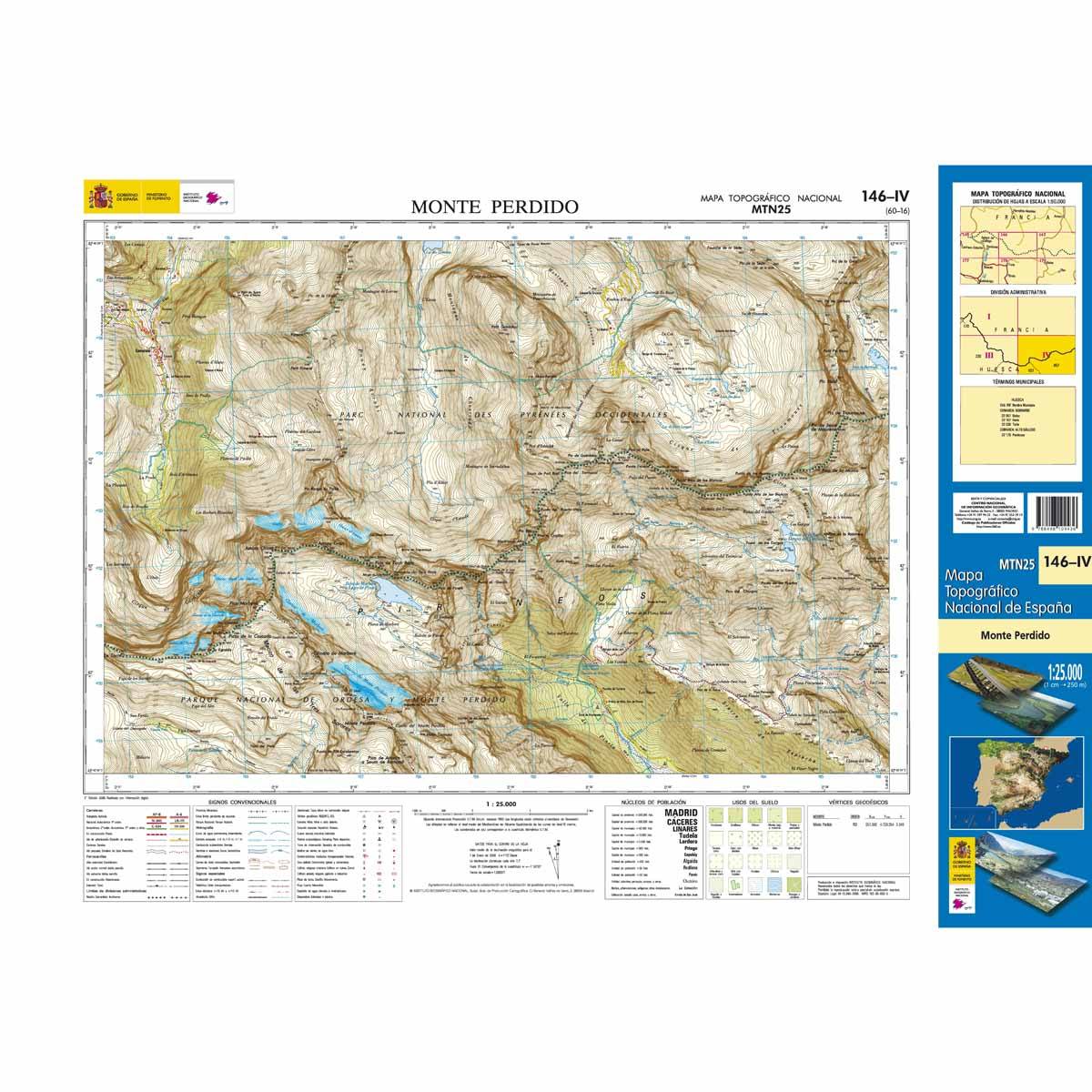
Hiking map - "Alta Ruta de Los Perdidos": Mount Lost & Vignemale (Pyrenees, Spain) | Alpina

Price
Regular price CHF 1500
Regular price Sale price CHF 1500
/
  • Shipping within 24 working hours from our warehouse in France
  • Choose your delivery method and cost at checkout, before confirming your order.
  • Free returns (*)
  • Real-time inventory
  • Low stock - 1 item left
  • Backordered, shipping soon
Tax included.

Often purchased together:

Detailed topographic map "The Alta Ruta de los Perdidos, extraordinary crossed by the massifs of Mount Lost and Vignemale, in the central Pyrenees.

The detailed map, published by Editorial Alpina, is in color with the level curves and the Hiking guide brings together the different possible hikes with the elevation, the estimated times and explanations.

1/30 000 scale (1 cm = 300 m).


ISBN/EAN : 9788470111679
Publication date: 2025
Scale: 1/25,000 (1cm=250m)
Printed sides: front
Folded dimensions: 21 x 12.5 x 1cm
Unfolded dimensions: 98 x 63cm
Language(s): Castilian
Weight: 127 g