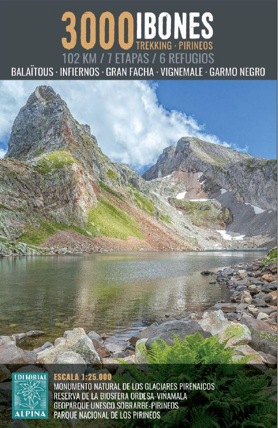
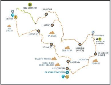
TOP 25 Map No. 1547 OTR (Resistant) - Ossau Valley & Aspe Valley (Pyrenees National Park) | IGN
- Ships within 24 business hours from our warehouse in France
- Free returns (*)
- Real-time stock levels
-
Cartovia Guarantee – Delivery issue?
We resend immediately upon receiving a simple photo.
- Low stock - 2 items left


