Hiking maps - Hohe Tauern National Park (set of 3) | Kompass - 1:50,000
- Free returns (*)
- Real-time stock levels
-
Cartovia Guarantee – Delivery issue?
We resend immediately upon receiving a simple photo.
📦 Hard-to-find maps - worldwide shipping
📦 Hard-to-find maps & travel guides - worldwide shipping, 30-day returns
🌞 Summer travel: 20,000+ maps in stock
🌞 Plan your summer: 20,000+ maps and travel guides in stock Details →
✅ Latest editions guaranteed — since 2010
✅ Latest editions guaranteed - 180,000+ travellers equipped since 2010
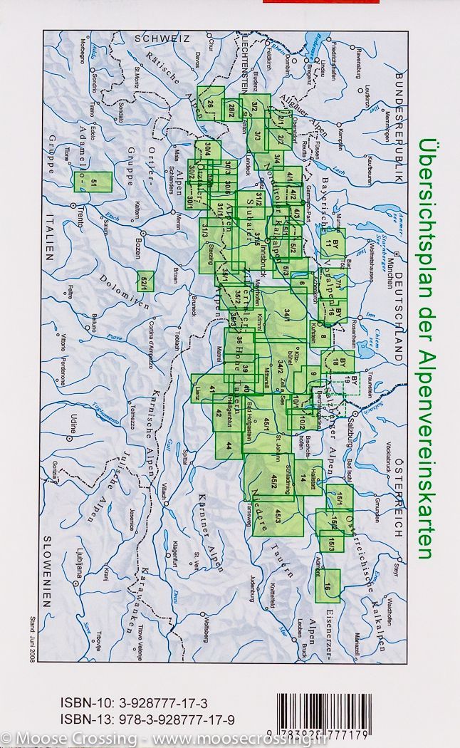
The Kompass Hohe Tauern 3-map set covers one of the largest natural areas in Central Europe, including the Grossvenediger, Grossglockner, and Ankogel massifs. Ideal for hiking, cycling, and mountain activities, this set offers extensive and detailed coverage.
At a scale of 1:50,000, these maps allow for precise orientation and include all essential information for safely planning your routes.
The Hohe Tauern National Park is Austria's largest national park, famous for its Alpine peaks, glaciers, and spectacular landscapes. It is home to the Grossglockner, the country's highest peak, as well as the Grossvenediger and the Ankogel, popular destinations for hikers and mountaineers.
ISBN/EAN
: 9783991545354
Publication date: 2026
Scale: 1/50,000 (1cm=500m)
Folded dimensions: 11 x 19cm
Language(s): German
Weight:
216 g
The exclusive newsletter for travel and discovery enthusiasts!