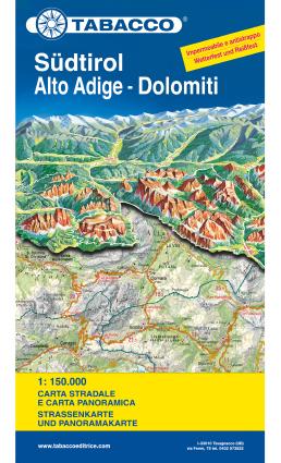
This waterproof road map of South Tyrol and the Dolomites, published by Tabacco at 1:150,000, provides a detailed picture of the mountainous region’s topography, with a panorama on the reverse.
Coverage extends from the Austrian border to beyond Trento and Feltre, and from Bormio in the west to the regional boundary. Cortina d’Ampezzo and Belluno are included.
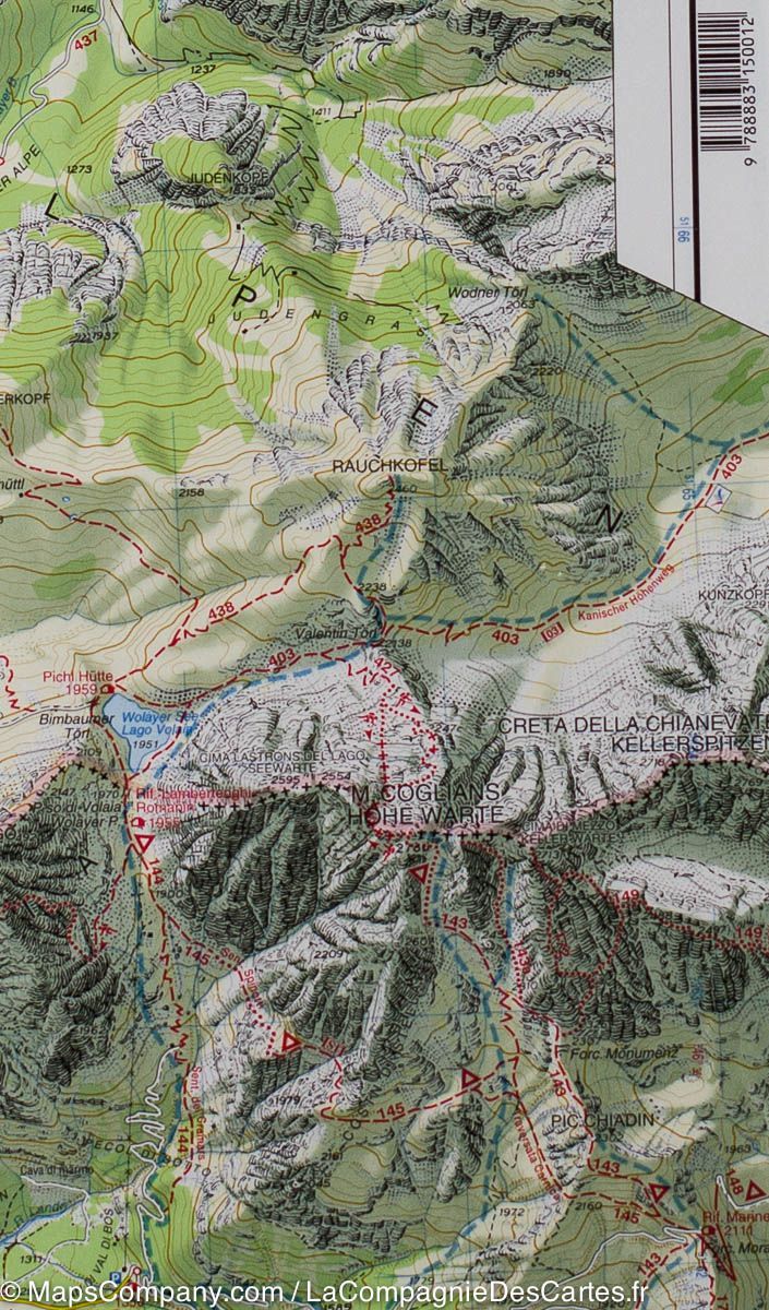
Terrain, forests, national park boundaries and other protected areas are shown. The map focuses on topography rather than tourist sights, but campsites are marked.
Contour lines at 100 m intervals.
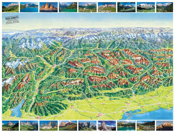
On the reverse, the Dolomites panorama looks north from the Po Plain and the motorway between Lake Garda and Venice, with the Austrian and German Alps in the background. It names mountain ranges, peaks and valleys, and shows towns, villages and the road network.
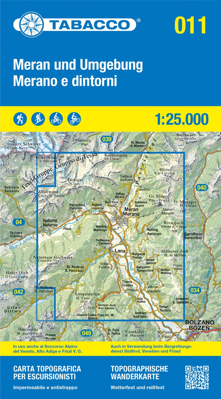
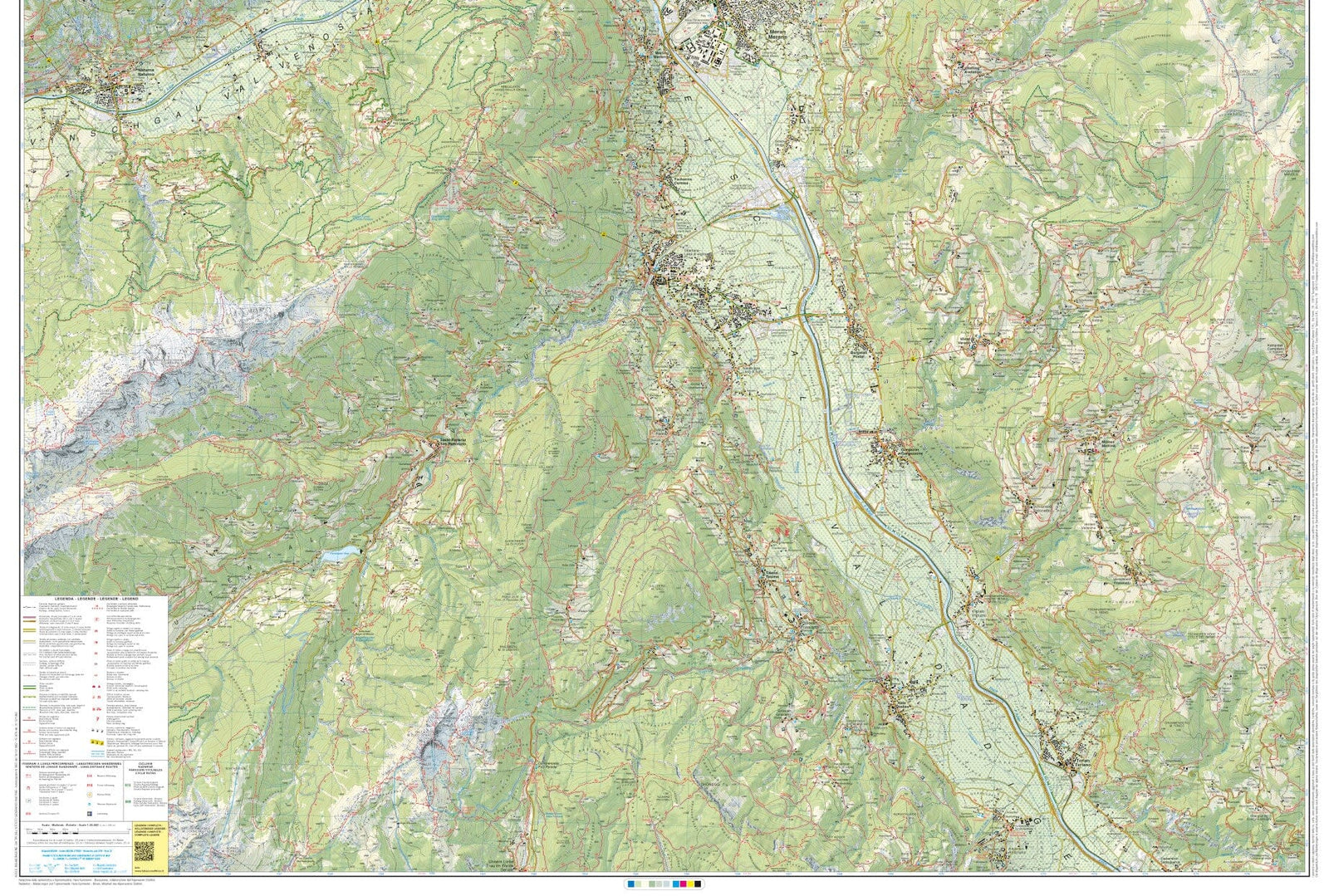
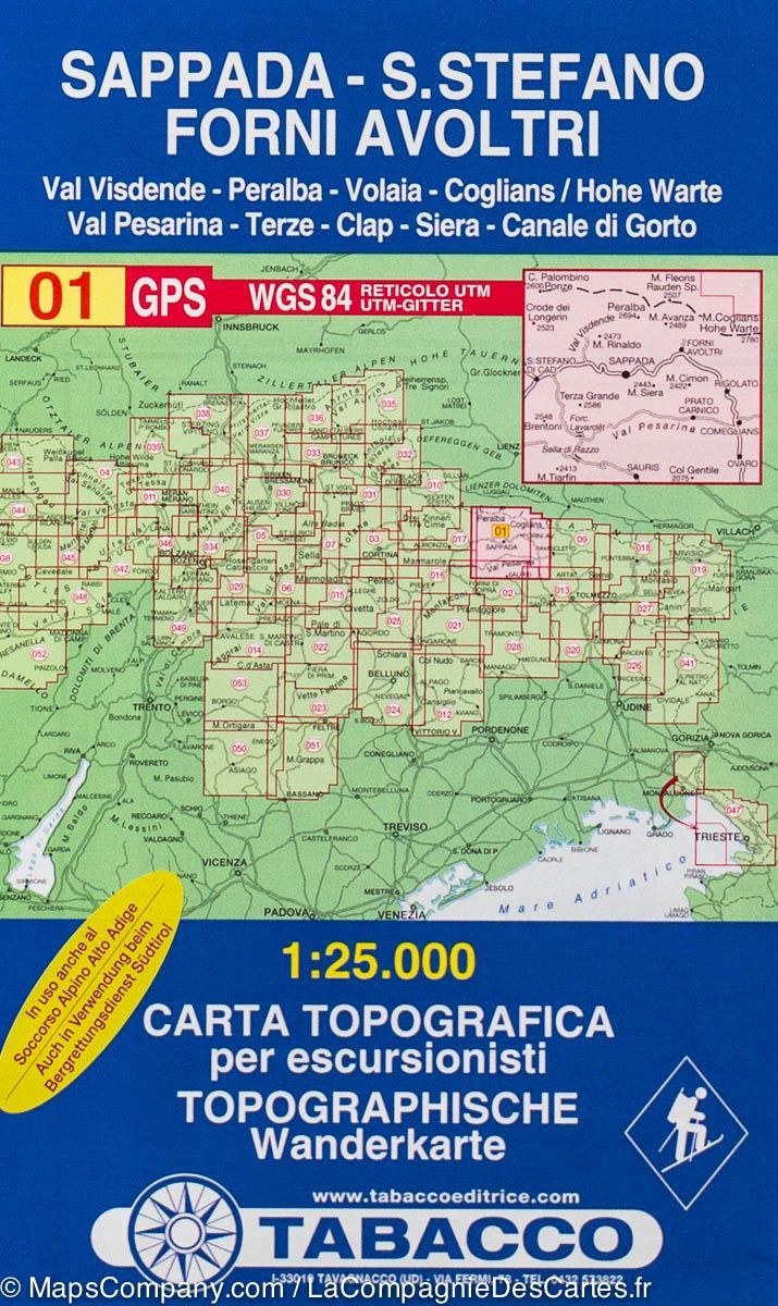
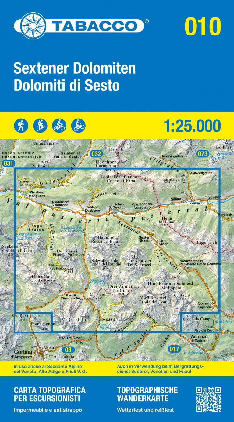
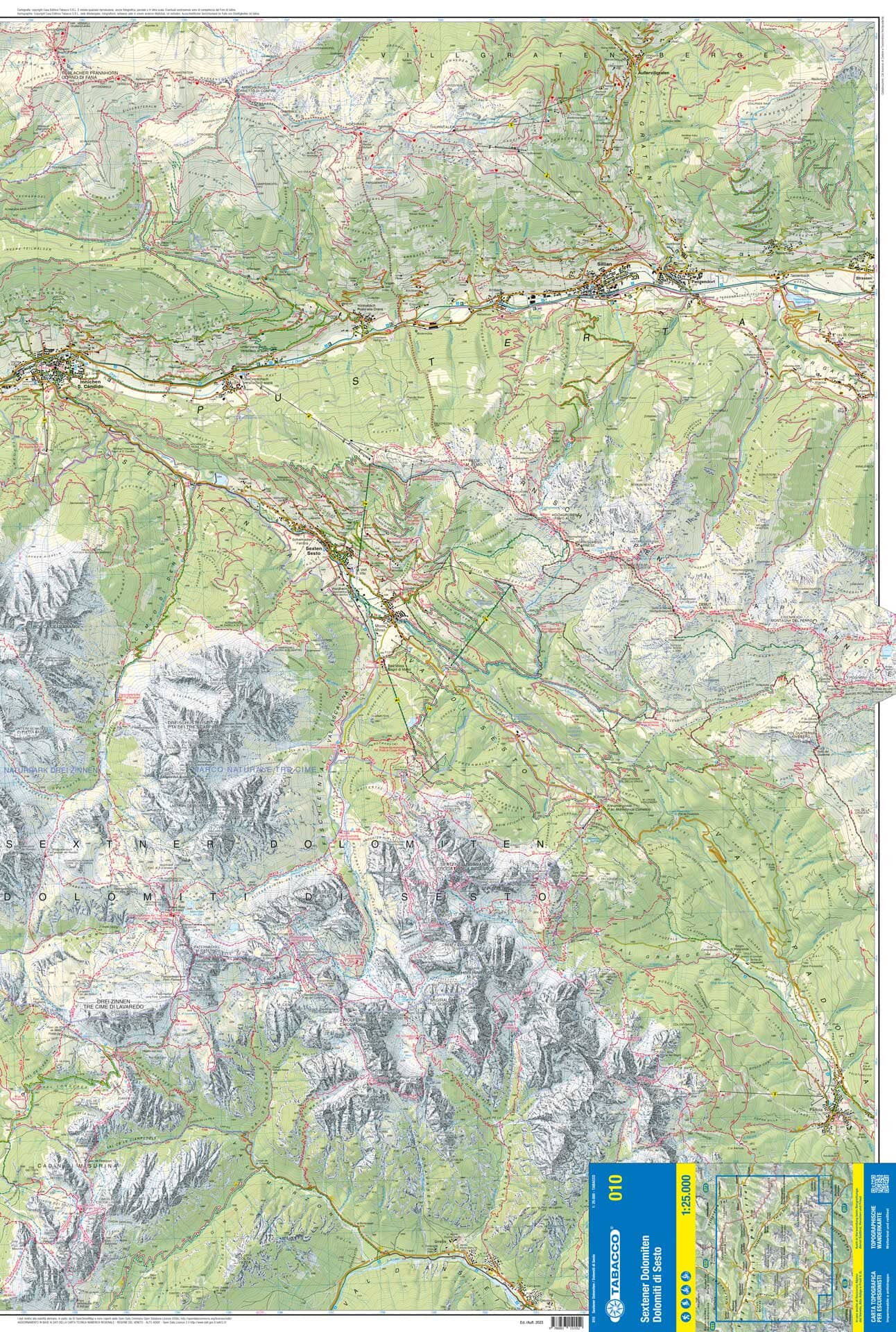
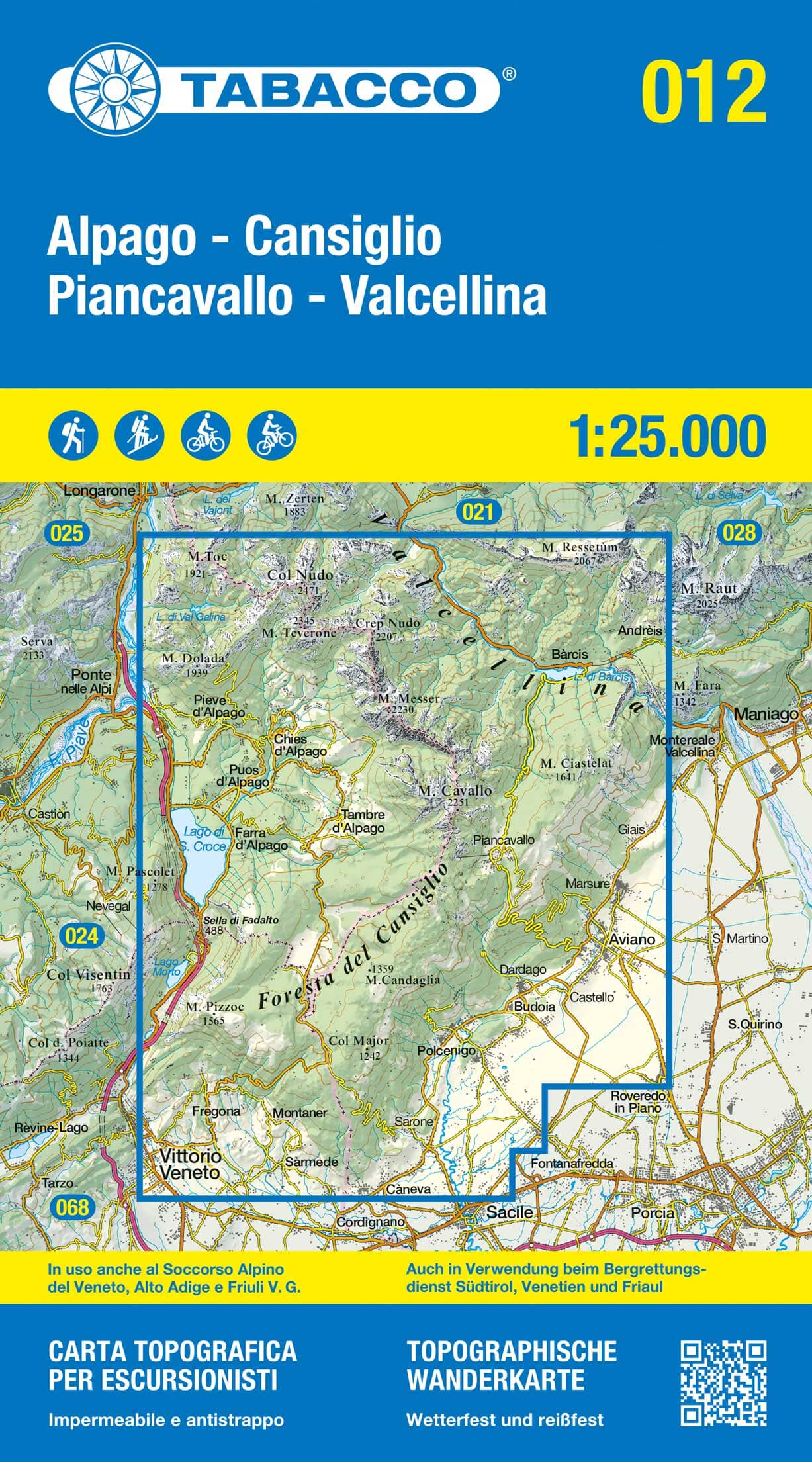
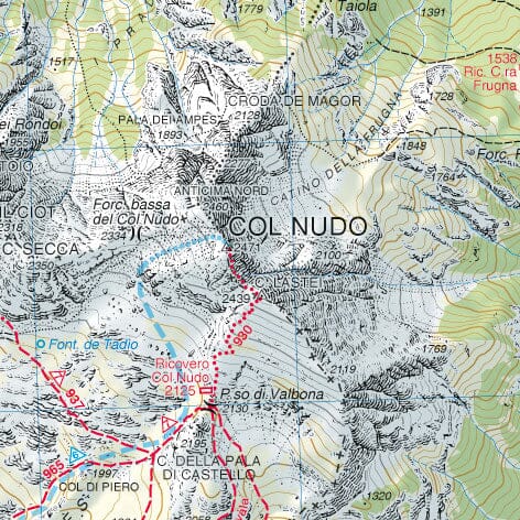
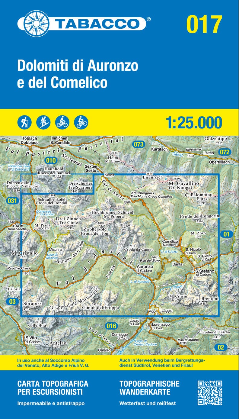
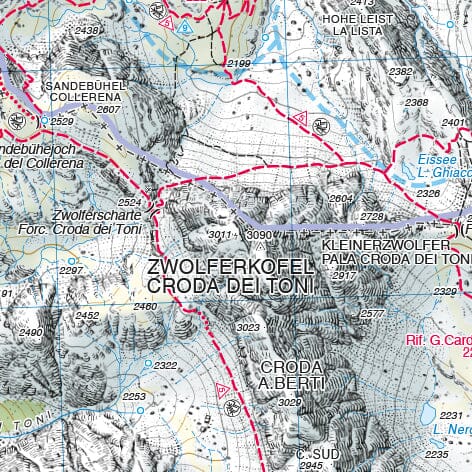
a useful complement to Tabacco’s detailed 1:25,000 hiking maps.