Travel map - Ontario | ITM

Price
Regular price CHF 1500
Regular price Sale price CHF 1500
/
  • Ships within 5 to 8 working days
    (Currently in transit to our warehouse in France)
  • Cartovia Guarantee – Delivery issue?
    We resend immediately upon receiving a simple photo.
Tax included.

Often purchased together:

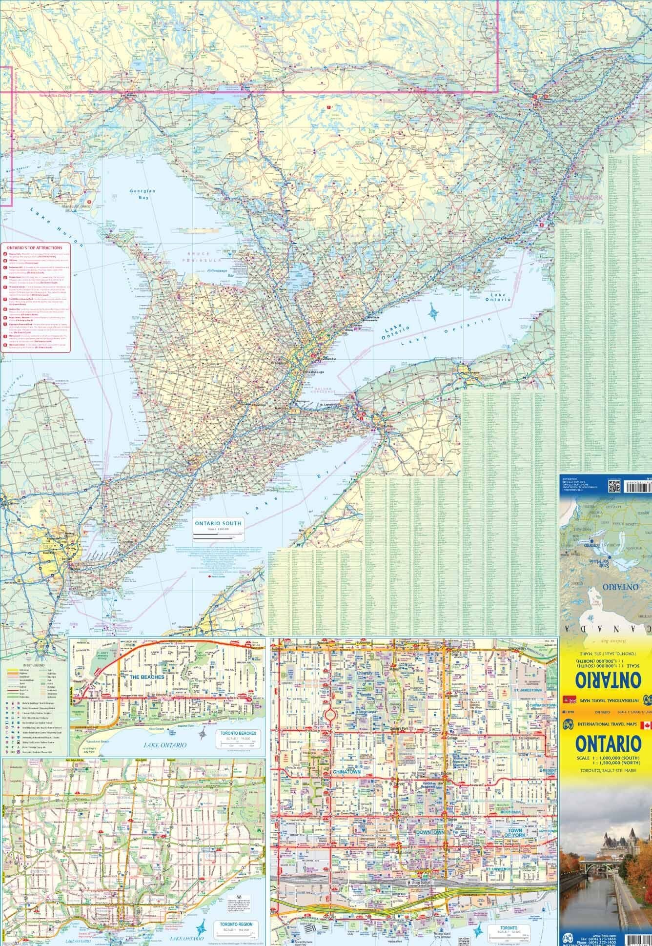
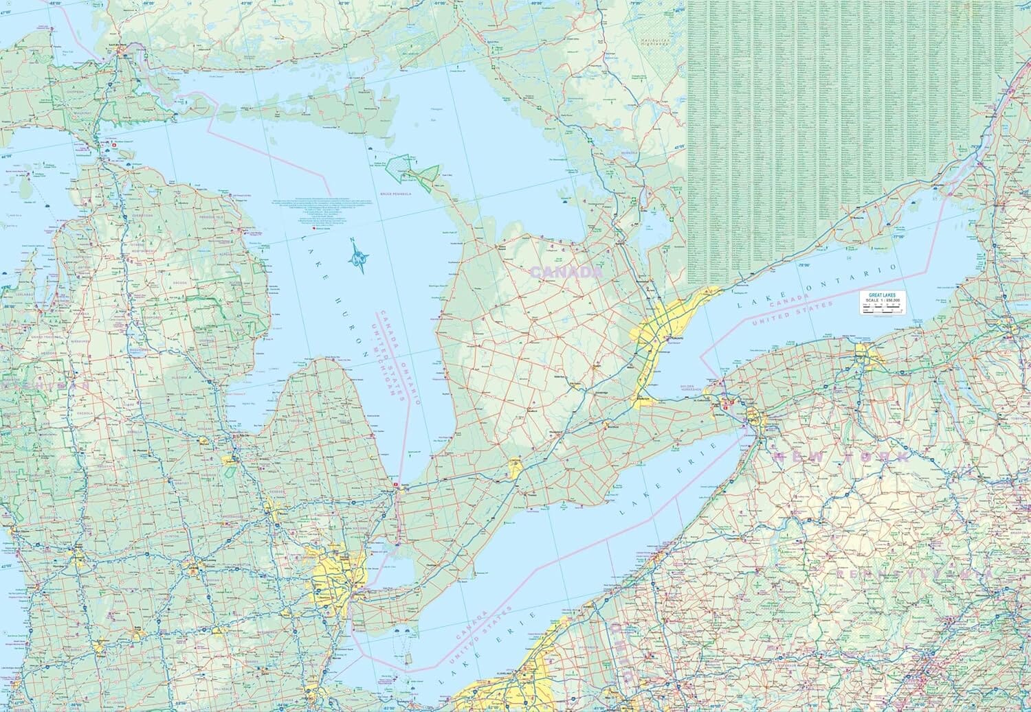
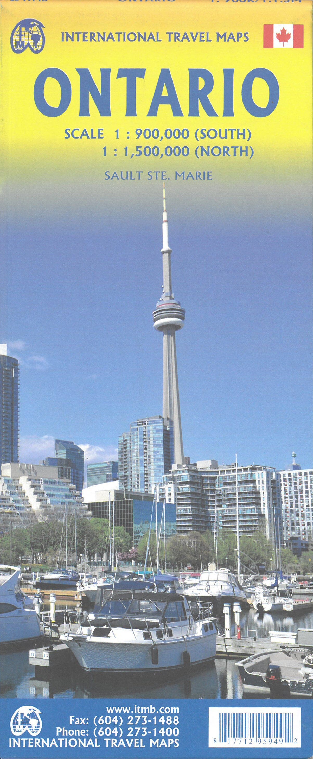
Discover Ontario with this ITM travel map, designed to cover the entirety of this vast Canadian province, from the northern wilderness to the major urban and tourist centers in the south.

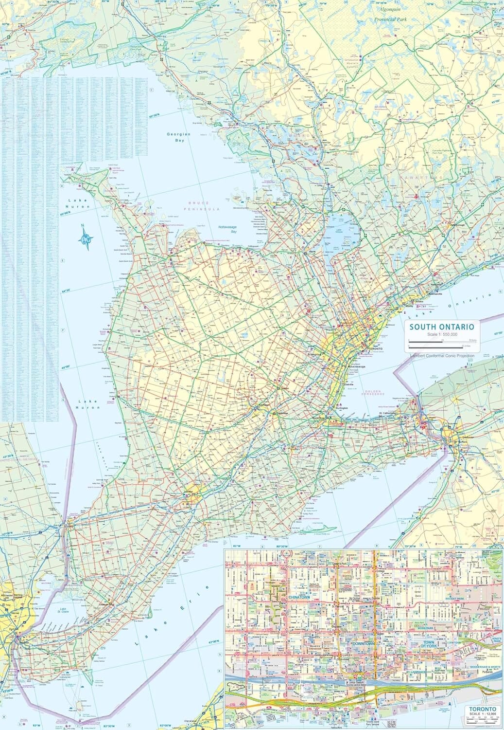
The map is printed double-sided. One side is dedicated to Northern Ontario, characterized by its numerous lakes, rivers, and vast, sparsely populated areas. The other covers Southern Ontario, where many of the province's main cities and attractions are concentrated.

Main Regions and Sites Covered

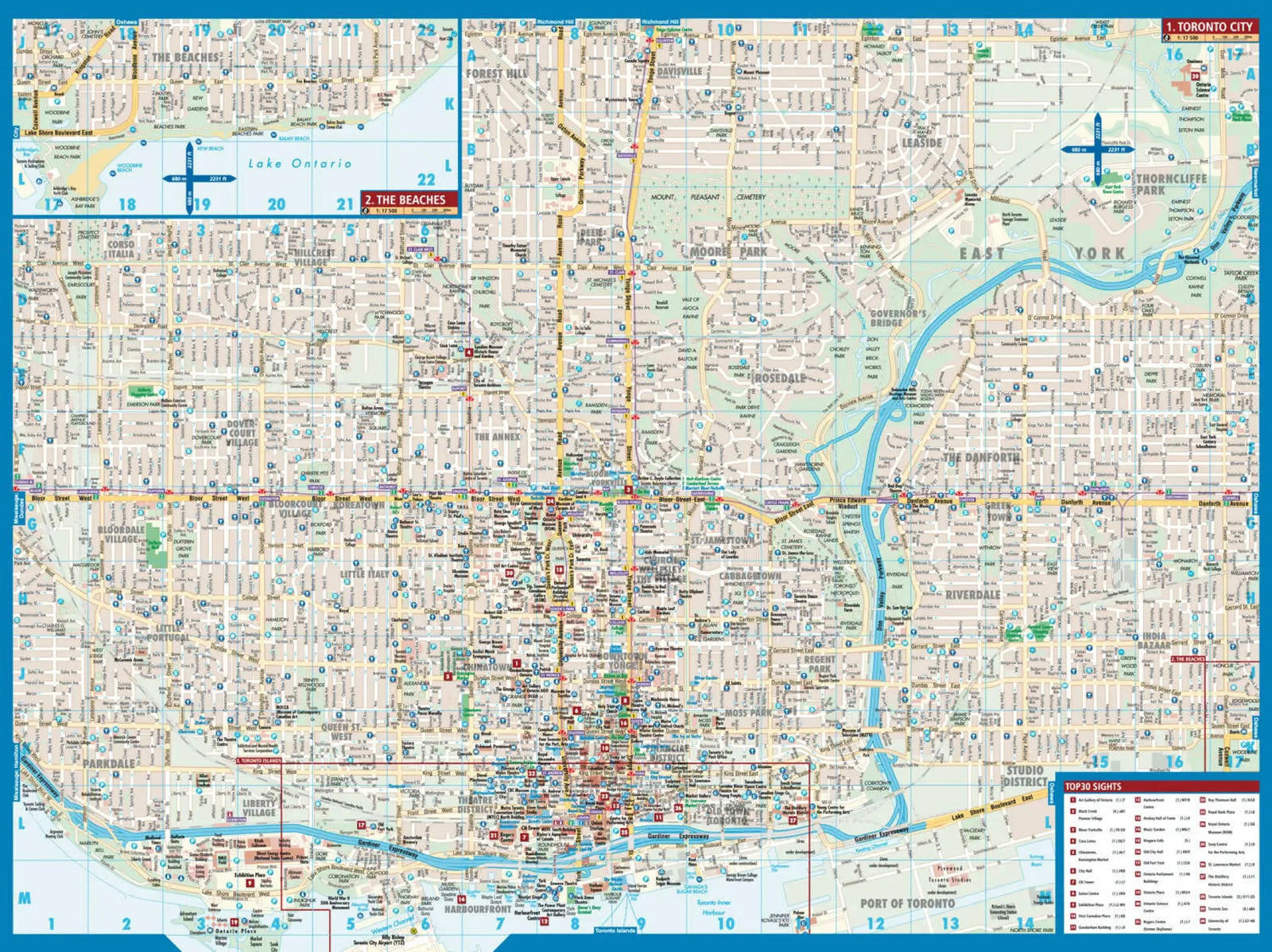
  • Toronto
  • Ottawa
  • Niagara Falls
  • Niagara Peninsula
  • Algonquin Park
  • Muskoka
  • Thunder Bay
  • Cochrane
  • Lake of the Woods
  • Old Fort William
  • Canadian Shield
  • Great Lakes
  • Northern Ontario
  • Southern Ontario

This map is a practical tool for planning an Ontario road trip and better understanding the province's highly contrasting geography.


ISBN / EAN : 9781771296038
Date de publication : 2026
Echelle : 1:800,000 (1 cm = 8 km) & 1:1,500,000
Impression: both sides
Dimensions plié(e) : 24.6 x 10.3 x 0.5cm
Dimensions déplié(e) : 100 x 68cm
Langue : English
Poids : 60 g