Le Mont Wilson, California | Tom Harrison Maps carte de randonnée Tom Harrison Maps

Mount Wilson, California | Tom Harrison Maps

Price
Regular price CHF 1000
Regular price Sale price CHF 1000
/
  • Shipping within 48 business hours from our warehouse in the USA. For this product, customs fees may be requested by the carrier upon delivery.
  • Choose your delivery method and cost at checkout, before confirming your order.
  • Free returns (*)
  • Real-time inventory
  • In stock, ready to ship
  • Backordered, shipping soon
Tax included.

Often purchased together:

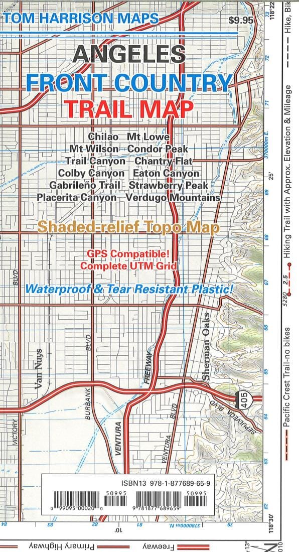
Shaded relief topo map of Mount Wilson with accurate trail and trailhead markings. This 2013 map contains all the trail changes made after a decade of fires, trail reconstructions, etc. Printed on waterproof, tear-resistant material with beautiful colors. The Mount Wilson area provides access to many popular climbs and hiking trails. Some of the most popular include Josephine, Strawberry Peaks, Baden Powell, and Mt. Lowe.


ISBN/EAN : 9780981834498
Publication date: 2018
Folded dimensions: 9.06 inches x 4.33 inches (23 x 11 cm)
Unfolded dimensions: 25.98 inches x 16.54 inches (66 x 42 cm)
Language(s): English
Weight: 20 g