Tourist Map - Pyrenees | Alpina - 1:350,000

Price
Regular price CHF 1500
Regular price Sale price CHF 1500
/
  • Shipped within 24 to 48h from our warehouse in France
  • Customs duties may apply on import to your country
  • Free returns (*)
  • Real-time stock levels
  • Cartovia Guarantee – Delivery issue?
    We resend immediately upon receiving a simple photo.
  • In stock, ready to ship
  • Backordered, shipping soon
Tax included.

Frequently bought together:

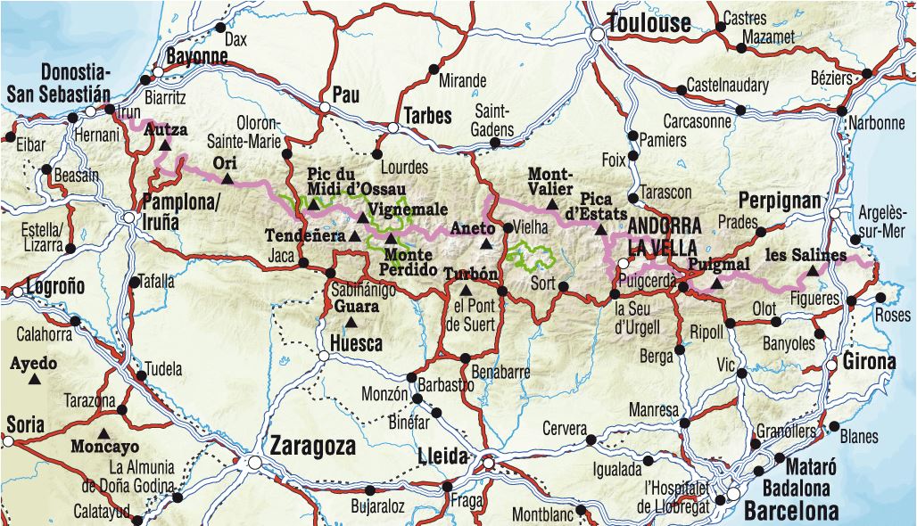
This tourist and road map of the Pyrenees published by Alpina provides an overview of the entire range on its French, Spanish and Andorran sides.

Scale: 1:350,000.

  • relief shown with hill shading and contour lines;
  • main summits with elevations;
  • national and natural parks;
  • airports, railway stations and tourist resorts;
  • main places of interest.

The map also shows the general route of the main trails crossing the Pyrenees: GR® 10, GR® 11 and GR® 107.


ISBN/EAN : 9788470112256
Publication date: 2026
Scale: 1/350,000 (1 cm = 3.5 km)
Printed sides: front
Folded dimensions: 21 x 11.5cm
Unfolded dimensions: 138 x 86 cm
Language(s): French, English, German, Castilian, Catalan
Weight: 163 g