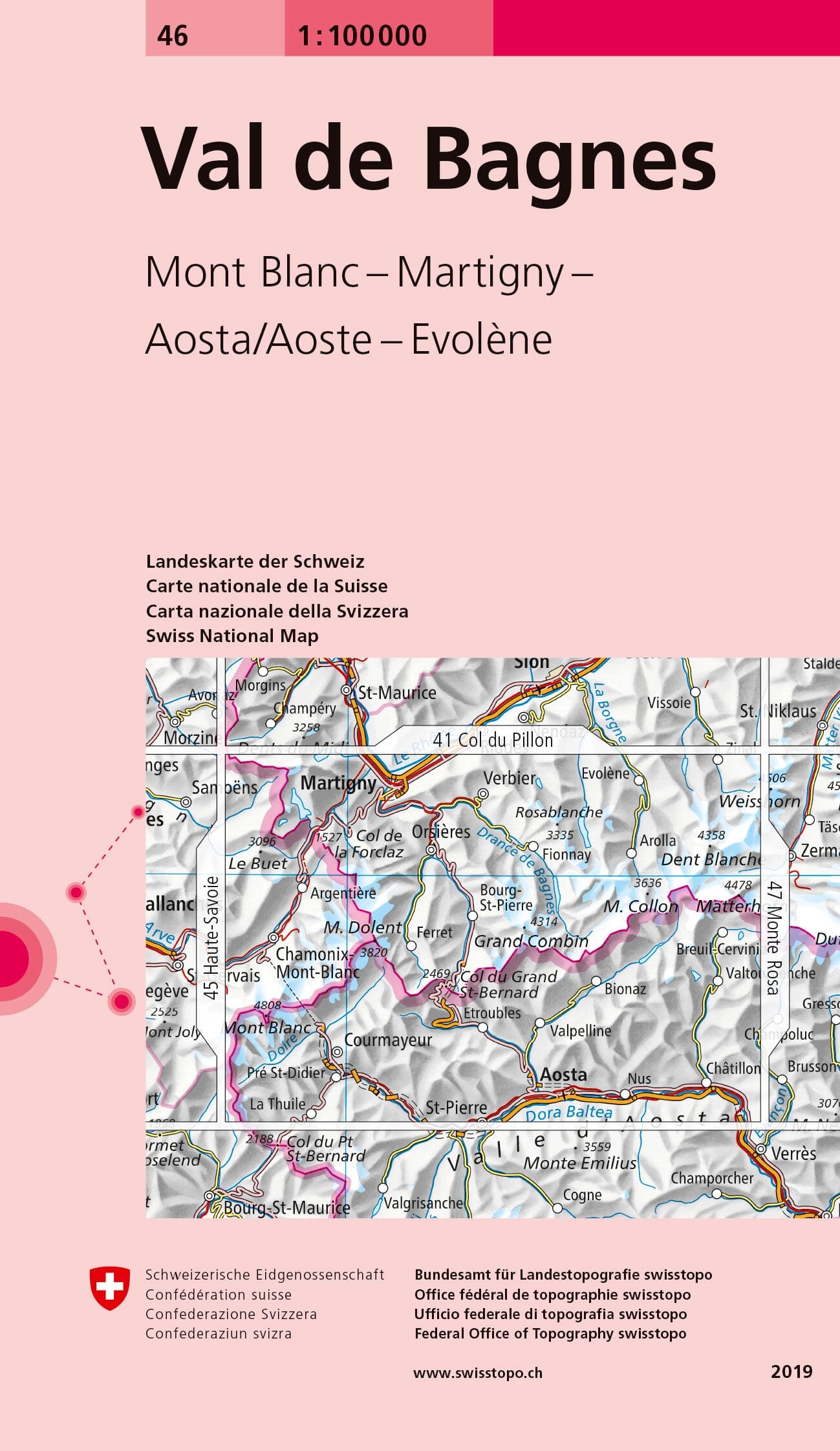
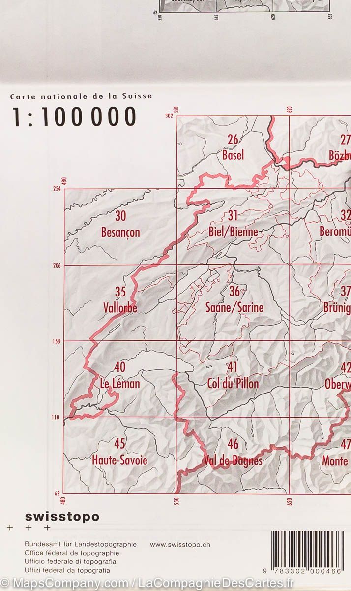
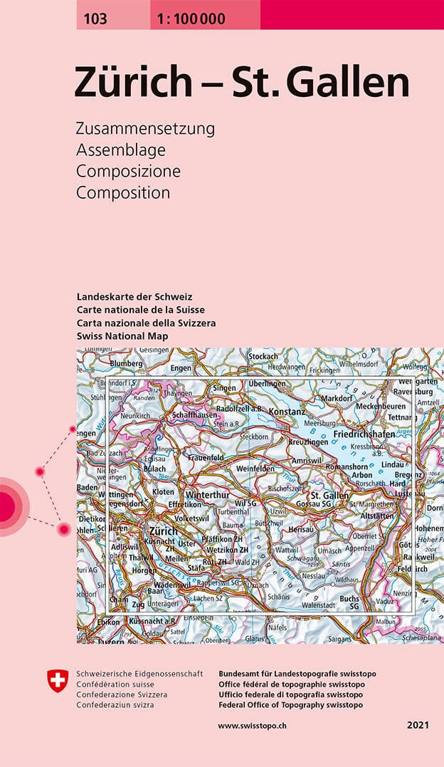
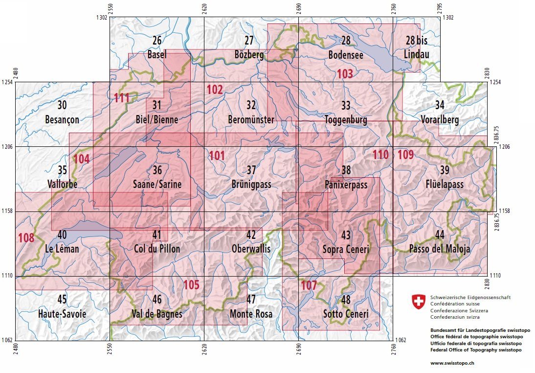
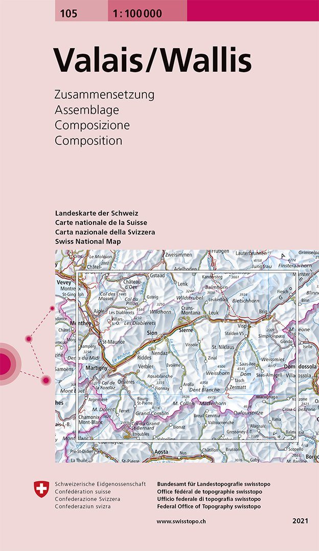
Topographic map No. 46 - Val de Bagnes (Switzerland) | Swisstopo - 1/100 000

Price
Regular price CHF 1400
Regular price Sale price CHF 1400
/
  • Ships within 24 business hours from our warehouse in France
  • Free returns (*)
  • Real-time stock levels
  • Cartovia Guarantee – Delivery issue?
    We resend immediately upon receiving a simple photo.
  • Low stock - 2 items left
  • Backordered, shipping soon
Tax included.

Frequently bought together:

Topographic map of the region of Val de Bagnes published by Swisstopo. This hiking map extends from Chamonix to the west in Châtillon in the east and Martigny north in Aosta south with the Mont Blanc area, and the Verbier. Level curves and mountain information included.


ISBN/EAN : 9783302000466
Publication date: 2019
Scale: 1/100,000 (1cm=1km)
Printed sides: front
Folded dimensions: 13 x 19cm
Unfolded dimensions: 78 x 56cm
Language(s): multilingual including French
Weight: 44 g