3D Relief Map - Vanoise: Glaciers - 50 x 70 cm | Dénivelés Editions

Price
Regular price CHF 5500
Regular price Sale price CHF 5500
/
  • Real-time inventory
  • Cartovia Guarantee – Delivery issue?
    We resend immediately upon receiving a simple photo.
  • In stock, ready to ship
  • Backordered, shipping soon
Tax included.

Often purchased together:

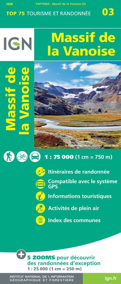
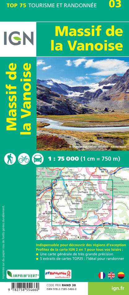
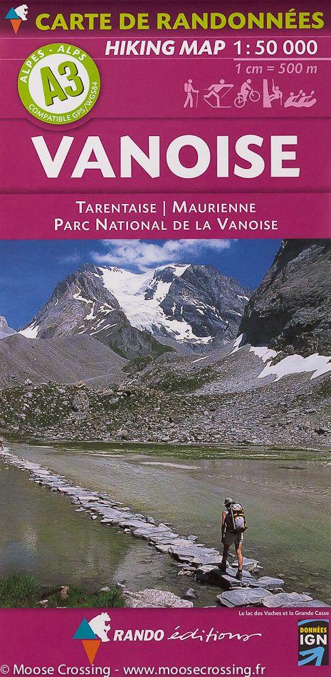
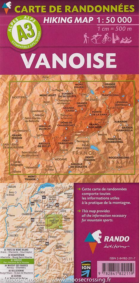
Discover the spectacular terrain of Parc national de la Vanoise with this 3D relief map by Dénivelés Éditions. It covers the heart of Haute-Tarentaise and Haute-Maurienne, from Aime-La Plagne to Lac du Mont-Cenis.

Thanks to its thermoformed relief and realistic colours, this map highlights the glaciers, forests, cliffs and main peaks of the massif. Hiking trails, climbing sites and free-flight areas are also shown, making this map an excellent aid for preparing mountain outings or simply admiring the exceptional geography of the Vanoise.

❄️ Main glaciers shown

  • Glacier du Vallonnet
  • Glacier de Rosoire
  • Glacier de la Mahure
  • Glacier du Dôme de Chasseforêt
  • Glacier de l'Arpont
  • Glacier du Génépy
  • Glacier du Pelve
  • Glacier des Sonnailles
  • Glacier de Labby
  • Glacier des Nans
  • Glacier de Belle Place

Specifications

  • Planimetric scale: 1:60,000
  • Altimetric scale: 1.2:60,000
  • Format: 70 x 50 cm
  • Relief: 6.49 cm
  • Material: thermoformed PVC
  • Orientation: Portrait
  • Sold unframed
  • Compatible with a standard 70 x 50 cm frame


ISBN/EAN : 3760357080762
Publication date: 2026
Printed sides: front
Unfolded dimensions: 50 x 70 x 3 cm
Language(s): French
Weight: 180 g