Detailed Map - Guadeloupe, Saint Martin, Saint Barthelemy | IGN

Price
Regular price CHF 1000
Regular price Sale price CHF 1000
/
  • In stock in France and in the USA
    Shipped within 24 to 48h from the warehouse closest to you
  • Customs duties may apply on import to your country
  • Free returns (*)
  • Real-time stock levels
  • Cartovia Guarantee – Delivery issue?
    We resend immediately upon receiving a simple photo.
  • In stock, ready to ship
  • Backordered, shipping soon
Tax included.

Frequently bought together:

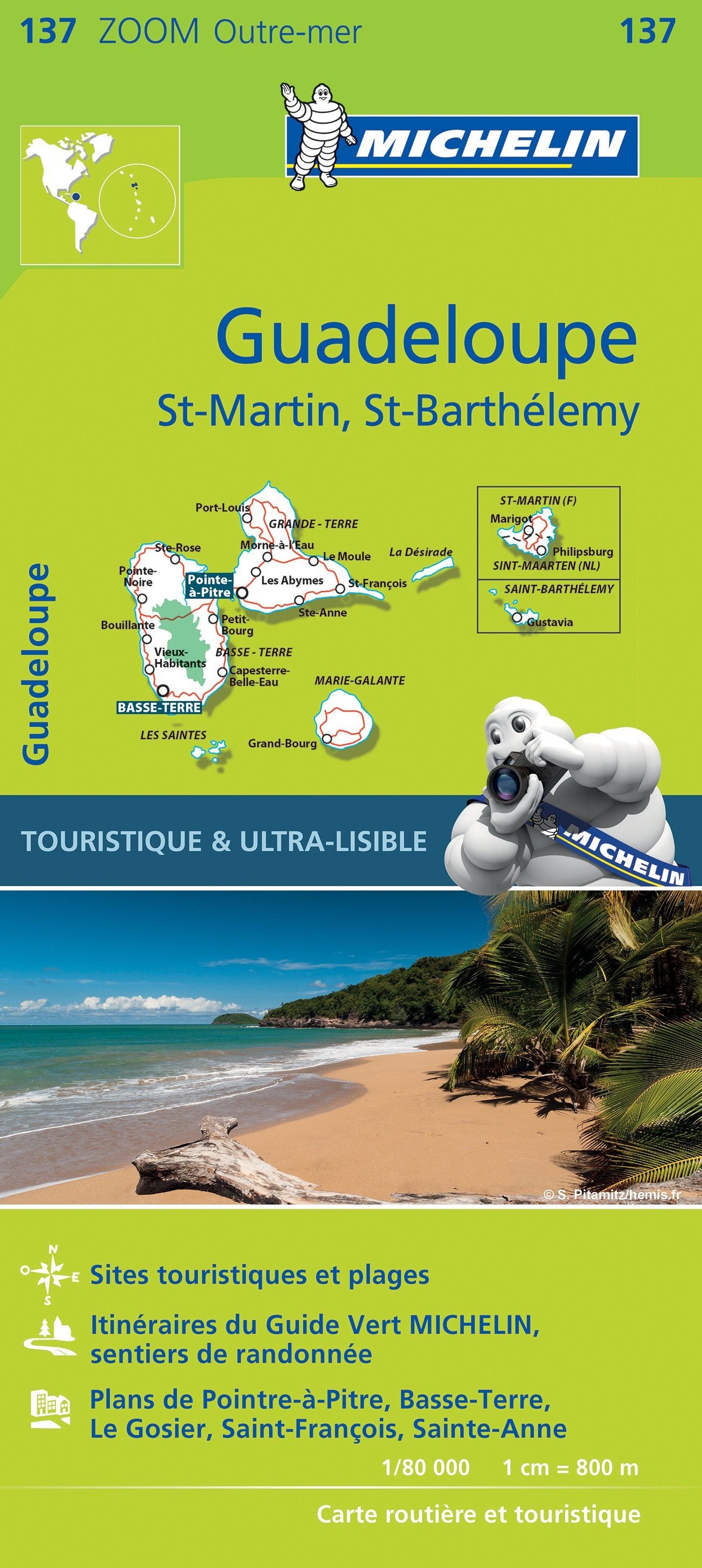
This detailed map of Guadeloupe, Saint Martin and Saint Barthelemy in the Caribbean is published by IGN at a scale of 1:80,000, where 1 cm = 800 m.

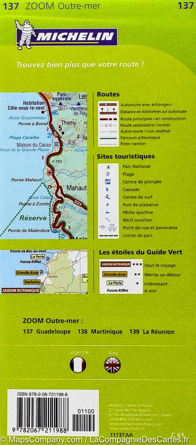
It provides extensive tourist information on historic monuments, local markets, crafts and places of interest, as well as outdoor activities including hiking, surfing, scuba diving, free flight and horse riding.

Guadeloupe is a group of islands in the southern Caribbean Sea. Its two largest islands, which give it a butterfly-like shape, are separated by the Rivière Salée. Grande-Terre has long beaches and sugar-cane fields. On Basse-Terre, Guadeloupe National Park contains the Carbet Falls and the La Grande Soufrière volcano.


ISBN/EAN : 9782758546580
Publication date: 2019
Scale: 1/80,000 (1 cm = 800 m)
Printed sides: front
Folded dimensions: 11x24cm
Unfolded dimensions: 132 x 100cm
Language(s): French
Weight: 89 g