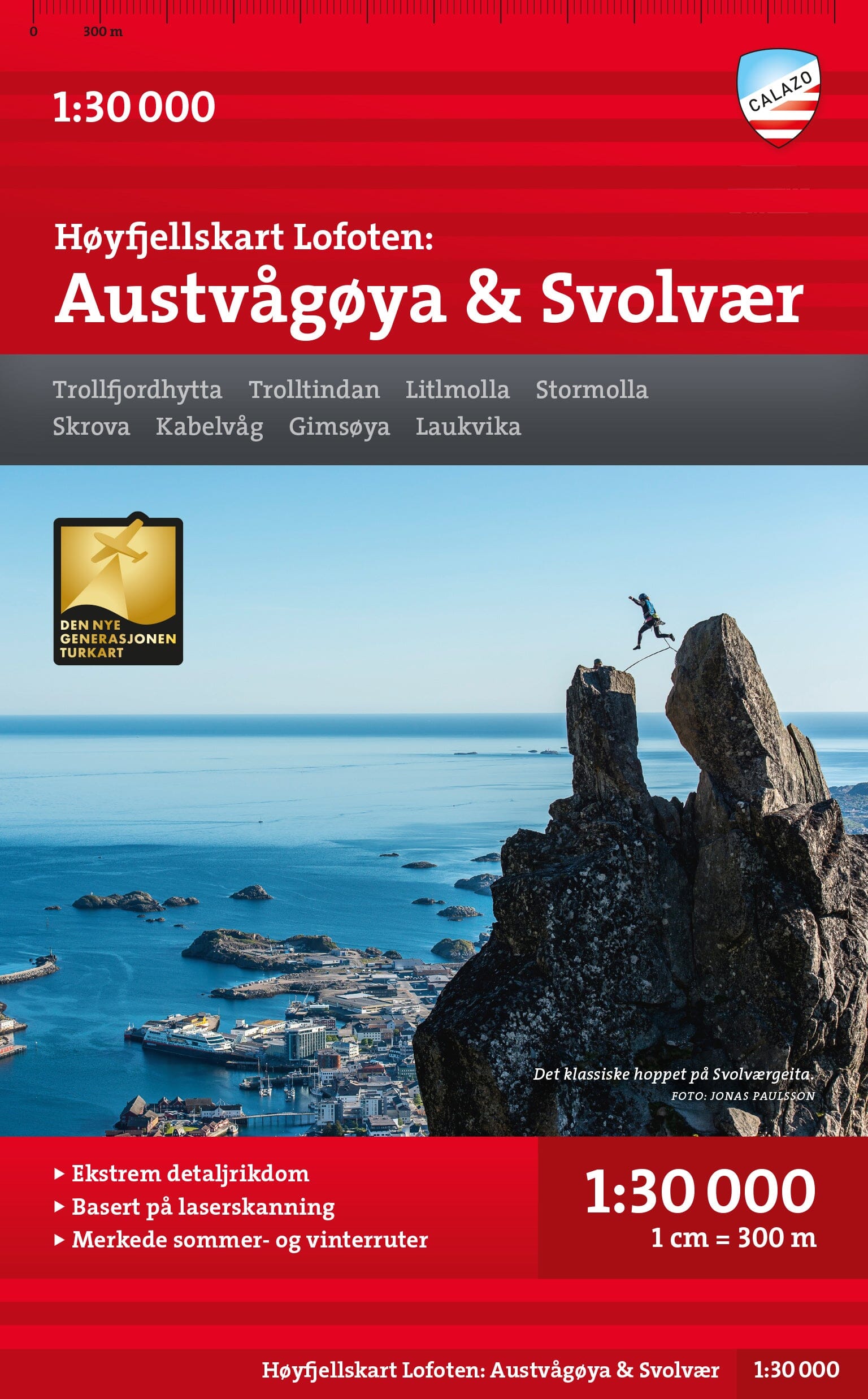
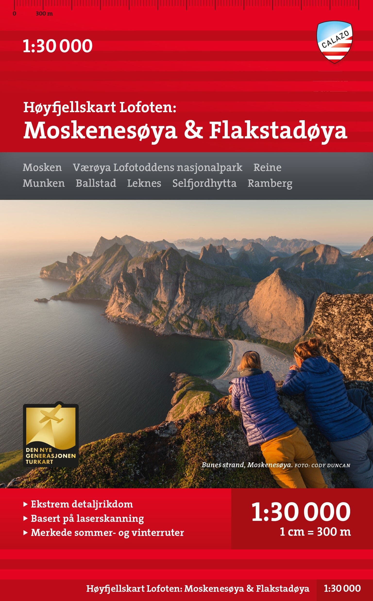
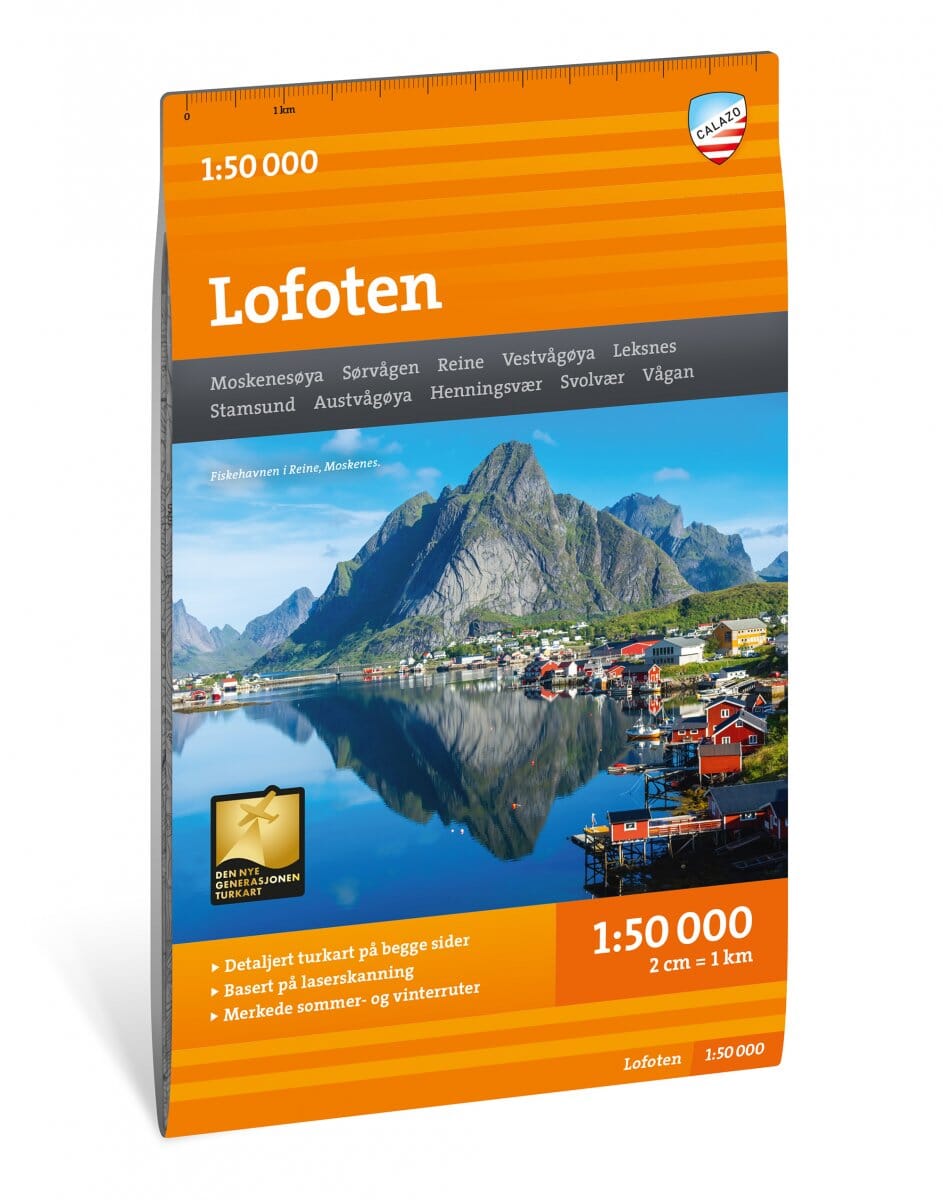
Hiking map - Lofoten (Norway) | Calazo - 1:50,000
- Free returns (*)
- Real-time stock levels
-
Cartovia Guarantee – Delivery issue?
We resend immediately upon receiving a simple photo.
📦 Hard-to-find maps - worldwide shipping
📦 Hard-to-find maps & travel guides - worldwide shipping, 30-day returns
🌞 Summer travel: 20,000+ maps in stock
🌞 Plan your summer: 20,000+ maps and travel guides in stock Details →
✅ Latest editions guaranteed — since 2010
✅ Latest editions guaranteed - 180,000+ travellers equipped since 2010
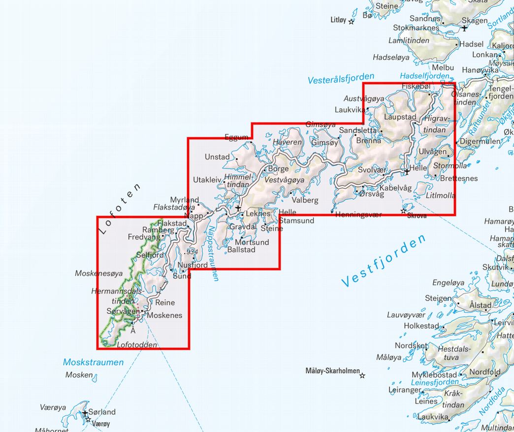
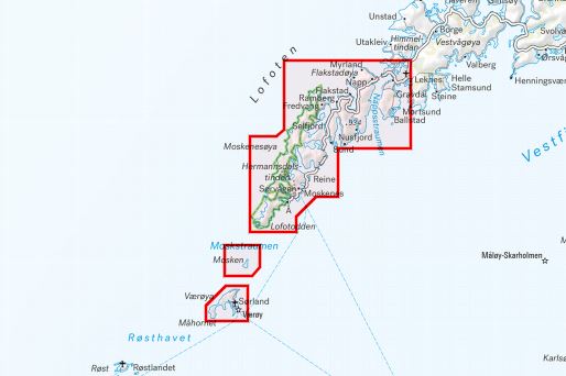
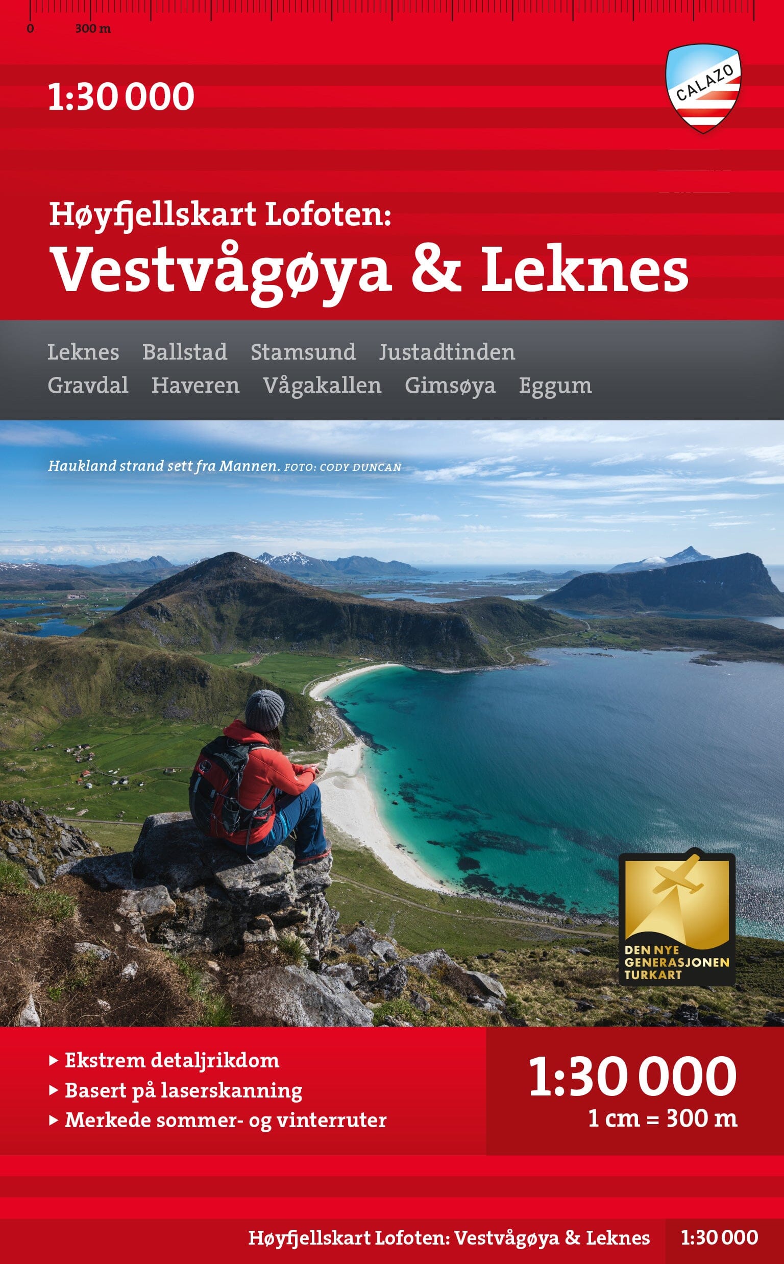
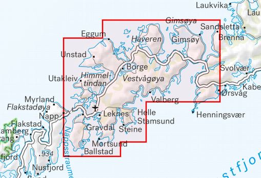
This Calazo hiking map covers the entire Lofoten archipelago, one of Norway's most spectacular destinations. Renowned for their steep mountains plunging into the sea, the Lofoten islands are home to many iconic routes such as Reinebringen, Ryten or Mannen.
Thanks to next-generation mapping based on LIDAR data, this map offers an exceptional level of detail for hiking and outdoor activities.
The map is printed on Tyvek®, a material particularly popular with hikers:
ISBN/EAN
: 9789189371910
Publication date: 2024
Scale: 1/50,000 (1cm=500m)
Printed sides: both sides
Folded dimensions: 13 x 21cm
Language(s): English, Norwegian
Weight:
60 g
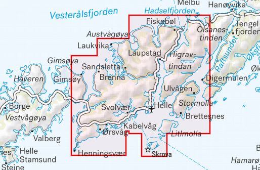
Cette carte va m’être bien utile pour mon séjour itinérant aux Lofoten! 1 carte par sous-île de l’archipel, il faut d’abord se familiariser avec la présentation en plusieurs planches mais ensuite , ça roule! Les petites routes et sentiers côtiers sont bien indiqués !
Très belle carte qui nous a été bien utile
Papier de qualité, carte suffisamment précise pour la randonnée. Je recommande.
ile ce qu'il me fallait:-)
The exclusive newsletter for travel and discovery enthusiasts!