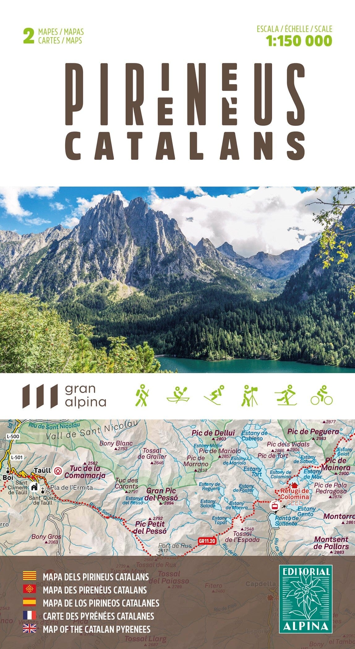
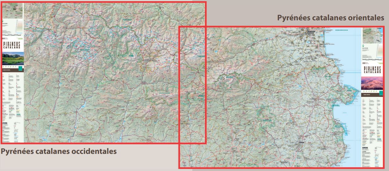
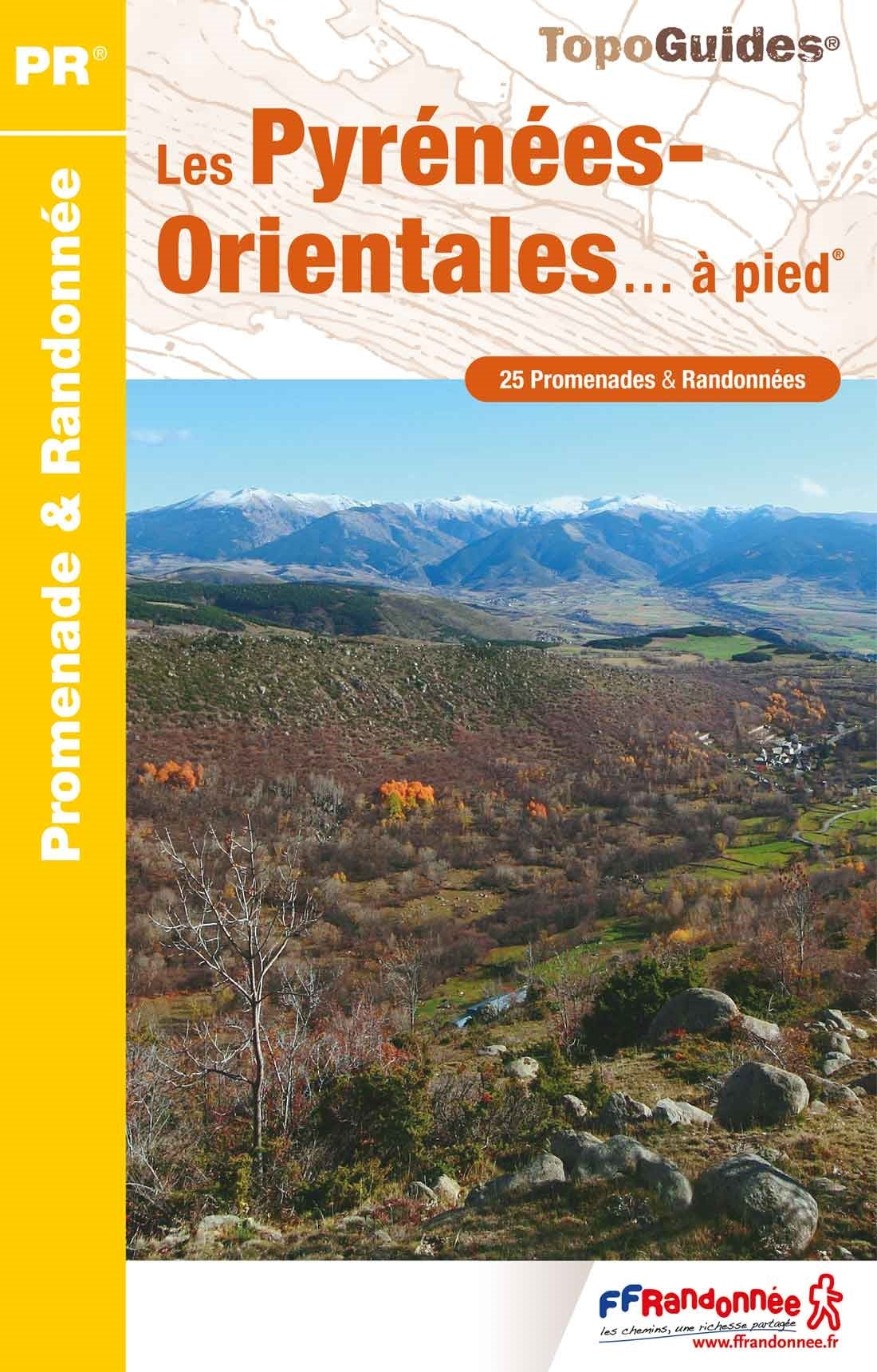
Hiking map – GR® de Pays in the Catalan Pyrenees: Tour des Pérics & Tour du Capcir
Prepare your next hiking trip in the Catalan Pyrenees with this ultra-practical map combining two marked GR® de Pays . This durable map will take you on some of the most spectacular high-altitude trails in the south of France, between glacial lakes, panoramic ridges and the high plateaus of Capcir .
🧭 Two must-see routes to discover:
-
Tour des Pérics : 4-day sporty loop – 49 km, in the high mountains, with accommodation in mountain huts
-
Tour du Capcir : accessible 5-day loop – 63 km, perfect for hikers who love unspoiled nature
📌 These GR® de Pays offer a complete roaming experience, combining varied landscapes, natural richness and the tranquility of wide open spaces.
🗺️ A map designed for hikers:
-
Scale 1:35,000, clear and precise reading of the relief
-
Double-sided printing, on water-resistant coated paper
-
Access to GPX tracks and useful addresses via the free MaRando application
Selection of partner accommodations on both routes
🌄 Hiking in the Catalan Pyrenees Regional Natural Park
This map takes you to discover the emblematic landscapes of the Catalan Pyrenees Regional Natural Park : the Orlu reserve, the Capcir high plateaus, high-altitude lakes, deep forests, granite peaks and clear streams. Each stage brings you closer to a living and authentic mountain, ideal for hiking .