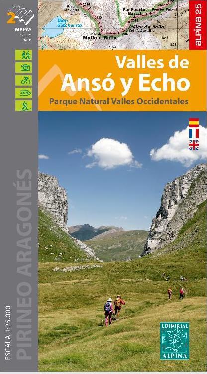
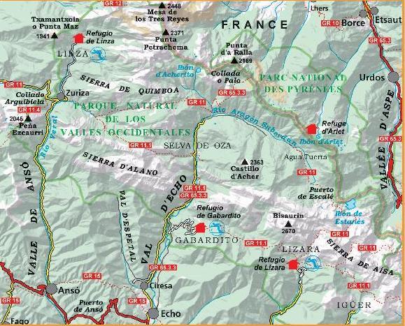
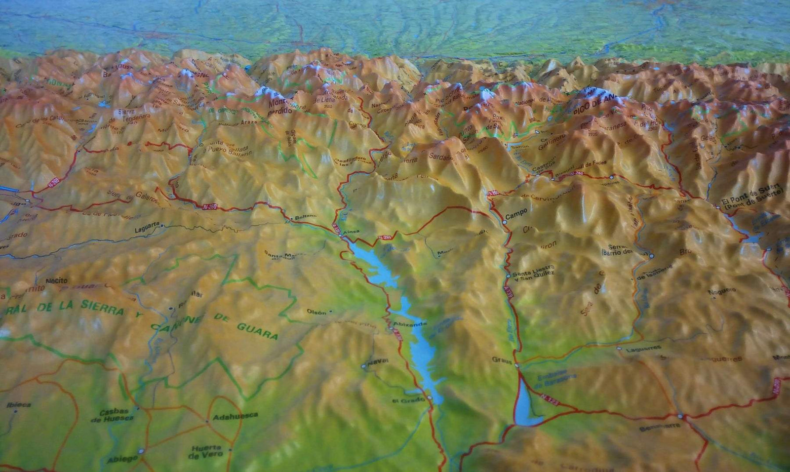
Detailed topographic maps of Anso and Echo valleys with Interest information for hikers: shelters, marked trails (GR, PR, local trails ), mountain trails, etc. Detailed legend. GPS compatible map.
Map area: Western Los Valles Natural Park. Pyrenees Aragonese. Region of Jacetania. Ansó and Echo Valleys Sector.
Complementary information included:
• Refuges kept and shelters
• Information offices of the Natural Park
• Addresses of interest. < / p>
Detailed maps, published by Editorial Alpina, are impermeable, in color with the level curves and indicate the hiking trails.


