Gall-Peters Word maps
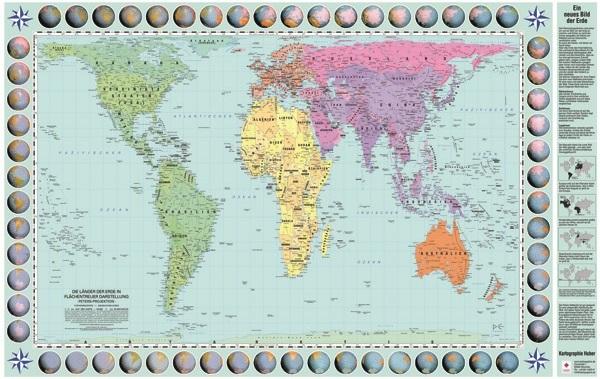
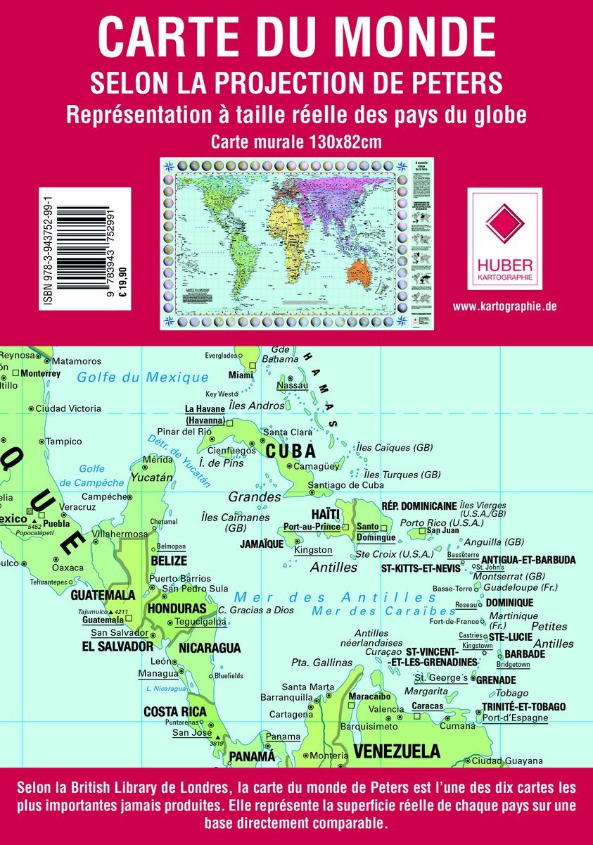
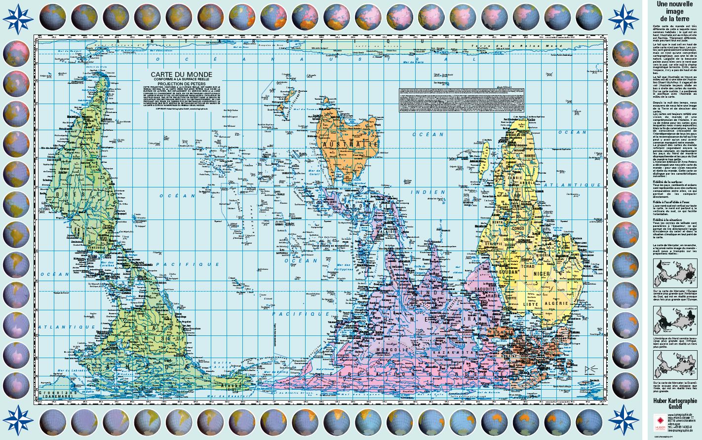
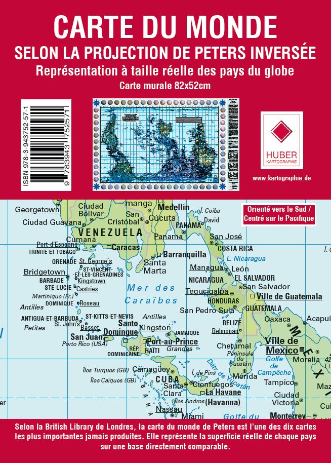
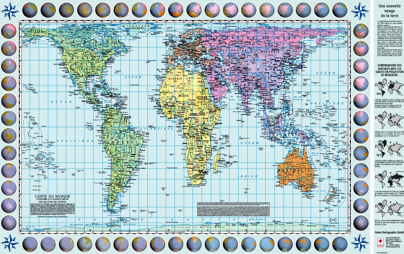
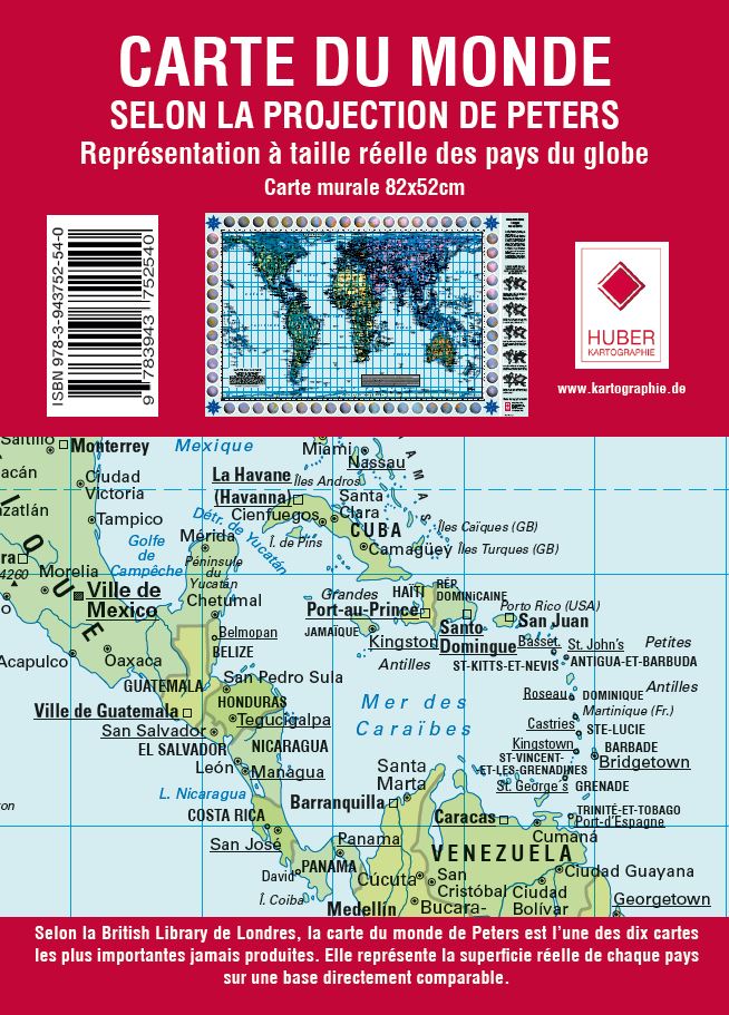
Discover our selection of world maps using the Gall-Peters projection, a cartographic representation that respects the actual surface areas of continents and countries. Unlike the Mercator projection, it offers a more accurate view of the relative sizes of territories. These maps are particularly popular in schools, universities, and with anyone who desires a more equitable representation of the world.
12 products