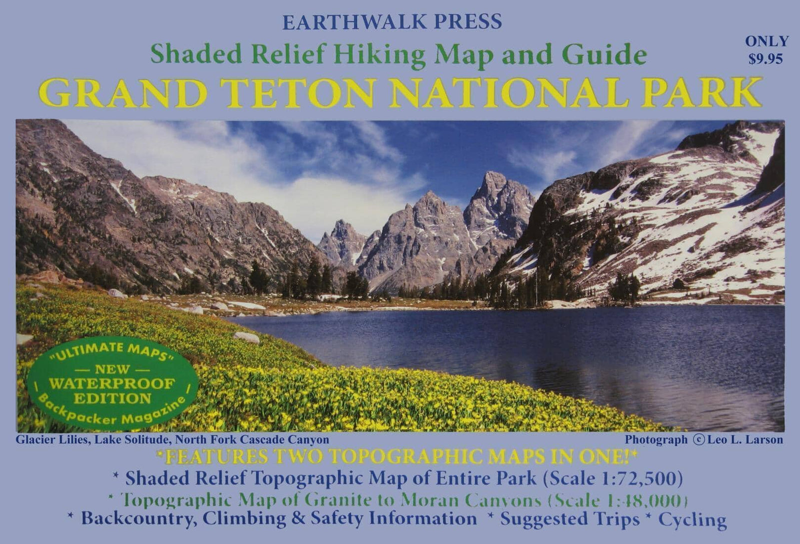
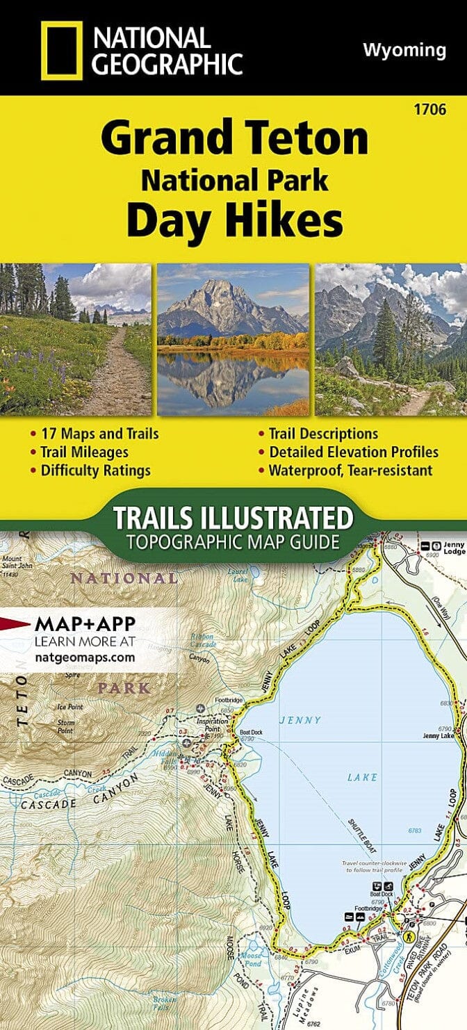
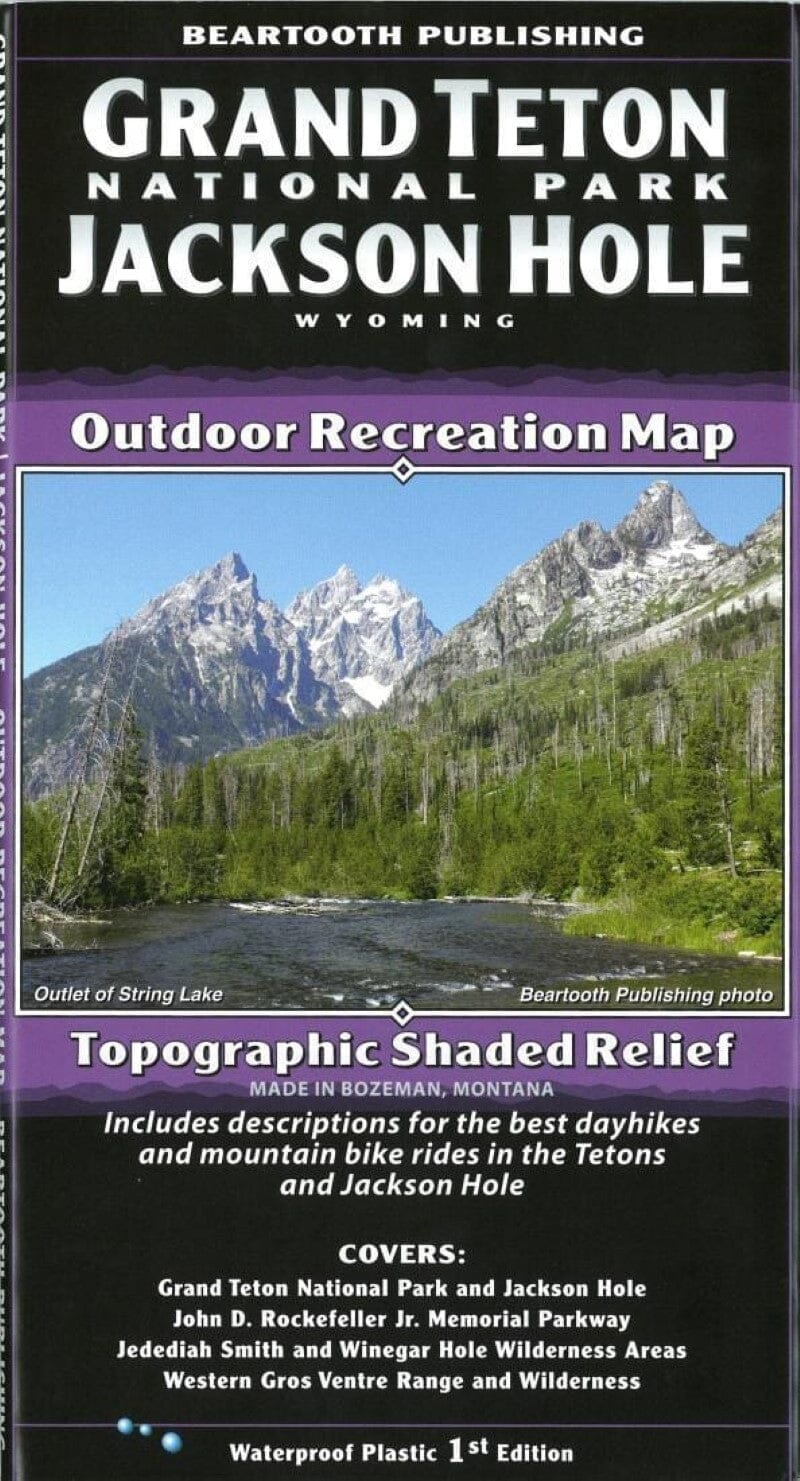
Shaded relief hiking map and guide of Grand Teton National Park, WY.
Shaded relief topographic map of the entire park (scale 1:72,500)
.
Topographic map of Granite Canyons to Moran Canyons (scale 1:48,000)
.
Backcountry and climbing regulations, trail mileage, and suggestions for enjoying your visit with minimal impact on the park's delicate ecology.
Printed on waterproof and tear-resistant material.
ISBN/EAN : 9780915749065
Publication date: 2017
Folded dimensions: 6.5 inches x 9.45 inches (16.5 x 24 cm)
Unfolded dimensions: 37.8 inches x 25.59 x 27 inches (96 x 65 x 68.580 cm)
Language(s): English
Weight:
60 g

