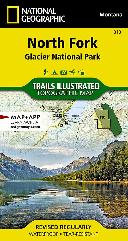
National Geographic's Trails Illustrated map of North Fork in Glacier National Park is useful even for experienced outdoor enthusiasts exploring this unspoilt landscape with very few facilities. Two additional maps cover the park's Many Glacier and Two Medicine areas; a complete Glacier National Park Trails Illustrated map is also available.
Created with the National Park Service, U.S. Forest Service and other agencies, this expertly researched map highlights Bowman Lake, Lake McDonald Valley, Goat Haunt and Avalanche Creek.
Mapped routes include the Pacific Northwest Trail, Continental Divide Trail and recommended cycling routes. Contours and elevations are shown for summits, passes and major lakes. Unbridged stream crossings, seasonal plank bridges and suspension bridges are also marked to help with navigation.
Recreational features include campsites, backcountry campsites, trailheads, interpretive trails, fishing and boating access, and horse rental locations. Information covers park recreation, backcountry hiking and camping, regulations and safety tips.
Other mapped features include the Apgar Mountains, Bowman Lake, Flathead National Forest, Glacier, Kintla Lake, Lake McDonald, the Lewis and Livingston Ranges, Mount Carter and Mount Cleveland.
This topographic map is waterproof and tear-resistant. Scale: 1:50,000.