Wind River Range, Wyoming, south, waterproof | Earthwalk Press
- Free returns (*)
- Real-time stock levels
-
Cartovia Guarantee – Delivery issue?
We resend immediately upon receiving a simple photo.
📦 Hard-to-find maps - worldwide shipping
📦 Hard-to-find maps & travel guides - worldwide shipping, 30-day returns
🌞 Summer travel: 20,000+ maps in stock
🌞 Plan your summer: 20,000+ maps and travel guides in stock Details →
✅ Latest editions guaranteed — since 2010
✅ Latest editions guaranteed - 180,000+ travellers equipped since 2010
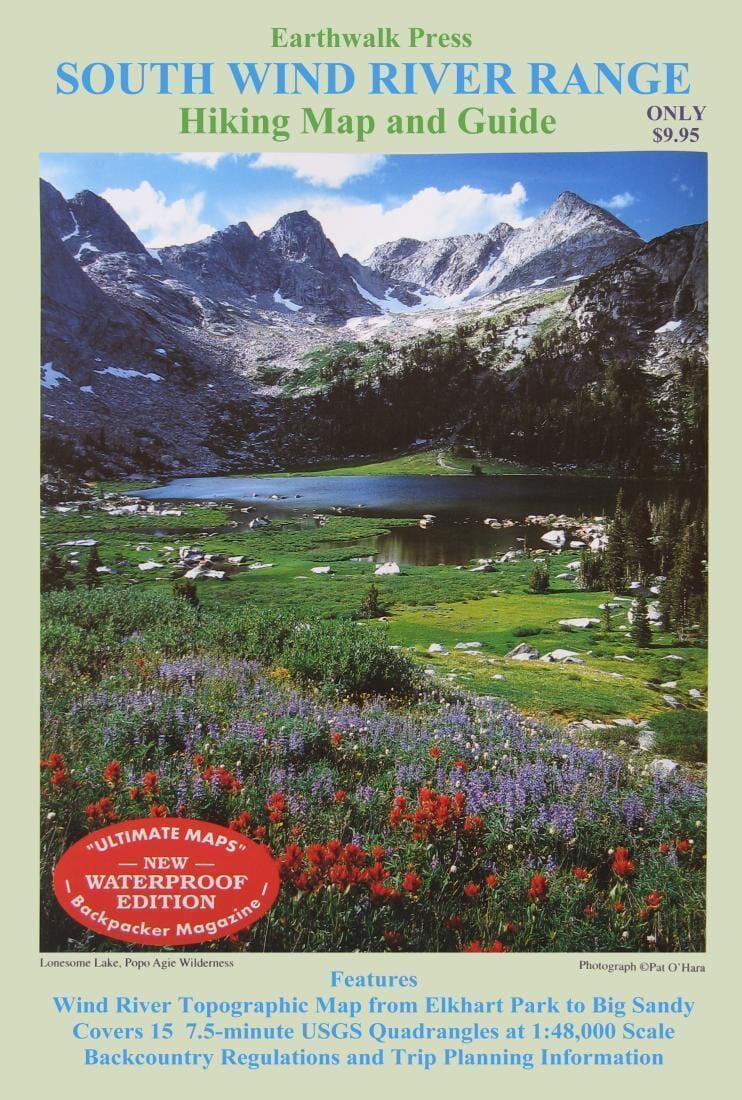
Printed on waterproof, tear-resistant material. Topographic map of Wind River, from Elkhart Park to Big Sandy, at a scale of 1:48,000. Includes backcountry regulations and trip planning information. Print in 6 vibrant colors.
ISBN/EAN
: 9780915749218
Publication date: 2019
Folded dimensions: 9.75 inches x 6.75 inches (24.77 x 17.150 cm)
Unfolded dimensions: 34.06 inches x 25 inches (86.5 x 63.5 cm)
Language(s): English
Weight:
60 g
This map should help in the Winds in July.
Covered my route and is a great map.
Great map. Easy to use and waterproof.
Good, detailed map. Somewhat awkward size, but can fold in half for hiking.
The exclusive newsletter for travel and discovery enthusiasts!