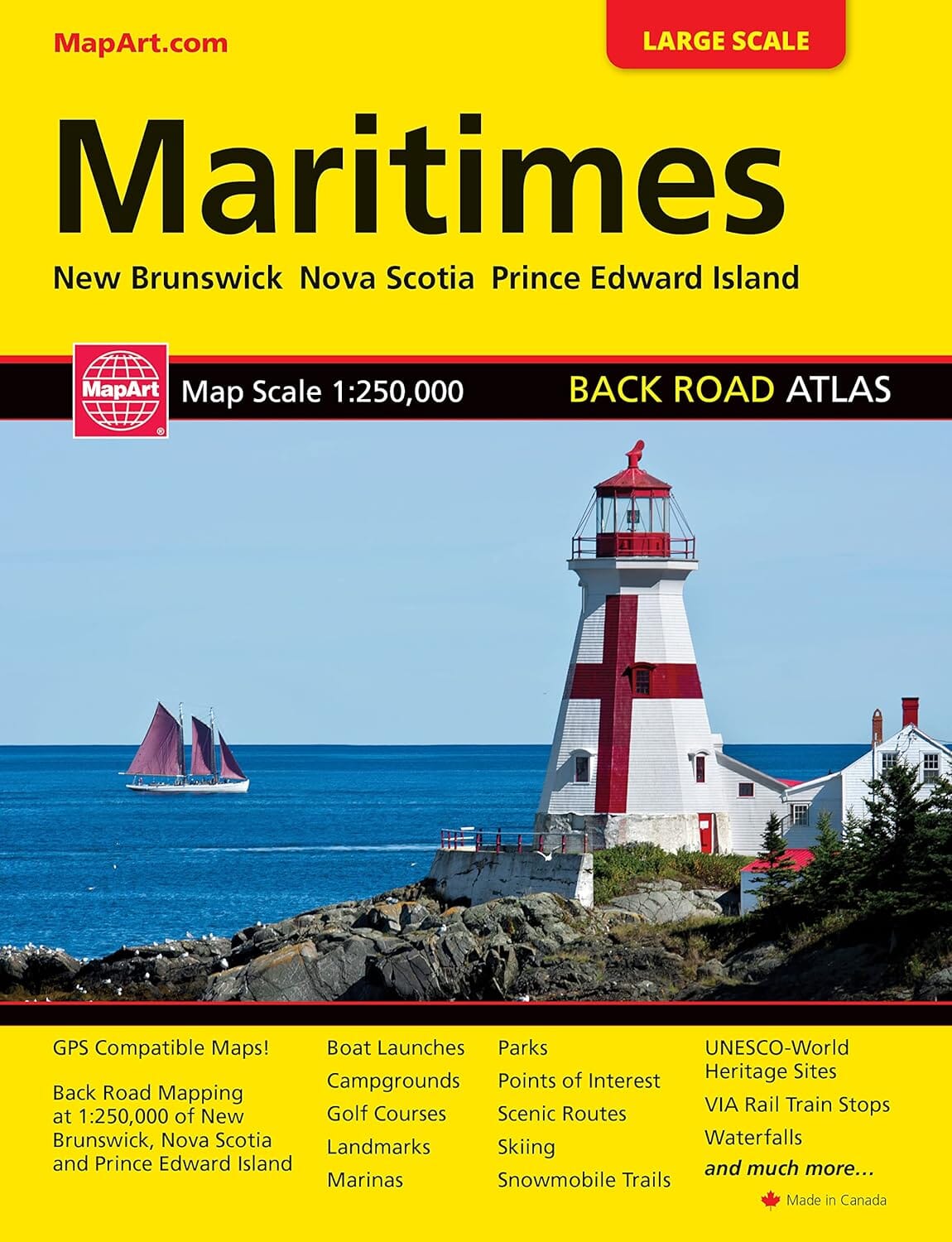
Maritimes Canada Back Road Atlas | Canadian Cartographics Corporation

Price
Regular price CHF 2200
Regular price Sale price CHF 2200
/
  • Free returns (*)
  • Real-time stock levels
  • Cartovia Guarantee – Delivery issue?
    We resend immediately upon receiving a simple photo.
  • In stock, ready to ship
  • Backordered, shipping soon
Tax included.

Frequently bought together:

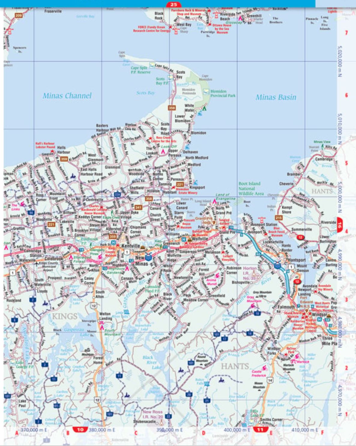
This 120-page atlas of Canada's Maritime provinces contains road maps at 1:250,000 for New Brunswick, Nova Scotia and Prince Edward Island, locator maps, a UTM zone map, road maps, a distance table, Atlantic Canada ferry information, Confederation Bridge information, scenic roads, a community index and a road index.

Regional map features

  • Expressways, interchanges and exit numbers.
  • Divided primary roads, primary roads, divided secondary roads and secondary roads.
  • Unpaved primary and secondary roads; county, regional and municipal roads; paved and unpaved roads; unimproved and seasonal roads.
  • The Trans-Canada Highway and interstate highways.
  • Airports, VIA Rail stations, railways and ferries.
  • RCMP, Quebec police and other police stations, hospitals, customs and tourist information centres.
  • Toll bridges, boundaries, time zones and rest areas.
  • Skiing, mountain biking, golf courses, wharves, boat launches and marinas.
  • Points of interest, landmarks, scenic roads, snowmobile trails and the Trans Canada Trail.
  • Campsites, UNESCO World Heritage Sites and national historic sites.
  • Birdwatching, viewpoints and lookouts, lighthouses, whale watching and sugar shacks.
  • Rapids, waterfalls, beaches and peaks.
  • National and provincial parks, bird sanctuaries, National Defence land and Indigenous reserves.
  • Population information and much more.


ISBN/EAN : 9781554862191
Publication date: 2025
Scale: 1/250,000 (1 cm = 2.5 km)
Unfolded dimensions: 11.02 inches x 8.27 inches (28 x 21 cm)
Language(s): English
Weight: 350 g