Road map no. 4 - Northern England | Ordnance Survey - Road

Price
Regular price CHF 1200
Regular price Sale price CHF 1200
/
  • In stock in France and in the UK
    Shipped within 24 to 48h from the warehouse closest to you
  • Customs duties may apply on import to your country
  • Free returns (*)
  • Real-time stock levels
  • Cartovia Guarantee – Delivery issue?
    We resend immediately upon receiving a simple photo.
  • In stock, ready to ship
  • Backordered, shipping soon
Tax included.

Frequently bought together:

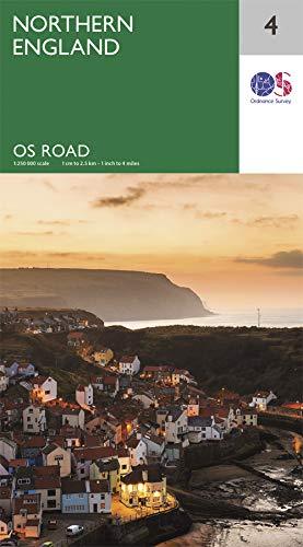
This detailed road map depicts northern England and is published by Ordnance Survey. Reference: 4.

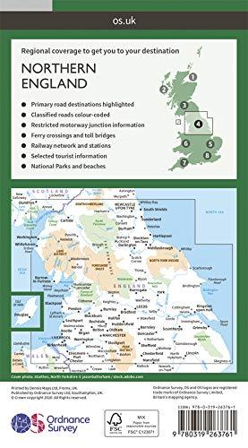
National parks, forests and relief are highlighted.

Coverage begins at Chester in the south and includes most of Peak District National Park. It extends north to just beyond Newcastle-upon-Tyne.

Scale: 1:250,000 (1 cm = 2.5 km).


ISBN/EAN : 9780319263761
Publication date: 2020
Scale: 1/250,000 (1cm=2.5km)
Printed sides: front
Folded dimensions: 13.5 x 24cm
Unfolded dimensions: 125 x 98cm
Language(s): English
Weight: 128 g