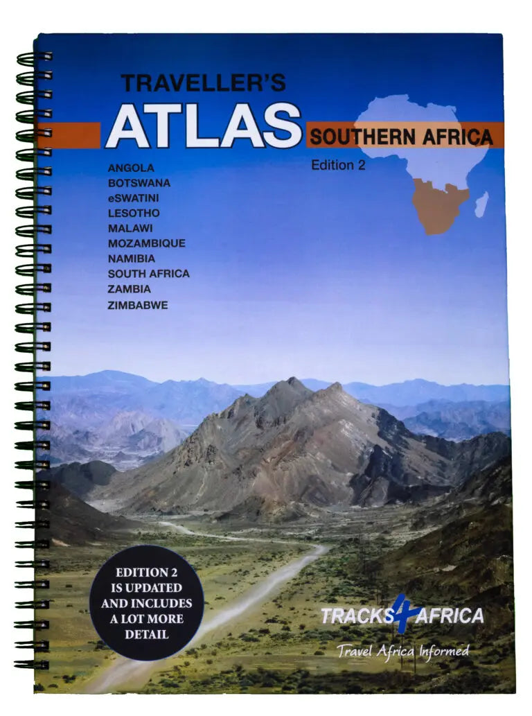
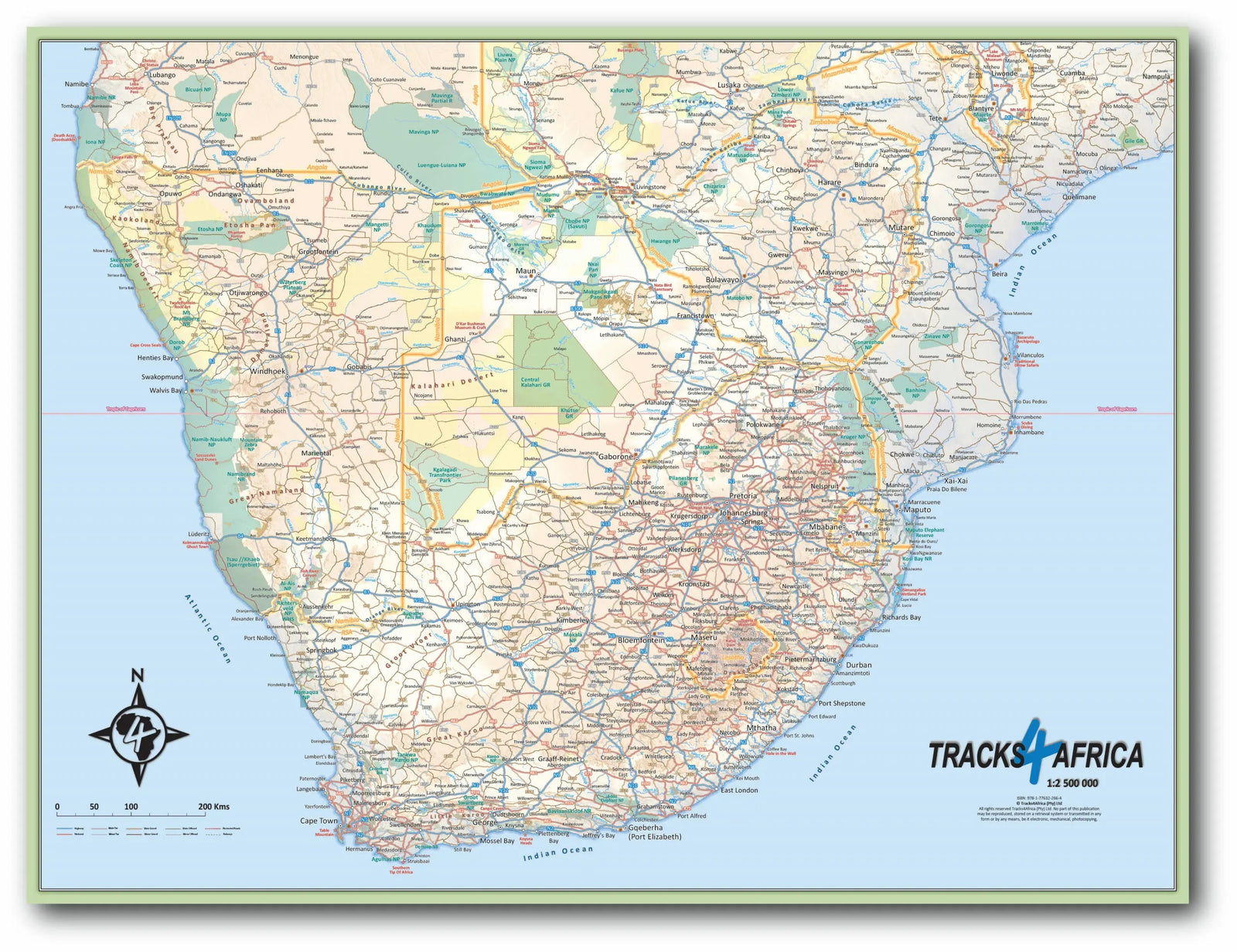
This spiral-bound Southern Africa travel atlas is designed especially for independent, self-drive travellers. It covers Angola, Botswana, Lesotho, Malawi, Mozambique, Namibia, South Africa, Eswatini (Swaziland), Zambia and Zimbabwe.
The atlas contains 108 pages of detailed maps, with the same quality as Tracks4Africa's individual maps. It is printed in A3 format, with a laminated cover and pages printed on quality paper.
Map features
- All main roads, plus 107,170 km of tracks.
- Distances and travel times between towns and cities.
- Essential facilities available in towns and cities.
- Camping and accommodation.
- 614 tourist attractions.
- All border crossings, with opening hours.
- All international airports, with IATA / ICAO codes.
- 462 protected areas.
The first section provides travel information for each of the ten countries. Border-crossing details and information on major attractions help with preparation, while sections on driving conditions provide guidance on the road.
Map scales
Because population distribution, road networks and infrastructure vary between countries, the atlas uses different scales:
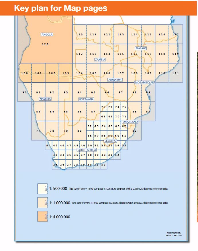
- 1:4,000,000 maps of Southern Africa and East Africa, ideal for broad route planning.
- 1:1,000,000 maps of Southern Africa, covering Angola, Botswana, Eswatini (Swaziland), Lesotho, Malawi, Mozambique, Namibia, South Africa, Zambia and Zimbabwe.
- 1:500,000 maps of South Africa, Malawi, most of Zambia and Botswana's Moremi/Chobe region.
Information for self-drive travellers
Beyond reliable maps and border preparation, independent travellers need to know where to sleep, buy fuel and food, get emergency help and find places to visit. The maps therefore show vehicle repairs, banks, fuel, hospitals, police, restaurants and shops, as well as camping and accommodation.
Protected areas are a highlight of travel in these countries and are clearly emphasised on Tracks4Africa maps. This atlas includes details of 462 protected areas.