London City Map & Southeast England Map | ITM

Price
Regular price CHF 1300
Regular price Sale price CHF 1300
/
  • Shipped within 24 to 48h from our warehouse in France
  • Customs duties may apply on import to your country
  • Free returns (*)
  • Real-time stock levels
  • Cartovia Guarantee – Delivery issue?
    We resend immediately upon receiving a simple photo.
  • In stock, ready to ship
  • Backordered, shipping soon
Tax included.

Frequently bought together:

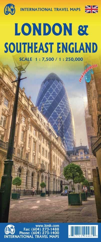
Large detailed map of London on the front, showing the many museums, theatres, attractions and parks, as well as some of the hundreds of pubs in the city.

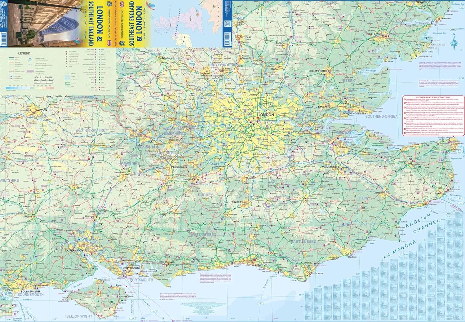
On the reverse is a map of southern England including all the cities easily accessible from London: Canterbury, Oxford, Norwich, Birmingham, Cheste and Lincoln. Motorways, main and secondary roads, as well as tourist attractions (castles, etc.) are shown. An inset map of the Channel Islands is included.

This map is waterproof and tear-resistant.


ISBN/EAN : 9781771294461
Publication date: 2024
Scale: 1 / 7 500 (1 cm = 75 m) & 1 / 250 000 (1 cm = 2,5 km)
Printed sides: both sides
Folded dimensions: 24.6 x 10.3 x 0.5cm
Unfolded dimensions: 100 x 68 cm
Language(s): English
Weight: 74 g